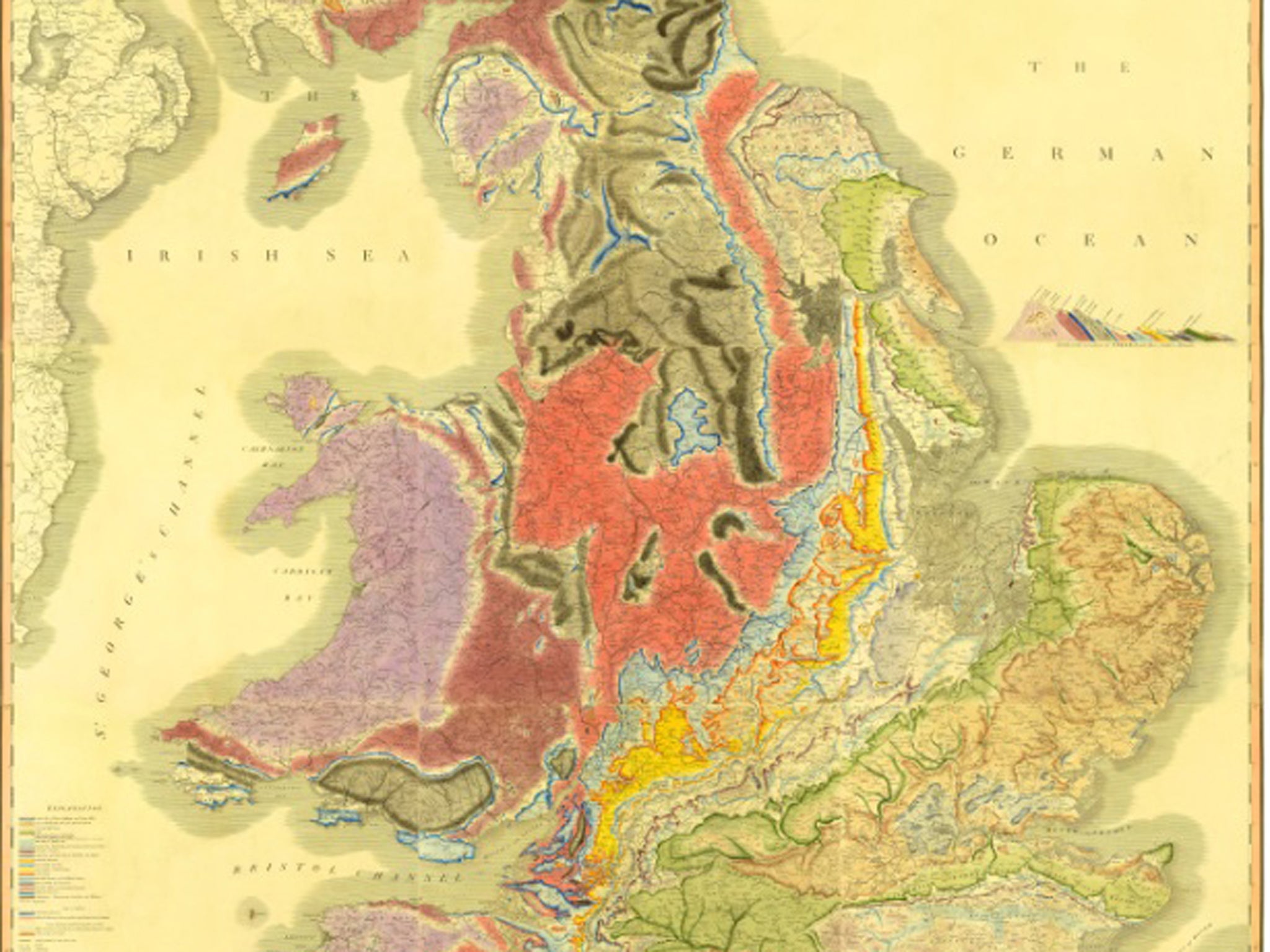
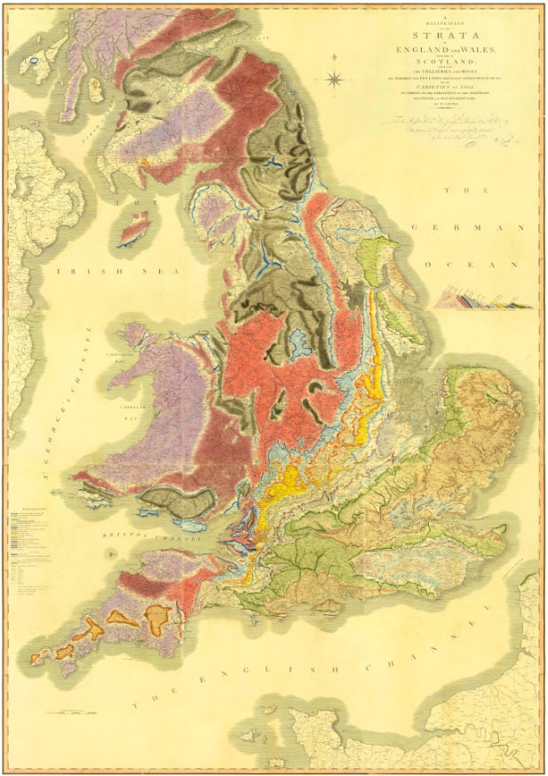
Rare first edition of 200-year-old William Smith 'map that changed the world' found
Discovery comes alongside the 200th anniversary of the map, on which all geological maps are based

Your support helps us to tell the story
From reproductive rights to climate change to Big Tech, The Independent is on the ground when the story is developing. Whether it's investigating the financials of Elon Musk's pro-Trump PAC or producing our latest documentary, 'The A Word', which shines a light on the American women fighting for reproductive rights, we know how important it is to parse out the facts from the messaging.
At such a critical moment in US history, we need reporters on the ground. Your donation allows us to keep sending journalists to speak to both sides of the story.
The Independent is trusted by Americans across the entire political spectrum. And unlike many other quality news outlets, we choose not to lock Americans out of our reporting and analysis with paywalls. We believe quality journalism should be available to everyone, paid for by those who can afford it.
Your support makes all the difference.A rare edition of one of the most important maps ever made has been found by archivists and made available online.
The 1815 Geological Map of England and Wales, made by William Smith, was initially thought lost. It was the first geological map of a nation ever produced, showing the geological strata of England, Wales and a part of Scotland.
The map is thought to be one of the first ten copies made, and is one of about 380 hand-coloured copies of the map that were made by Smith. The find has been made public as a number of geological groups celebrate the 200th anniversary of the map.
Smith pioneered the science of stratigraphy, helping to map the layers that make up the Earth, and has been called the Father of English Geology. The map served as the basis for all the geological surveys that followed in Britain and around the world.

“Smith’s importance to the history of our science cannot be overstated,” said John Henry, Chair of the Geological Society’s History of Geology Group. “His map is a remarkable piece of work. It helped shape the economic and scientific development of Britain, at a time before geological surveys existed.”
An early copy of the map was recently made available for sale at £150,000, but the Geological Society says that it is difficult to estimate exactly how much the newly-found map would be worth. It was discovered by one of the society’s archivists, during an audit of the society’s holdings.
“The map was found among completely unrelated material, so at first I didn’t realise the significance of what I’d uncovered” said Victoria Woodcock, who found the map last year. “Once we had worked out that it was an early copy of one of the earliest geological maps ever made, I was astonished. It’s the kind of thing that anyone working in archives dreams of, and definitely the highlight of my career so far!”
The map has no serial number, and so is a first edition, and can also be dated by the lack of features that were present in later editions.
Because the map was lost for so long, it has had little exposure to light. That means that the bright colours that were originally in the map have been preserved.
Join our commenting forum
Join thought-provoking conversations, follow other Independent readers and see their replies
Comments