Archaeologist’s theory may have finally solved mystery of Egypt’s pyramids
The long-lost branch of the River Nile would have provided an essential water route for transporting goods to build Egypt’s ancient pyramids
Your support helps us to tell the story
From reproductive rights to climate change to Big Tech, The Independent is on the ground when the story is developing. Whether it's investigating the financials of Elon Musk's pro-Trump PAC or producing our latest documentary, 'The A Word', which shines a light on the American women fighting for reproductive rights, we know how important it is to parse out the facts from the messaging.
At such a critical moment in US history, we need reporters on the ground. Your donation allows us to keep sending journalists to speak to both sides of the story.
The Independent is trusted by Americans across the entire political spectrum. And unlike many other quality news outlets, we choose not to lock Americans out of our reporting and analysis with paywalls. We believe quality journalism should be available to everyone, paid for by those who can afford it.
Your support makes all the difference.Archeologists believe they may have discovered the secret behind one of the wonders of the world.
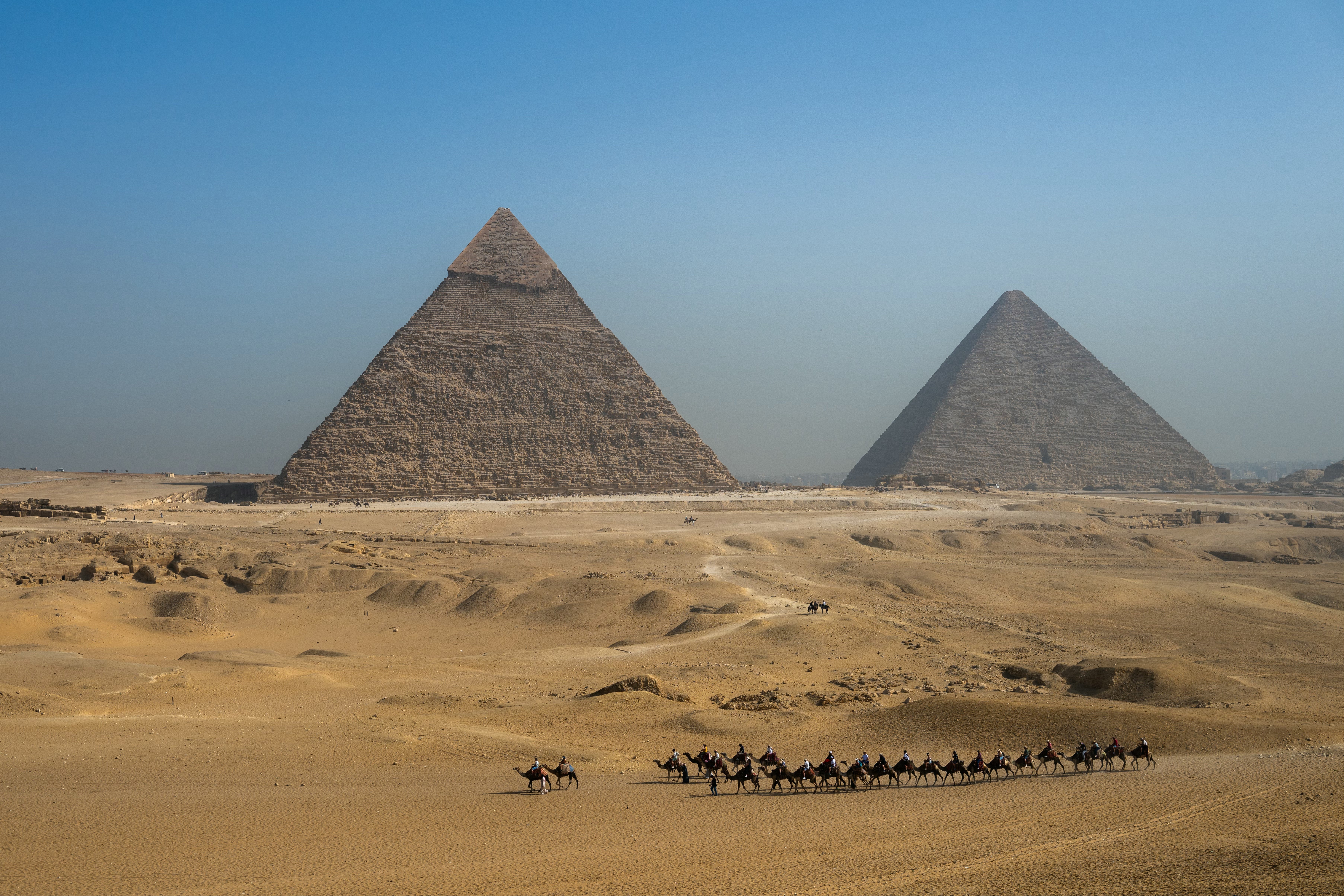
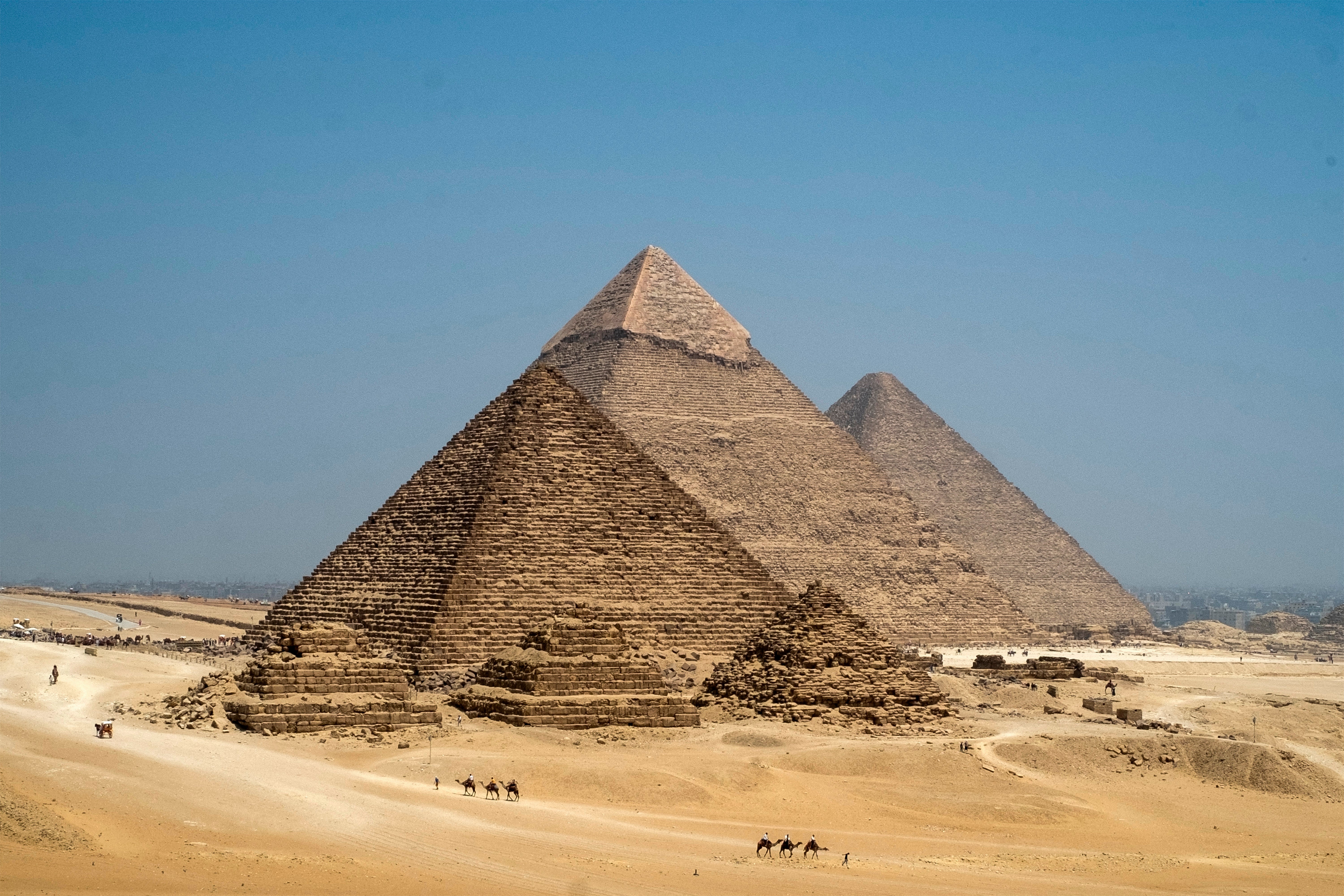
Some 4,700 years after the construction of Egypt’s pyramids began, including the Great Pyramids of Giza, researchers have found they may have been built along an abandoned branch of the river Nile.
New evidence suggests this lost 40-mile (64-kilometre) branch of the Nile was used for transporting construction material to the pyramids, which were built over an 1000-year period. This could explain why the pyramids are concentrated in what is now a narrow, inhospitable strip of the Saharan Desert.

“Many of us who are interested in ancient Egypt are aware that the Egyptians must have used a waterway to build their enormous monuments, like the pyramids and valley temples, but nobody was certain of the location, the shape, the size, or proximity of this mega waterway to the actual pyramids site,” Eman Ghoneim, from the University of North Carolina Wilmington, USA, said.
Ms Ghoneim and colleagues studied satellite imagery to find the location of a branch that may have run along the foothills of the Western Desert Plateau, very near to the pyramids.
They then used geophysical surveys and sediment cores to confirm the presence of river sediments and former channels beneath the modern land surface.

“Our research offers the first map of one of the main ancient branches of the Nile at such a large scale and links it with the largest pyramid fields of Egypt,” she added.
The authors suggest that an increased build-up of windblown sand, linked to a major drought that began approximately 4,200 years ago, could be one of the reasons for the branch’s migration east and eventual silting up.
Writing in the journal Communications Earth and Environment, the researchers say: “We identify segments of a major extinct Nile branch, which we name The Ahramat Branch, running at the foothills of the Western Desert Plateau, where the majority of the pyramids lie.
“Many of the pyramids, dating to the Old and Middle Kingdoms, have causeways that lead to the branch and terminate with Valley Temples which may have acted as river harbours along it in the past.
“We suggest that The Ahramat Branch played a role in the monuments’ construction and that it was simultaneously active and used as a transportation waterway for workmen and building materials to the pyramids’ sites.”
