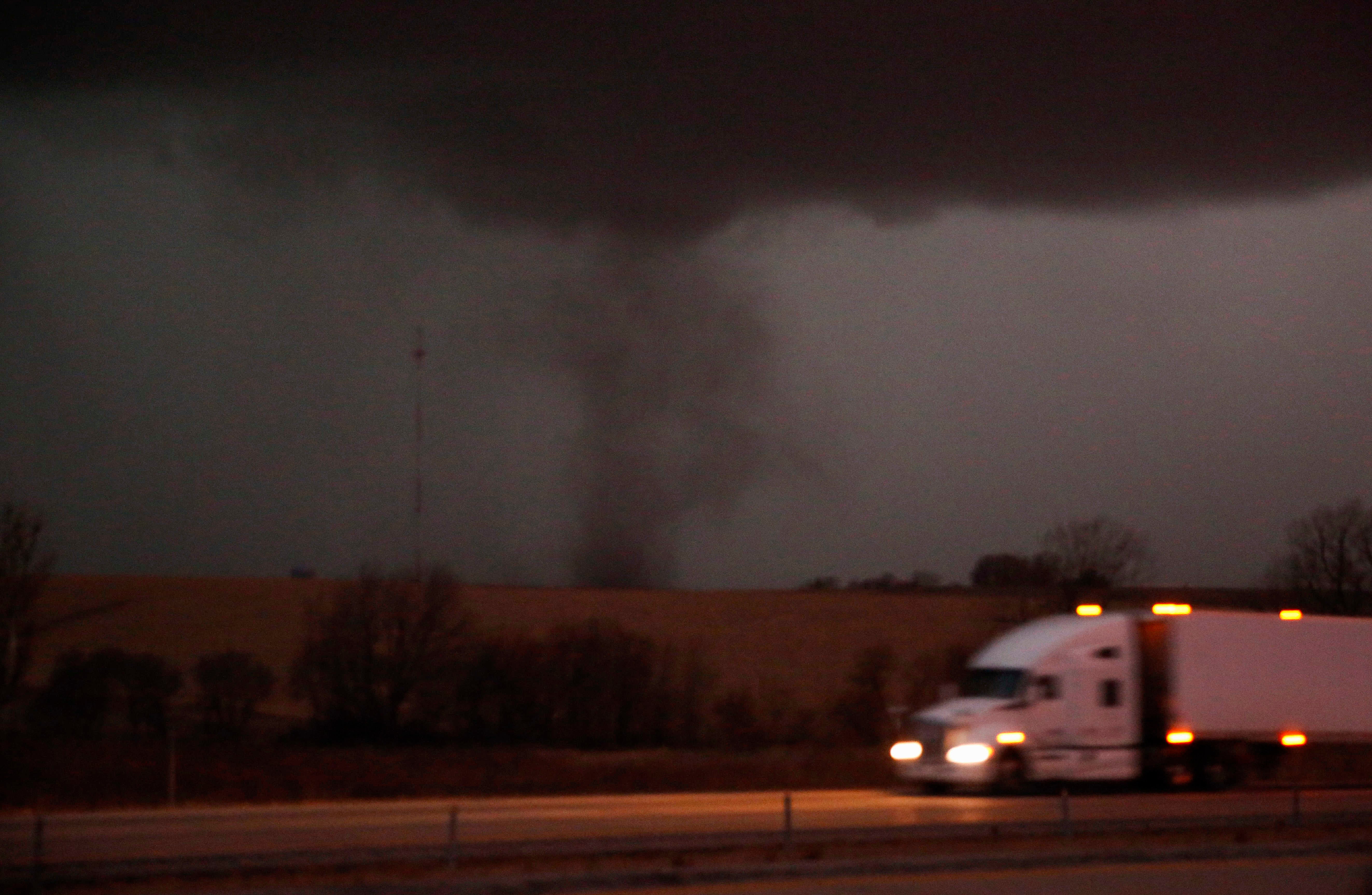
Dec. 15 storms across north-central US classified as derecho
A line of severe thunderstorms and tornadoes that swept across the north-central U.S. last week has been classified by the National Weather Service as a serial derecho — the first on record December

Your support helps us to tell the story
From reproductive rights to climate change to Big Tech, The Independent is on the ground when the story is developing. Whether it's investigating the financials of Elon Musk's pro-Trump PAC or producing our latest documentary, 'The A Word', which shines a light on the American women fighting for reproductive rights, we know how important it is to parse out the facts from the messaging.
At such a critical moment in US history, we need reporters on the ground. Your donation allows us to keep sending journalists to speak to both sides of the story.
The Independent is trusted by Americans across the entire political spectrum. And unlike many other quality news outlets, we choose not to lock Americans out of our reporting and analysis with paywalls. We believe quality journalism should be available to everyone, paid for by those who can afford it.
Your support makes all the difference.A line of severe thunderstorms and tornadoes that swept across the north-central U.S. last week was the result of a serial derecho — the first on record in December, officials with the National Weather Service said Monday.
At least 45 tornadoes have been preliminarily confirmed in the Dec. 15 storms that crossed the Great Plains and Midwest amid unseasonably warm temperatures, said Bill Bunting, chief of forecast operations at the weather service's Storm Prediction Center. Nebraska Iowa and Minnesota took the brunt of the damage.
Bunting said at least 12 of the tornadoes were rated EF-2. Many of the thunderstorms also carried winds of up to 80 mph (129 kph). Five deaths were blamed on the weather.
Bunting said that normally in December, air from the Gulf of Mexico has cooled, and colder air is present in the upper Midwest — factors that reduce the risk of severe thunderstorms and tornadoes. But this year, “we haven’t had much of a winter,” he said.
“So you had a very strong storm system with really somewhat unprecedented access to very warm, humid air that flows northward, and those are the ingredients that you look for for severe thunderstorms," Bunting said. "The result was quite remarkable for December.”
A derecho is often described as an inland hurricane. But, it has no eye and its winds come across in a line. The similarity is in the damage, which is likely to spread over a wide area, unlike a tornado where the damage is more spotty.
The weather service said a wind damage swath extending more than 240 miles (386 kilometers) with wind gusts of at least 58 mph (93 kilometers per hour) along most of its length can be classified as a derecho.
A derecho was also declared in August 2020 when storms packing 100 mph (161 kph) winds lasted several hours and caused damage from eastern Nebraska, across Iowa and into parts of Wisconsin and Illinois.
There was a difference: The August 2020 storm was a progressive derecho, while last week's was a serial derecho.
The weather service said a progressive derecho is fueled by a hot and moist environment with relatively strong winds aloft. Serial derechos are produced by storms with strong winds that bow outward, the service said. They sweep across an area both long and wide, driven by the presence of very strong winds in the atmosphere.
The unprecedented December warm spell included temperatures that rose to 70 degrees Fahrenheit (21 degrees Celsius) as far north as Wisconsin, creating evening temperatures that weather historian Chris Burt compared to that of a “warm July evening.”