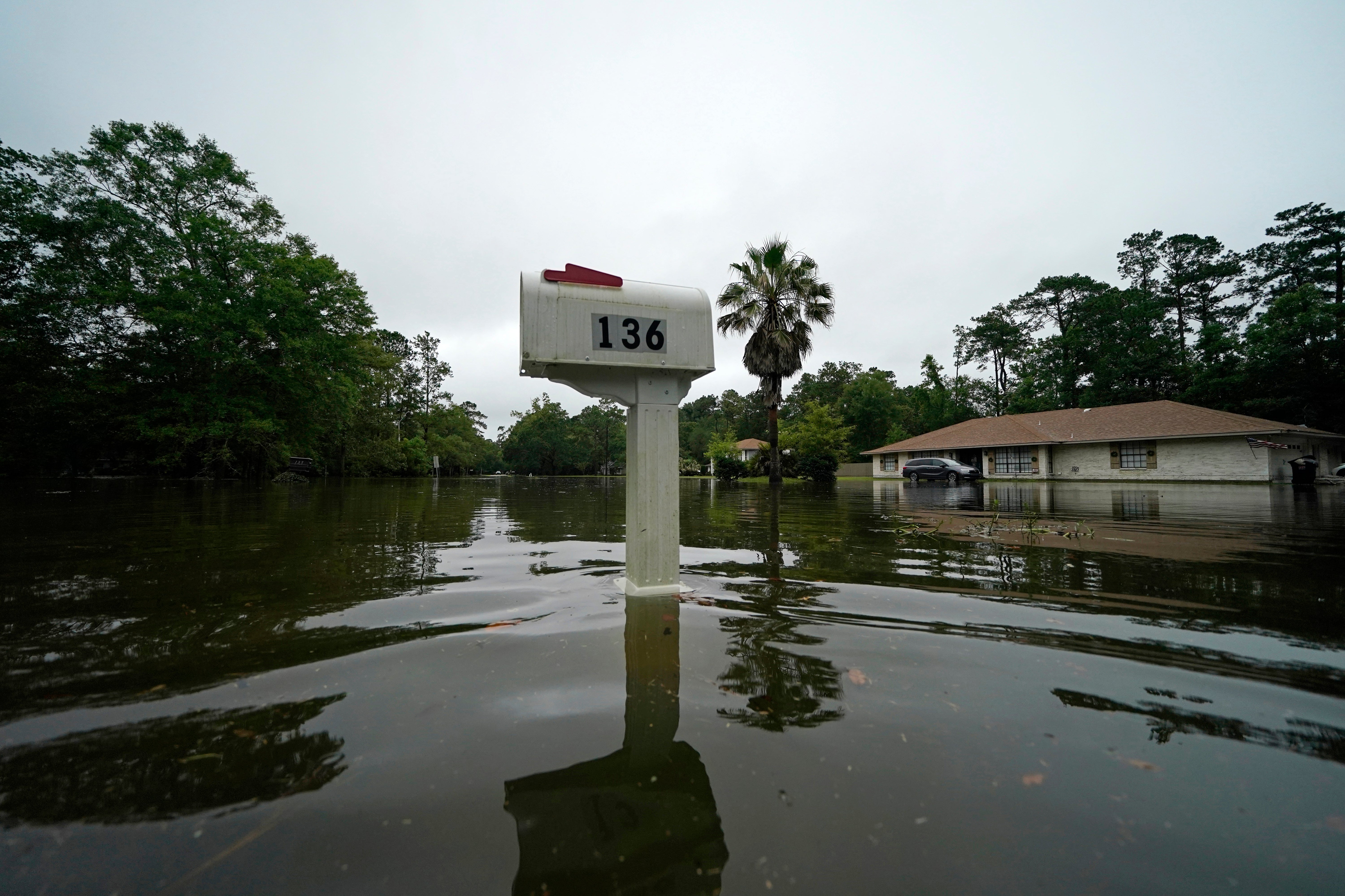
Life-threatening flash flooding rises in Claudette's path
Forecasters warned of life-threatening flash flooding in parts of the Deep South, particularly across central Alabama, as Tropical Depression Claudette traveled over coastal states

Your support helps us to tell the story
From reproductive rights to climate change to Big Tech, The Independent is on the ground when the story is developing. Whether it's investigating the financials of Elon Musk's pro-Trump PAC or producing our latest documentary, 'The A Word', which shines a light on the American women fighting for reproductive rights, we know how important it is to parse out the facts from the messaging.
At such a critical moment in US history, we need reporters on the ground. Your donation allows us to keep sending journalists to speak to both sides of the story.
The Independent is trusted by Americans across the entire political spectrum. And unlike many other quality news outlets, we choose not to lock Americans out of our reporting and analysis with paywalls. We believe quality journalism should be available to everyone, paid for by those who can afford it.
Your support makes all the difference.Forecasters warned of life-threatening flash flooding in parts of the Deep South, particularly across central Alabama as Tropical Depression Claudette traveled over coastal states early Sunday.
Heavy rain led to high water late Saturday into early Sunday in the Birmingham and Tuscaloosa metropolitan areas.
More than 20 people were rescued by boat due to flooding in Northport, Alabama, WVUA-TV reported. And, Birmingham Fire and Rescue Service Capt. Bryan Harrell told news outlets that a search was underway for a man who was possibly swept away by flooding.
Village Creek in nearby Ensley rose above flood stage to 13 feet (4 meters), the National Weather Service in Birmingham tweeted.
The rapidly changing conditions came as Claudette was expected to batter parts of Georgia and the Carolinas on Sunday.
The system was located about 45 miles (75 kilometers) west-northwest of Montgomery, Alabama, with sustained winds of 30 mph (45 kph). It was moving northeast at 14 mph (22 kph), the National Hurricane Center said in advisory Saturday night.
Claudette was declared organized enough to qualify as a named tropical storm early Saturday morning, well after the storm’s center of circulation had come ashore southwest of New Orleans
Shortly after landfall, a suspected tornado spurred by the storm demolished or badly damaged at least 50 homes in a small town in Alabama, just north of the Florida border.
Sheriff Heath Jackson in Escambia County said a suspected tornado “pretty much leveled” a mobile home park, toppled trees onto houses and ripped the roof off of a high school gym. Most of the damage was done in or near the towns of Brewton and East Brewton, about 48 miles (77 kilometers) north of Pensacola, Florida.
“It kind of affected everybody,” Jackson said. “But with those mobile homes being built so close together it can take a toll on them a lot more than it can on houses that are spread apart.”
There were no immediate reports of serious injuries or deaths.
Damage from the storm was also felt in north Florida, where winds — in some cases reaching 85 mph (137 kph) — caused an 18-wheeler to flip on its side.
The storm also dumped flooding rains north of Lake Pontchartrain in Louisiana and along the Mississippi coast, inundating streets and, in some areas, pushing water into homes. Later, the storm was drenching the Florida Panhandle and, well inland, a broad expanse of Alabama.
A tropical storm watch had been issued for parts of the North Carolina coast, which could feel the effects by Sunday night. Claudette was forecast to cross into the Atlantic Ocean on Monday, and regain tropical storm strength over open water Tuesday.
Forecasters said the system could dump 5 to 10 inches (12 to 25 centimeters) of rain in the region, with isolated accumulations of 15 inches (38 centimeters) possible.
Separately, Tropical Storm Dolores made landfall on Mexico’s west coast with near-hurricane force. As of Saturday night, it was a depression located about 140 miles (225 kilometers) north-northwest of Guadalajara, Mexico. Its maximum sustained winds were clocked at 30 mph (45 kph), and it was moving north at 21 mph (33 kph).
Heavy rainfall of 6 to 10 inches (about 15 to 25 centimeters) was expected across the southwest and western coastal areas of Mexico throughout the weekend. Forecasters were warning of the potential for flash flooding and mudslides.
___
Bynum reported from Savannah, Georgia. Associated Press reporter Kelli Kennedy in Fort Lauderdale, Florida, contributed to this report.