Is China’s Himalayan water grab escalating conflict with nations downstream?
Nearly half the world’s population depends on rivers that have their headwaters in the Himalayas. With the climate crisis increasing the risk of drought, China and India are engaged in a dangerous race to dam the mighty cascades. Brian McGleenon reports

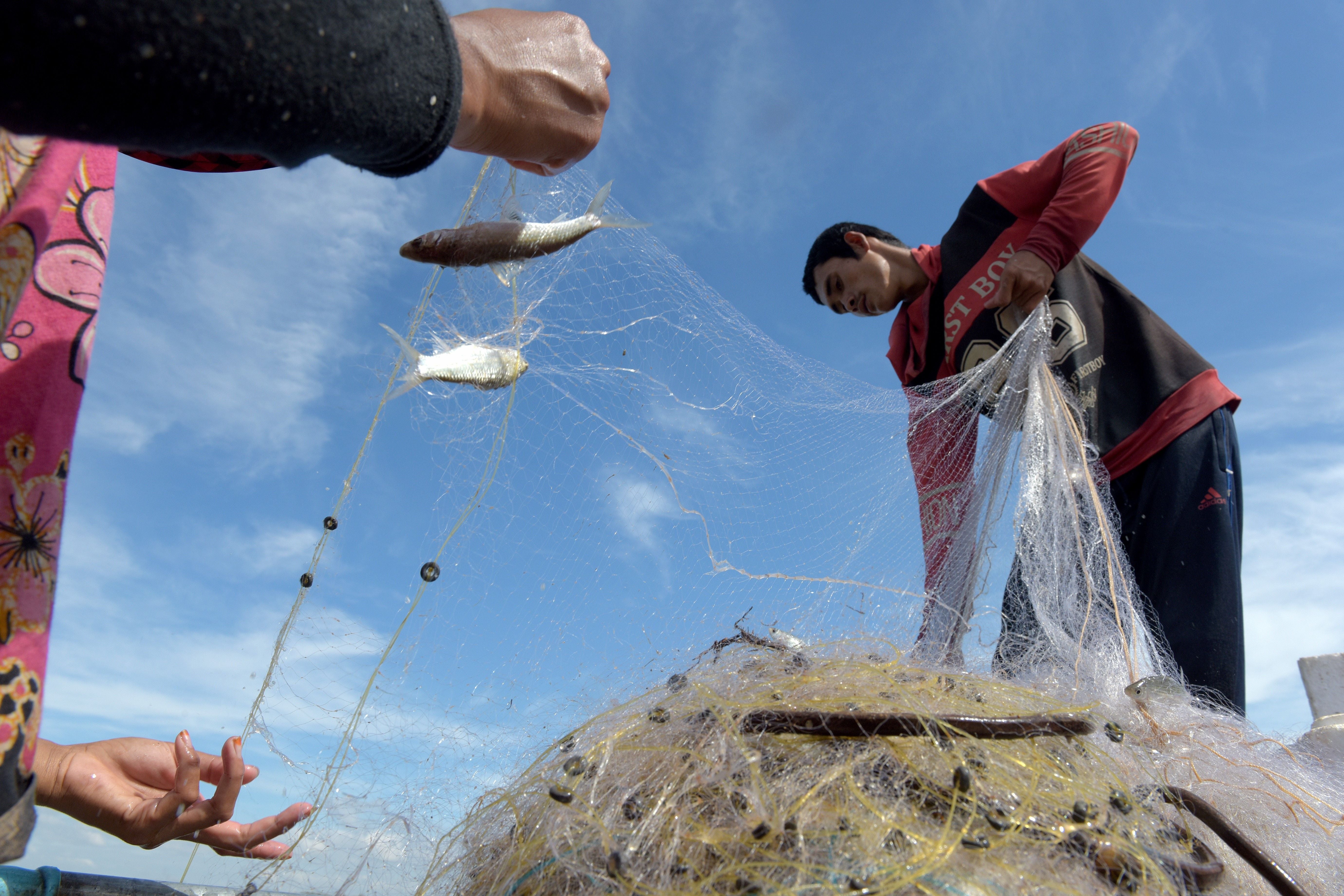
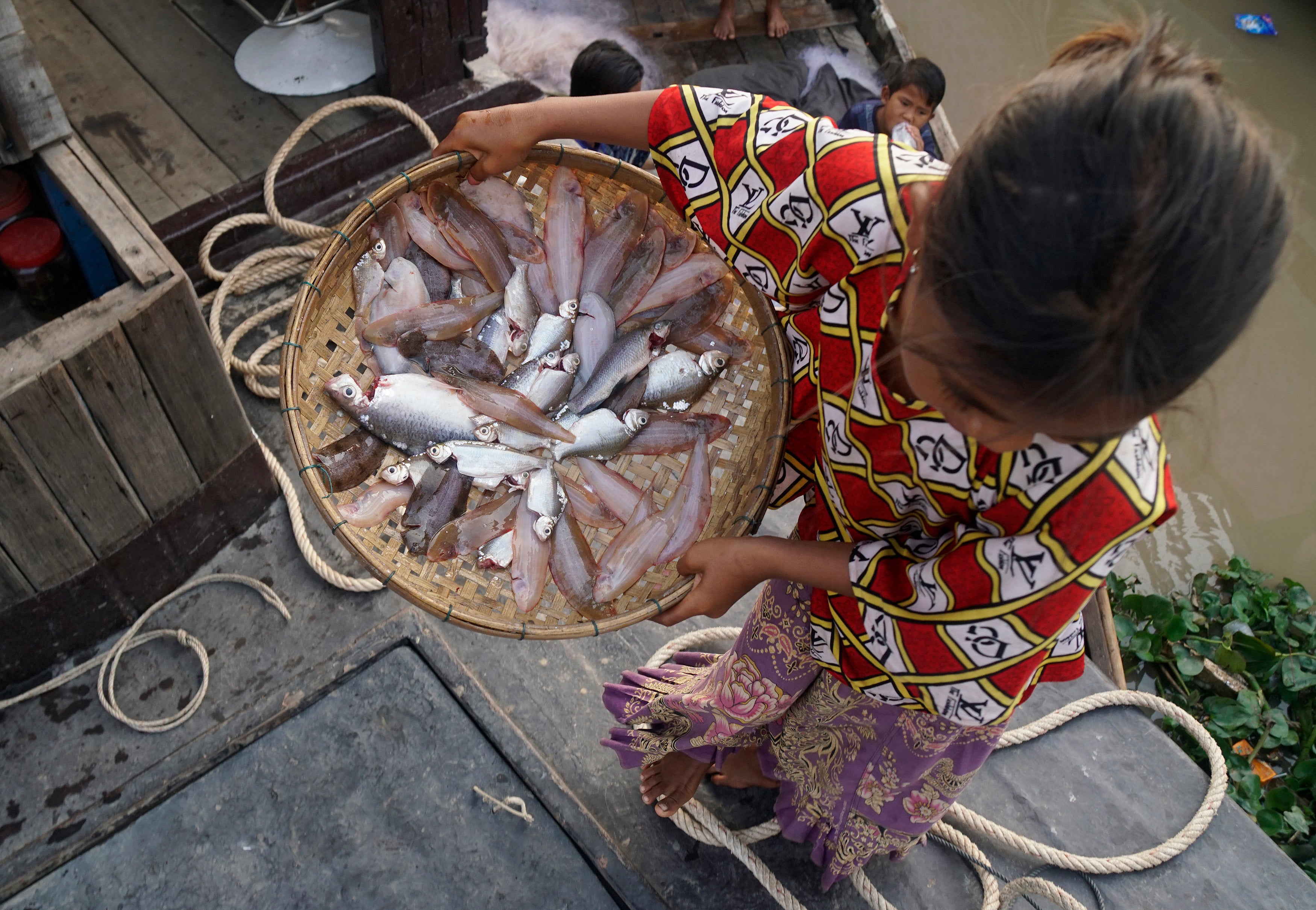
A desperate fisherman overlooks what remains of Tonle Sap Lake, the world’s largest inland fishery, and of central importance to Cambodia’s food supply. He sits in his small paddle boat beside an exposed sandbank as a news team from the South China Morning Post interviews him after the unprecedented drought of 2019. The drought dealt a devastating blow to the lake’s ecosystem, with fish catches falling by 80 to 90 per cent.
“If there is no water, we're going to starve to death,” he explains. “I worked all day and only caught 1kg of fish because the water level is so low that species cannot migrate from the river into the lake.”
Data from US research company Eyes on Earth suggest the record low-water levels of the lake are not just climate-related, but due to vast quantities of Mekong River water being restricted behind 11 mega-dams within China.
Brian Eyler, director of Stimson's Southeast Asia Programme, says Cambodian fishermen are hoping to survive by “taking on debt, assuming 2020’s catch could help pay off that debt, but then 2020 was a repeat year for low fish catches. These low-catch, high-debt cycles for fishermen have breaking points so I fear the crisis will deepen in 2021.”
However, the fisherman interviewed by the news team refused to follow the path of his neighbours into a debt trap, saying: “I'm always thinking of possible ways out. Most of my neighbours have borrowed thousands of dollars from money lenders, but I would rather paddle my old boat than owe money to someone.”
Read More:
China controls the Tibetan Plateau that contains the Himalayan-Hindu Kush ice sheet, which is the largest volume of frozen water outside of the two poles. The glacial run-off from the region feeds the largest rivers in Asia, including the Brahmaputra, Yangtze, Yellow, Ganges, Indus, and Mekong rivers. In the last two decades, extensive dam programmes have given Beijing unilateral control over this water tap that nourishes billions of people. The geopolitical importance of this melting reservoir of freshwater, known as “Asia’s water tower”, will only increase as the climate crisis warms the world and the great glaciers retreat.
In 2005, Chinese Premier Wen Jiabao warned that water shortages, especially in northern China, would threaten the “very survival of the nation”. China is in a precarious position, having more than a fifth of the world’s population but only seven per cent of its fresh water. Professor Steve Tsang, director of the China Institute at SOAS University of London, says: “China faces severe water shortages, and has and will continue to prioritise water security for itself. It means that quite a few of China’s neighbours, dependent on water from rivers with their source in Tibet, are and will continue to be affected.”
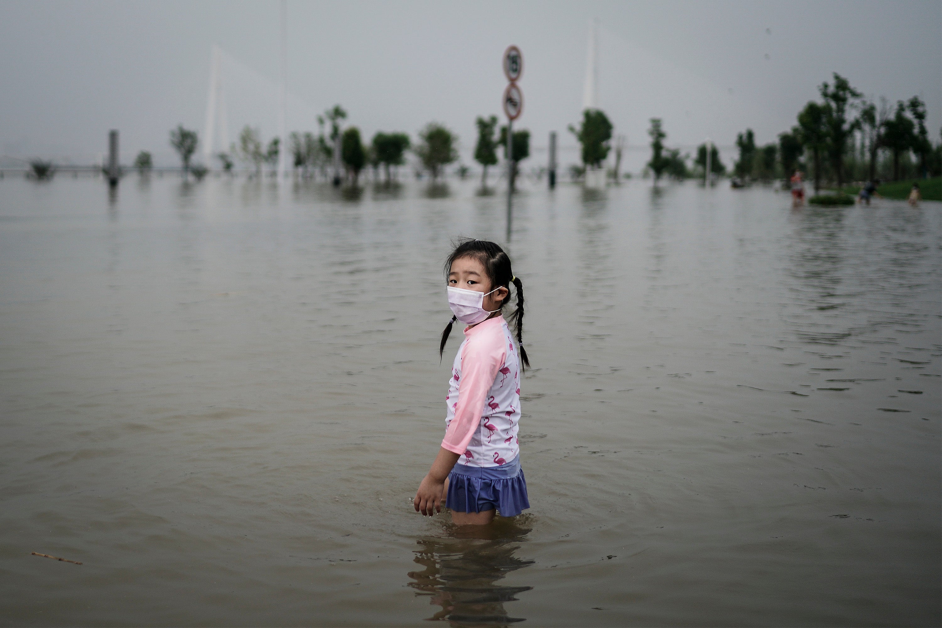
For the Politburo in Beijing, the rationale for harnessing the great Himalayan water reserves for itself is a logical one. Drought in northern China in the summer of 2020 was an omen to the accelerating superpower, that it has not yet outrun the shadow of famine. Many in the region are old enough to remember the “three years of hunger” between 1959 and 1961, where tens of millions perished.
Droughts ignite instability and large-scale internal migration, both of which the ruling Chinese Communist Party (CCP) is desperate to suppress. For China’s 1.4 billion people, the major trade-off for allowing the CCP’s absolute rule is stability and food security. Strategic water control is power in a warming world and the CCP needs this power to maintain stability, and ultimately the party’s long-term survival.
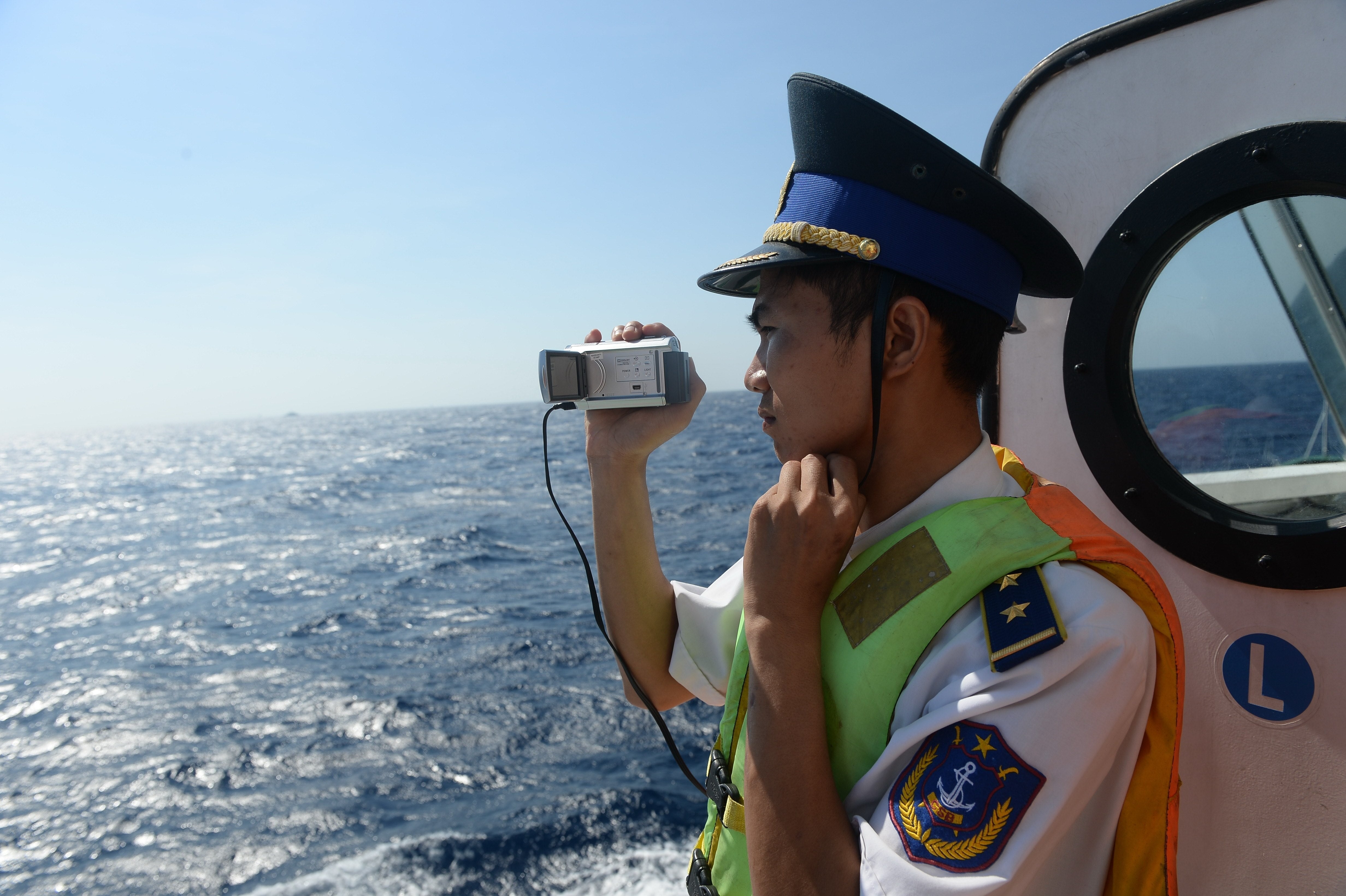
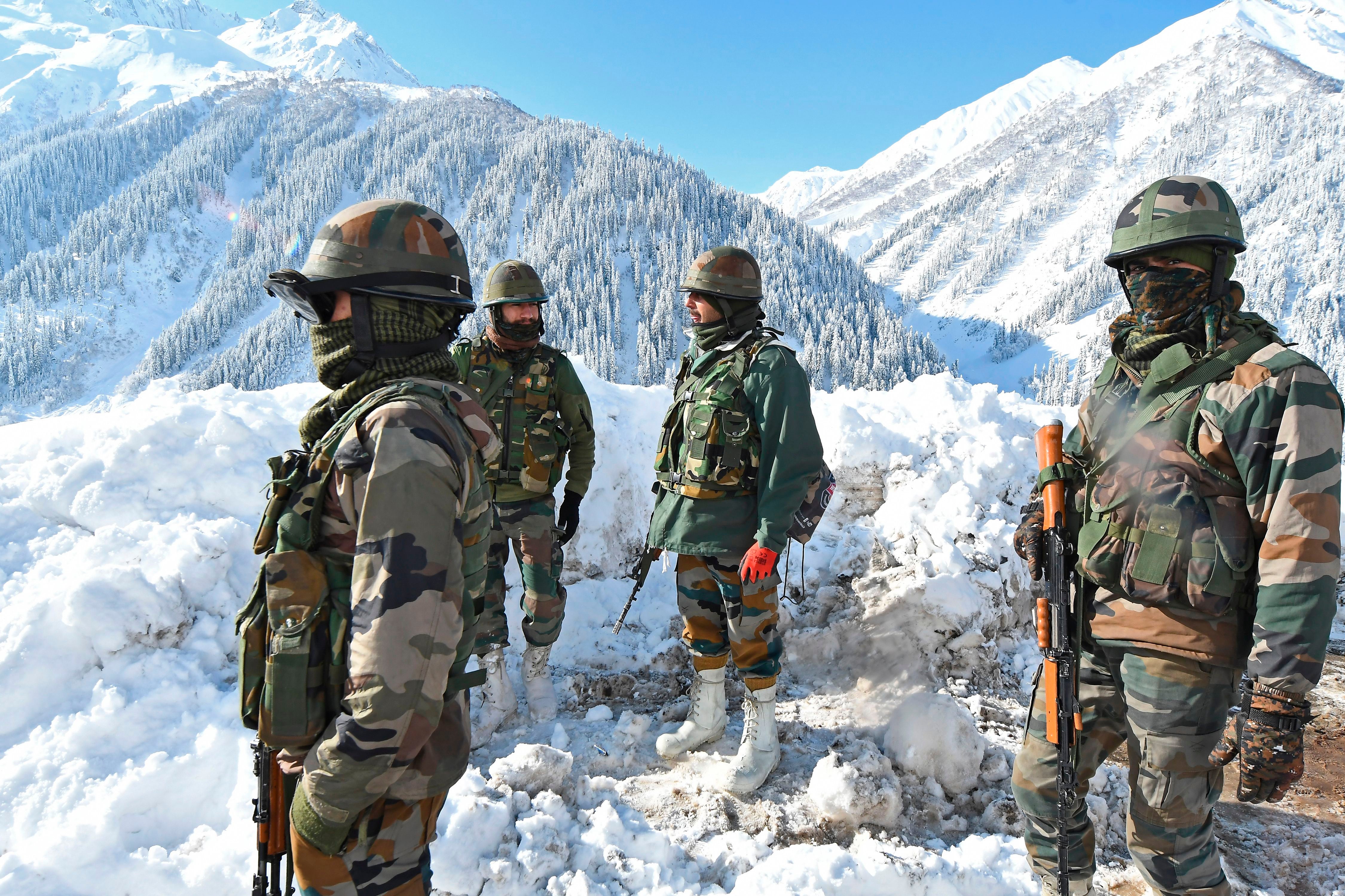
China’s dams on the nascent rivers that cascade down from the Tibetan Plateau are having a detrimental effect on the nations that are downstream. Some of these nations, such as India and Vietnam, are embroiled in ongoing disputes with Beijing. In India’s case the border conflict on the frozen heights of the Ladakh region of the Himalayas, which culminated in close combat in June 2020, saw 20 Indian casualties and an unknown number of Chinese deaths. Beijing’s dispute with Hanoi is over China’s nine-dash line that encapsulates most of the South China Sea. This claim has been met with condemnation from the international community, which says it is illegal and infringes on Vietnamese maritime territory.
These geographical contentions fuel suspicions that China could use its control of upstream water supply as leverage to gain future concessions, either implicitly or explicitly. But Elyer says: “This leverage comes as a secondary benefit; the primary objective is China generating enough hydropower from its own Mekong cascade to power a medium-sized country.”
For Vietnam, and especially India, the possibility of having your nation’s water security in the hands of your major regional competitor is an inglorious one, leading Tsang to suggest that “this is a serious issue that will only get more serious moving forward unless a regional protocol for managing and sharing water can be reached”.
Nearly half of the water flowing off the Tibetan Plateau – 48 per cent – flows into India, China’s geopolitical rival. India’s most sacred river, the Ganges, has its source at Devprayag, which is within its own borders. However, the source of its second-largest river, the Brahmaputra, is located within Chinese-controlled Tibet. The religiously significant river, known as “son of Brahma” in Sanskrit, travels for more than 1,000 miles through Chinese-controlled territory before it plunges into the Indian province of Arunachal Pradesh. Beijing plans to build five dams on the upper reaches of the Brahmaputra, known as the Yarlung Tsangpo in China. Recently, a mega-dam has been proposed at a location 18 miles away from the contentious border with Indian. When built, this ambitious project will become the world’s largest dam, placing China’s Three Gorges Dam on the Yangtze River in second place.
Following the announcement of the mega-dam, some regional observers warned Beijing could use the dam to block and divert some of the rivers flow into China’s drying northern regions. Doctor Brian Finlayson of the University of Melbourne says: “There have been serious discussions about transferring water from the Brahmaputra before it leaves Chinese territory to flow into Bangladesh, and pipe it around the edge of the Tibetan Plateau to flow into arid Xinjiang to provide water for irrigation.”
This was also corroborated by Professor Mark Yaolin Wang, director of the centre for contemporary Chinese studies at the University of Melbourne, who described a major infrastructure scheme called the Red Flag River Project. This project proposes to take huge volumes from rivers such as the Brahmaputra and divert water northwards into Xinjiang, and into the middle reaches of the Yellow River Basin. Wang says that “if this proposal is approved by the Chinese authorities, it will have a huge impact on China and southeast Asian countries”.
He added that the ecological consequences of such a scheme would be huge, “but so far I have not seen any meaningful ecological-environmental impact assessment connected to the scheme.”
Since December 2017, Chinese official media such as Xinhua and Renmin have reported that there is an on-going study considering the feasibility of the Red Flag River Project. Since the announcement of this privately funded, “semi-official” concept, the Indian news media has also covered it. However, the Indian coverage has amplified the immediacy of the threat, stating that the project has been green-lighted by the Chinese Politburo and is a significant water security concern for India. The Chinese leadership has in fact never given explicit recognition to the scheme. At a Beijing news conference in 2017, Chinese foreign ministry spokeswoman Hua Chunying denied that the scheme had achieved central government approval.
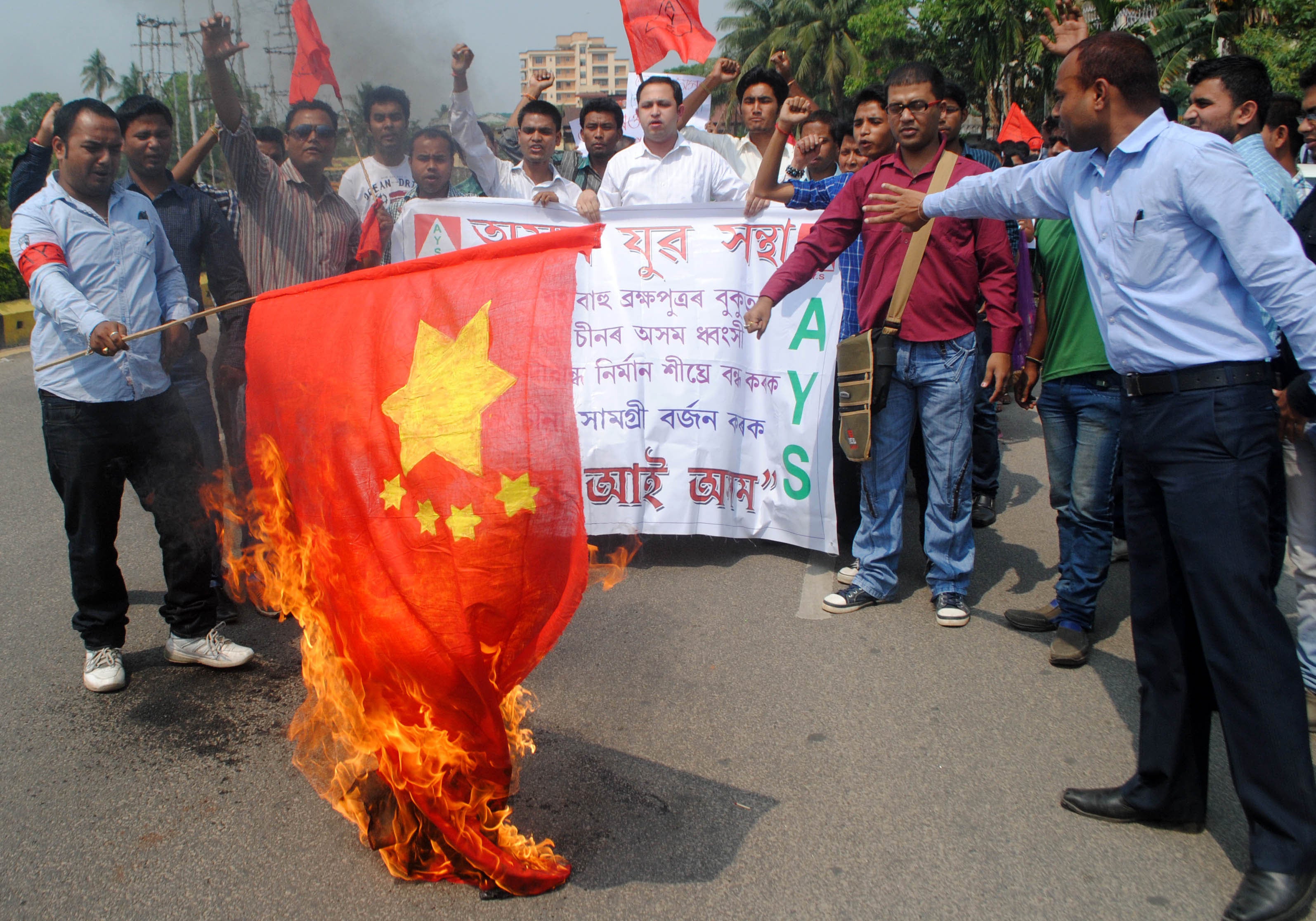
Chinese academics have disputed the viability of the Red Flag River Project. They point to the expense of constructing “long canals and deep tunnels that would be needed to carry the water northwards” and that discharge from the river sources in the Himalayas is “highly seasonal”. However, Wang believes “discussions concerning the Red Flag River Project are real, although it has not been listed as an official project by the Chinese authorities, and all the proposal discussion and feasibility studies have been done by a semi-official group.” He still maintains there are ongoing “real” feasibility studies, and added, “this is not a rumour, although I wish it were.”
In large areas of northern China, there is not enough water to meet the demand, which has led authorities to develop schemes to transfer water from southern China to the arid north. One such scheme is the South-North Water Transfer Project, a canal system that diverts water from the Yangtze in the south to the Yellow River in the north. But, it is a temporary solution to a deteriorating problem, as the volume of water in the Yangtze is also declining, mostly due to decreased precipitation. To not act immediately would lead to a catastrophe in the not too distant future, adding weight to concerns Beijing could begin “borrowing” some of the headwaters of the Brahmaputra and divert them towards the Yellow River.
Tsang says: “The water shortage problem in China is severe, particularly in northern China. The Yellow River is in a dire state, and the diversion of water from the Yangtze River to the Yellow River may well have severe implications for the Yangtze in the long run, but the situation in northern China is so serious that Beijing did it anyway. The same pattern will apply to the other rivers that have their sources in Tibet.”
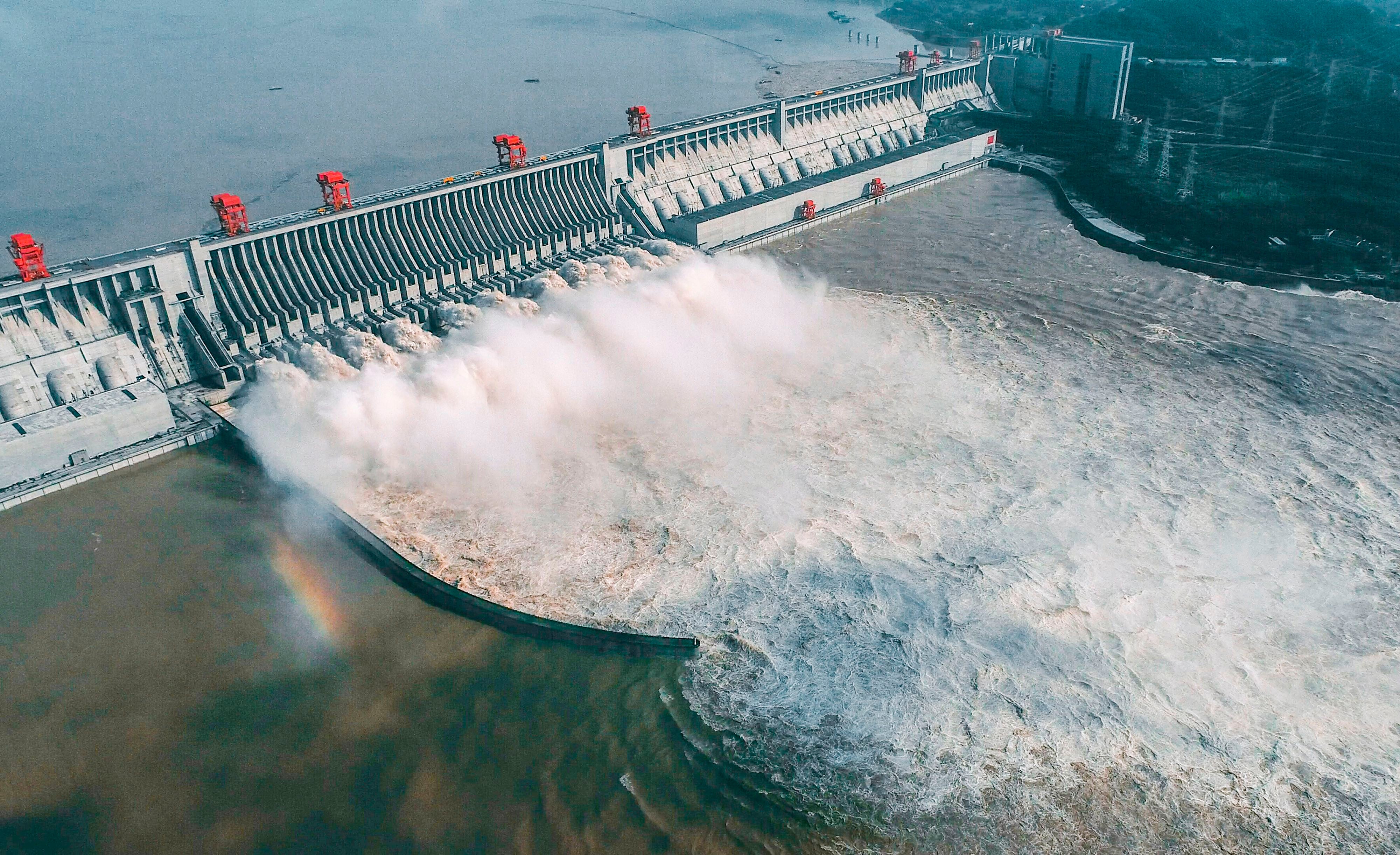
Another such river, with its headwaters in Tibet, is the once-mighty Mekong that provides the fish and waters the agriculture of 60 million inhabitants of south-east Asia. India’s Brahmaputra River could suffer the same fate as the Mekong, which has been crippled by dams on its tributaries and along its 3,000-mile length.
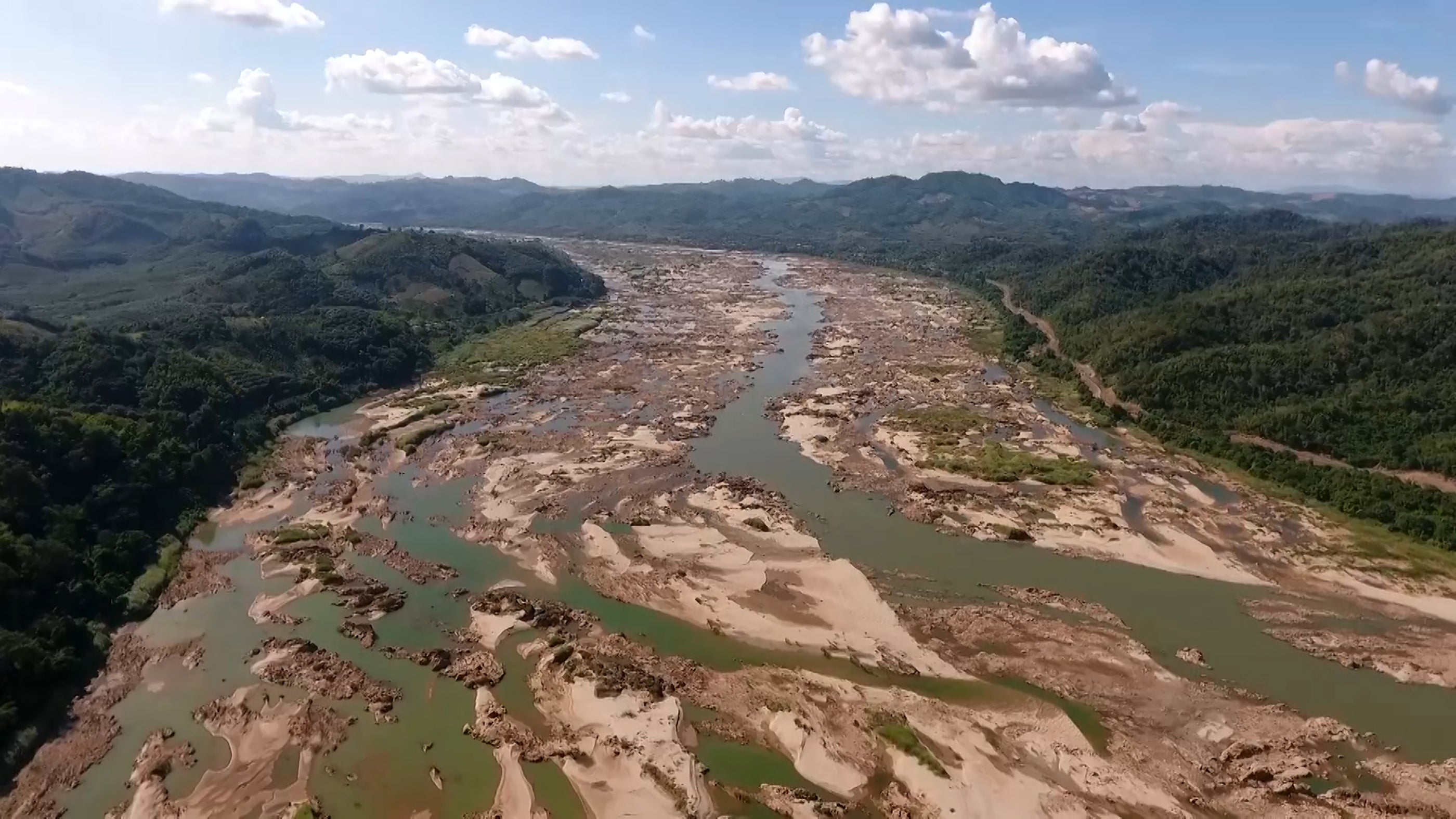
The Mekong’s source is high in the Tibetan Plateau at Mount Guozongmucha. It then makes its turbulent way east and down into China’s Yunnan province, a region that saw its worst seasonal drought on record in the spring of 2019. In the same months of 2019, Eyes on Earth found evidence that Chinese authorities were holding back a vast volume of Mekong water, leading downstream nations to report the lower stretches of the river at its lowest level for 50 years.
In Laos, Cambodia, and Thailand, the river receded severely to become three metres lower than it should have been under natural conditions. This has caused lasting damage to the livelihoods of farmers and fishermen, and to the ecological health of the region, as dams decrease the flow of nutrients and restrict the movements of migrating fish.
Eyes on Earth satellite data of Mekong levels within China were compared with daily river height gauge data on the Thai side of the border, leading researchers to discover that 126.4 metres of cumulative river height were missing. This led the president of Eyes on Earth, Alan Basist, to announce: “If the Chinese are stating that they were not contributing to the drought, the data does not support that position.” The increasing pattern of uneven and diminished precipitation in Yunnan has led to rivers being cut off, and reservoirs and irrigation wells drying up. Chinese water engineers have now initiated projects designed to alleviate drought in the province. Considering the severity of the conditions that year, it is plausible that China diverted some of the Mekong water to nourish its own parched agriculture.
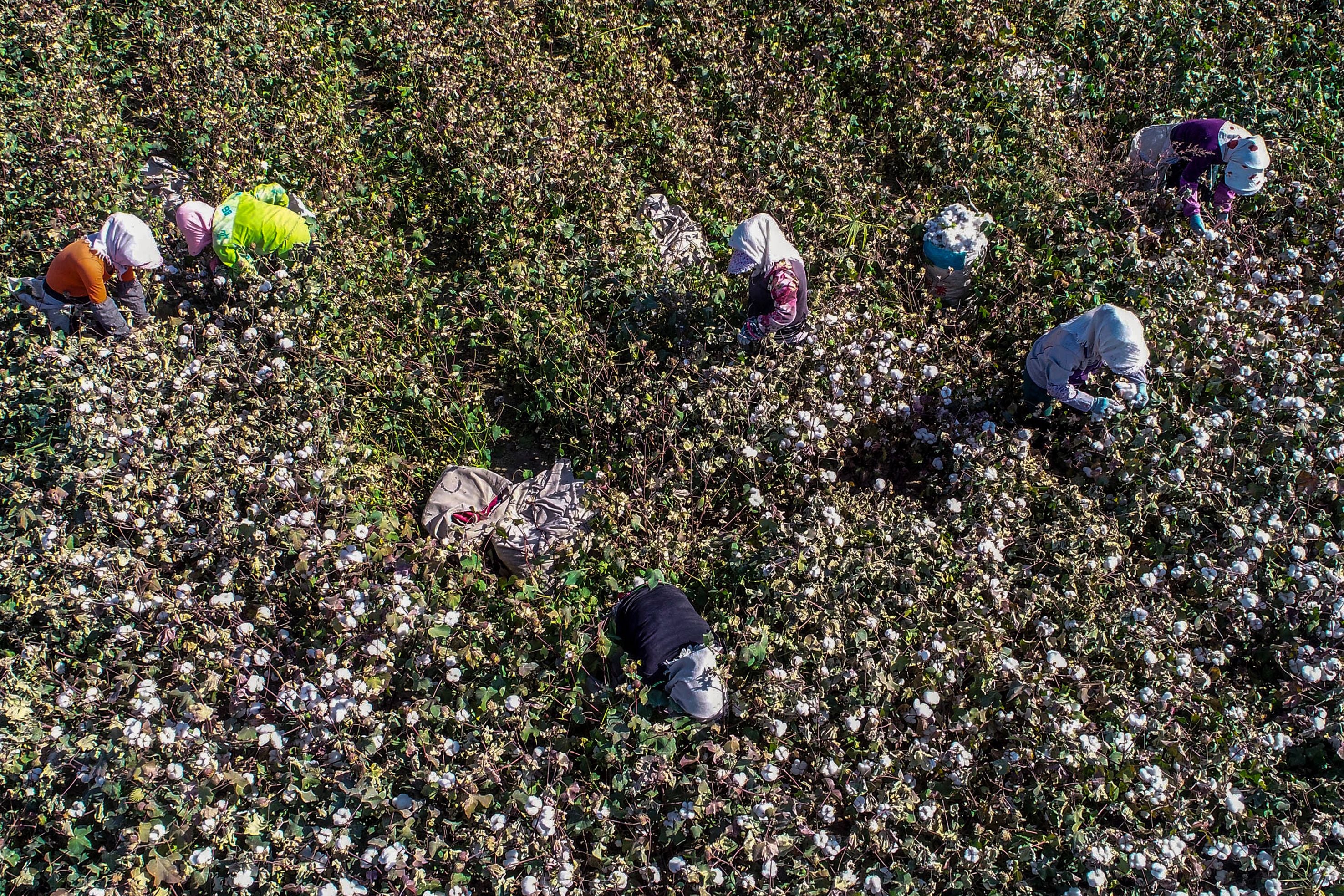
Eyler says: “Eyes on Earth’s natural flow models show more water missing than what China’s reservoirs can hold, so we think some water is being used for other purposes. We’re still investigating this however and have no definitive results.” Eyler claims water diversion out of the Mekong’s headwaters, on the same scale as that seen between the Yangtze and Yellow rivers, is “less likely given Yunnan's steep 1,000 metre canyons.” He says dams for hydropower production are the real problem. “As more dams are built in China, operating China’s Mekong cascade will only lead to higher restrictions year on year during the traditional wet season when water is needed to keep the Mekong mighty downstream.”
China’s ministry of foreign affairs released an official statement to counter the claims of Eyes on Earth, saying: “The explanation that China’s dam-building on the Lancang River (Mekong) is causing downstream droughts is unreasonable.” The ministry then said that despite the drought “China has continued to do its utmost to guarantee reasonable discharge volumes.” However, Elyer said this view is inconsistent with the data from the Eyes on Earth study, saying: “Either Beijing is lying or their dam operators are lying to them. Somewhere, someone isn’t telling the truth.”
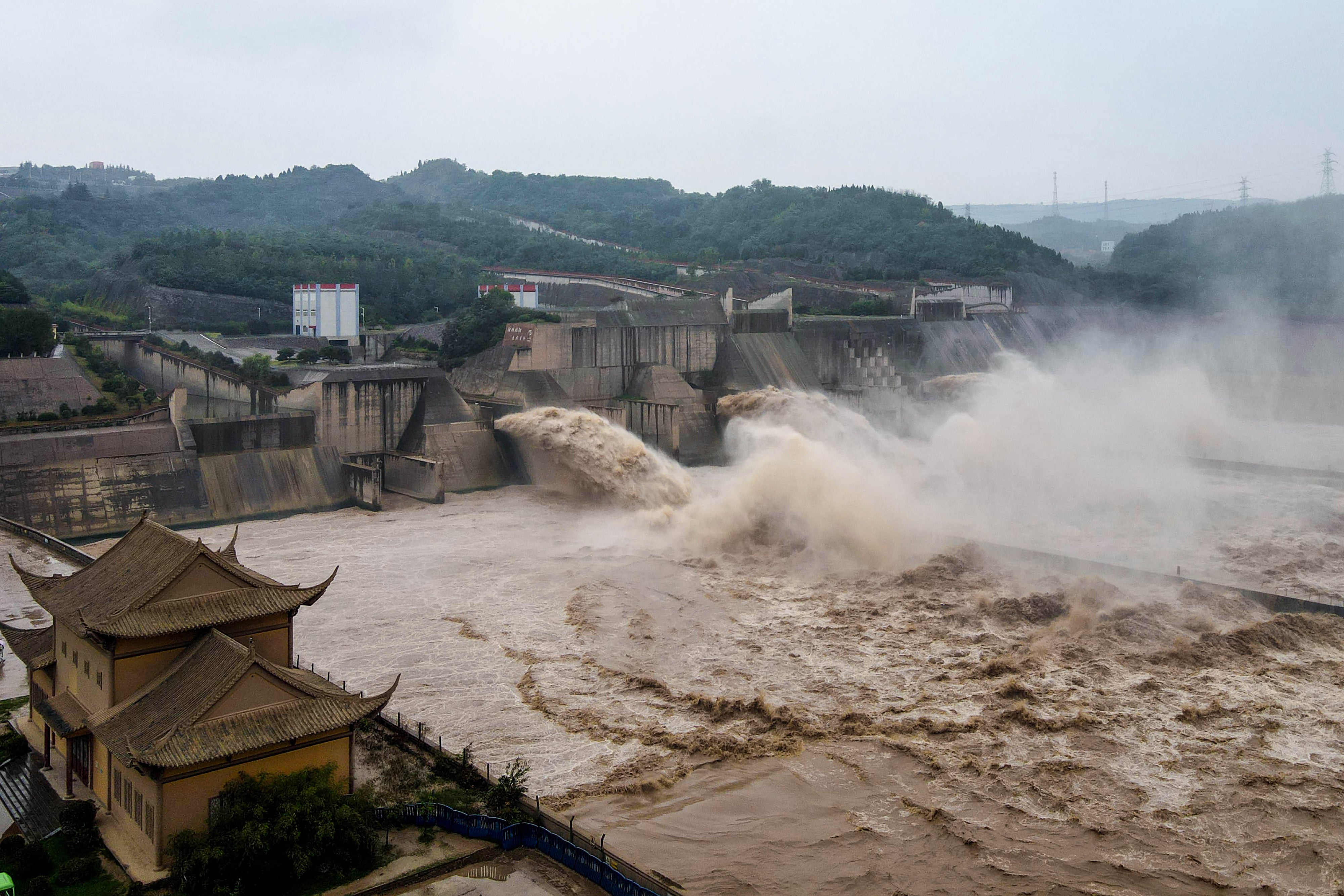
In a progressive step, China has recently started to share river level data with downstream nations and the Mekong River commission, an inter-governmental organisation tasked with coordinating the sustainable management of the river. Eyler explained the importance of timely communication of this data, because “a sudden release of water” from one of China’s dams can take about 48 hours to show up along the Thailand-Lao border. People living near the Mekong need time to remove boats and livestock from the river’s edge so they are not washed away. However, he explains that “China’s notifications have been either late or non-existent”, so more frequent and consistent communication of data is needed.
China has built a total of 11 dams on the upper reaches of the Mekong. To give an estimate of the amount of water currently restricted behind these dams, the Stimson Centre said they “collectively store as much water as the Chesapeake Bay”, which is the largest estuary in the United States. One of these gargantuan structures, the massive Jinghong Dam, the closest to the border with Thailand, causes sudden fluctuations in Mekong River levels when it discharges volumes of water. Eyler warned that the dam should not “shock the river in the manner it currently does”. He added that this is devastating for fisheries and the ecological processes of the river.
Chinese engineers are considering the limited alternatives to implementing costly infrastructure projects to divert volumes of water from international rivers to solve the drying conditions in the north of the country. China has invested billions of dollars in the use of underground pipes and surface plastic pipes to significantly reduce seepage loss when groundwater is delivered to the fields in northern regions. The government is also investing in installing meters on wells and adding equipment to measure the volume of water along canals. There are also plans for water pricing reform, where farmers would be given quotas for water use; if they exceed their quota they would have to pay a higher water rate.
Conversely, there would be plans for reduced rates for those farmers that reduce their water consumption. However, Professor Qiuqiong Huang of the University of Arkansas says: “Chinese villages have abandoned water pricing reform because it was too costly to calculate the water quota and monitor water use.”
China is not the only country in the region to embark on a fast-track dam-building programme to harness hydropower and ensure water security. India is also actively competing in this “water grab” in the Himalayas. India has built 900 dams and barrages along the course of its most sacred river, the Ganges. Dam building in India has displaced between 16 million and 40 million people since the nation gained independence from Britain in 1947.
Country’s like Laos and Cambodia have built and plan to build more Mekong dams that will in turn cripple the very river that nourishes their agriculture. On top of this the loans given to facilitate these projects by the World Bank, private finance, and more recently the China Development Bank under Xi Jinping’s Belt and Road Initiative, could see these nations spiral further into debt traps.
Bruce Shoemaker, author of Dead in the Water: Global Lessons from the World Bank's Model Hydropower Project in Laos, says: “Laos for instance is on the verge of a huge debt trap. The nation has taken on a massive debt load for dam building and the construction of a Chinese-funded, high-speed railway line. But, these governments are happy to sign off on environmentally destructive mega construction projects with repayment being pushed back over decades.”
Laos owes China $5.9 billion, comprising nearly half of the nation’s total public debt. This is in Belt and Road Initiative infrastructure loans for the Vientiane-Boten high-speed rail project and for Chinese-funded hydropower dams along the Mekong and its tributaries.
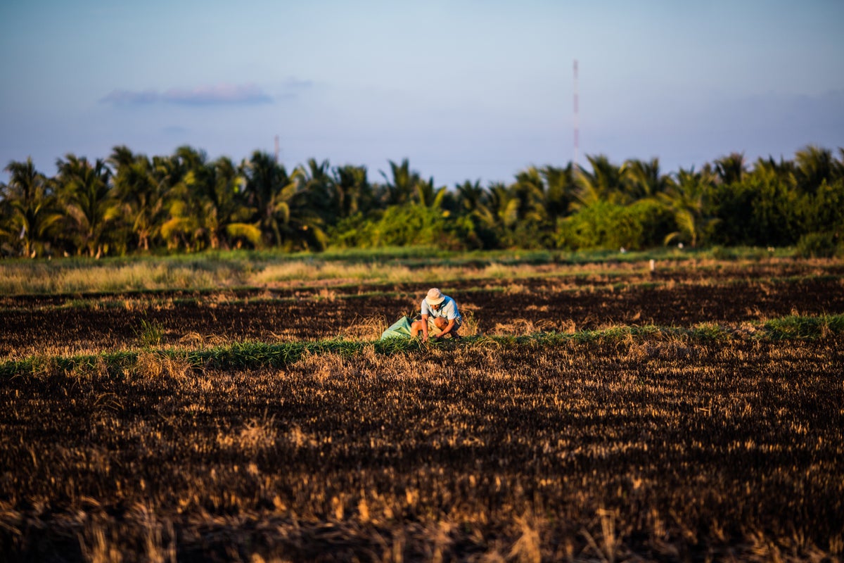
Companies from Thailand are planning the construction of four times the number of dams along the Mekong than those from China, despite the damage to the nation’s fishing industry and fragile ecology. Both Laos and Thailand already overproduce electricity and more dams for hydropower are only going to benefit profit-seeking construction companies and private-finance firms, “a not-so-fun fact, that is often underplayed in the media,” says Eyler. He describes how each of these dams disconnects the Mekong River, with the delta region in Vietnam most vulnerable. In Vietnam, where the Mekong eventually flows into the South China Sea, the annual floods of the river flush out the toxic soils on the delta, “making it agriculturally productive and replenishing the land with nutritious sediment which in turn drives agricultural production”.
Eyler describes how freshwater from the Mekong pushes back on the salinity intrusion from the sea, “and when more freshwater is present, local farmers extract less water from underground aquifers”.
In 2019 an Intergovernmental Panel on Climate Change report warned that the glaciers in the Himalayas “are receding faster than in any other part of the world and, if the present rate continues, the likelihood of them disappearing by the year 2035 and perhaps sooner is very high if the earth keeps getting warmer at the current rate”. This stark statement is corroborated by climate models that forecast major rivers running off the Tibetan Plateau, after a brief period of increased flow as glaciers melt, could lose between 10-20 per cent of their volume by 2050.
China is especially vulnerable to the decreased watershed from the Himalayas. If water levels begin to drop significantly and Chinese agriculture suffers the nation will be forced to import vast amounts of food to feed its population of 1.4 billion. This would in turn drive up world food prices and create social unrest, especially within nations where food security is already precarious. Food security drives political change and reactionary responses from authoritarian regimes. In the vacuum created by regime change, terrorist organisations fester, as was evident during the Arab Spring.
Read More:
It is in the world’s best interest that China is able to manage its water security going forward into a new era of climate crisis. However, China’s unparalleled ability to master the course of water must be balanced by a renewed effort to negotiate with its neighbours and share the freshwater bounty under its command. As the Earth’s population rises from 6 billion to 9 billion in a warming world, water will soon surpass oil as society’s scarcest and most important commodity. New conflicts will break out over water security unless international agreements are robust, and one major fault line will be the Tibetan Plateau and the nuclear-armed states that surround it.
Join our commenting forum
Join thought-provoking conversations, follow other Independent readers and see their replies
Comments