Storm Ciarán tracker: When and where 90mph winds will hit this week
Some areas of the UK will face wind speeds of up to 90mph as Storm Ciarán hits
Your support helps us to tell the story
From reproductive rights to climate change to Big Tech, The Independent is on the ground when the story is developing. Whether it's investigating the financials of Elon Musk's pro-Trump PAC or producing our latest documentary, 'The A Word', which shines a light on the American women fighting for reproductive rights, we know how important it is to parse out the facts from the messaging.
At such a critical moment in US history, we need reporters on the ground. Your donation allows us to keep sending journalists to speak to both sides of the story.
The Independent is trusted by Americans across the entire political spectrum. And unlike many other quality news outlets, we choose not to lock Americans out of our reporting and analysis with paywalls. We believe quality journalism should be available to everyone, paid for by those who can afford it.
Your support makes all the difference.The Met Office has warned of “strong winds and heavy rain” this week as Storm Ciarán is set to hit the UK.
A staggering 72 flood warnings have been issued across England and a further 172 flood alerts, while Scotland has been isued with 18 flood warnings and 11 flood alerts.
The third named storm of this year’s season comes after areas across Scotland and north-east England were battered with the worst of Storm Babet, which caused serious damage and several deaths when it hit last week.
Met office Deputy Chief Meteorologist, Chris Almond, said: “Heavy and persistent rain will fall onto already saturated ground bringing a risk of further impacts such as flooding in areas that are already struggling to clean up from the heavy rainfall we have seen over the last week or so.”


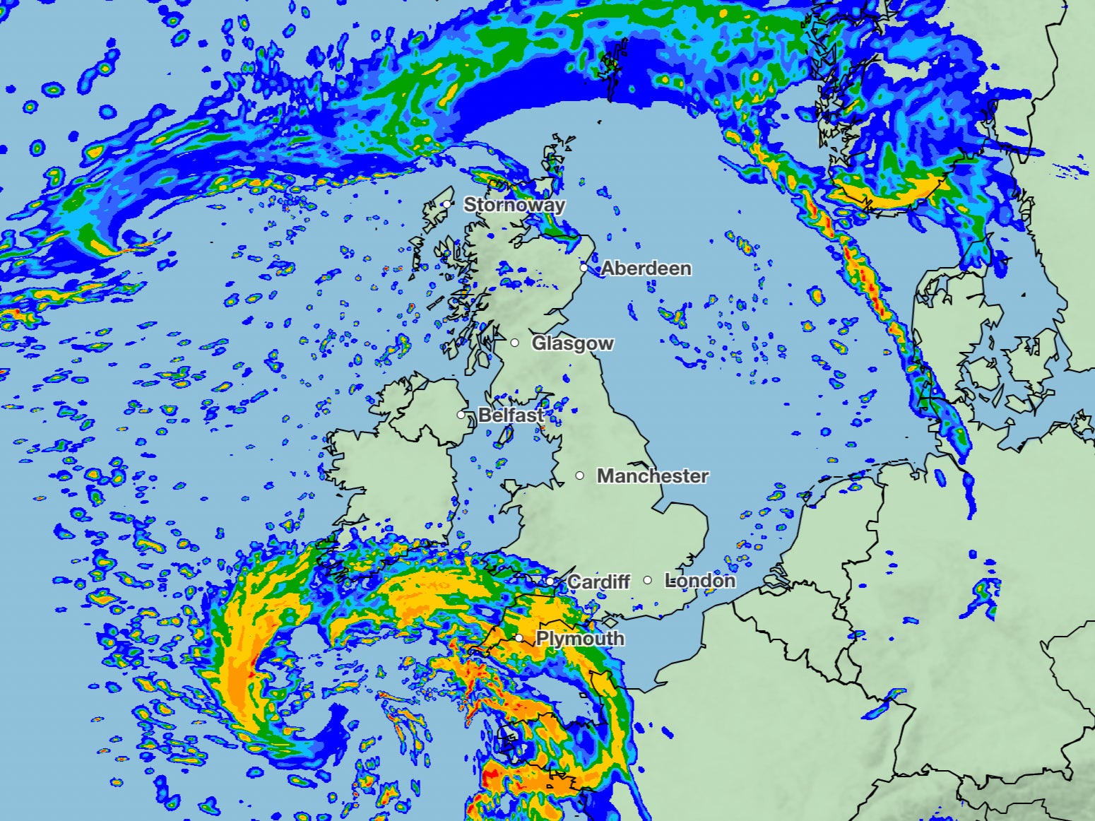
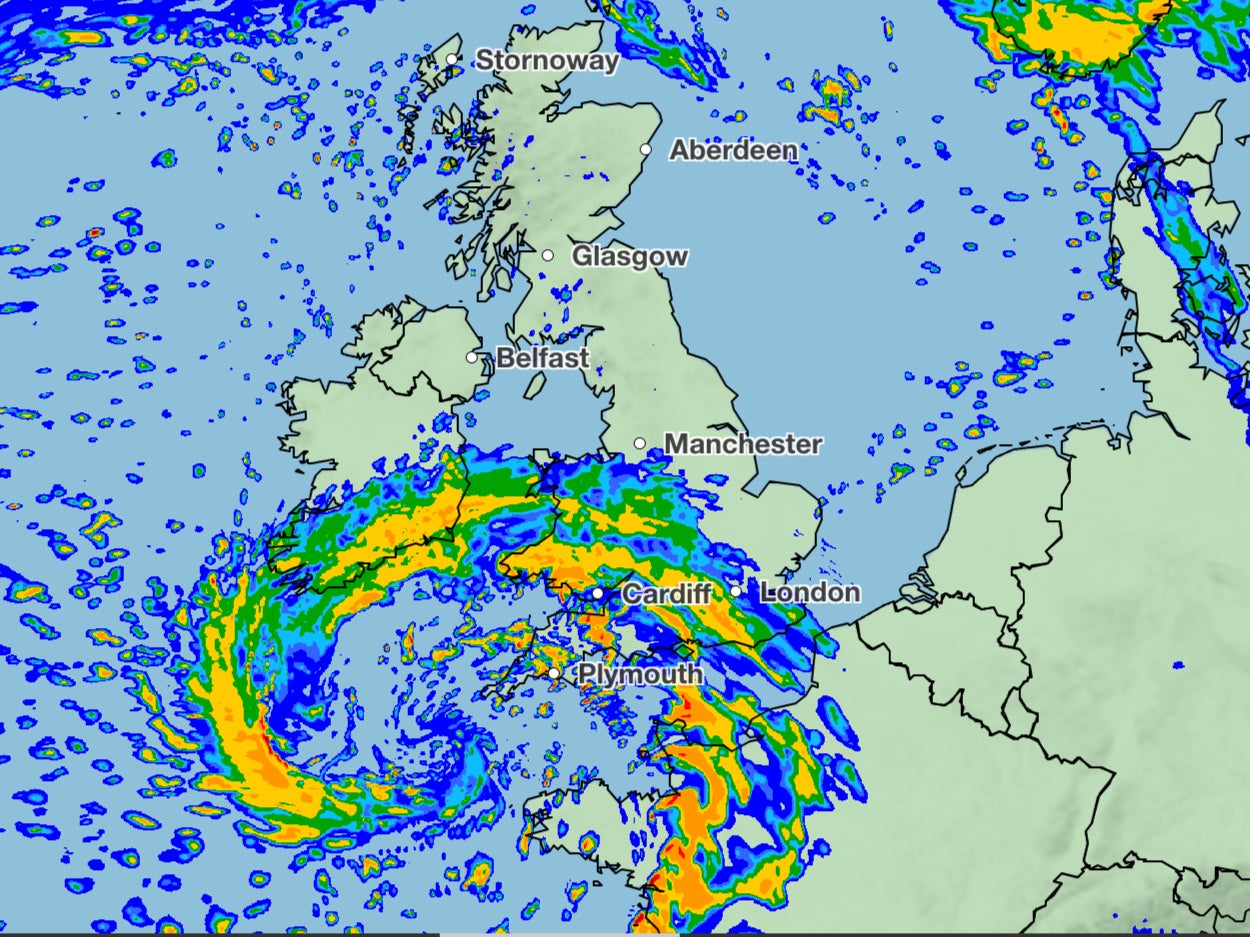
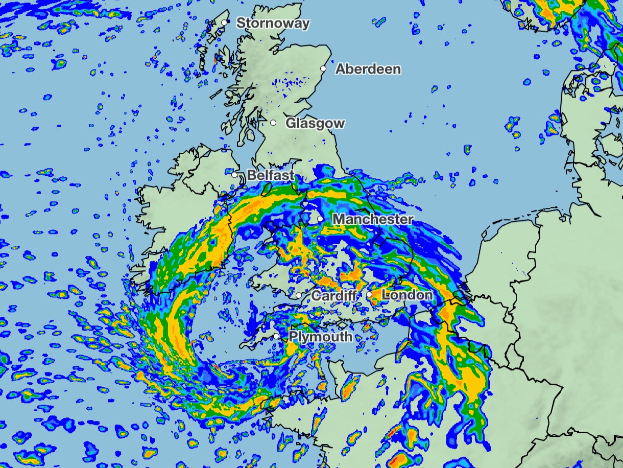
Storm Ciaran is set to arrive in Britain on Wednesday night, as strong winds carried by the jet stream will cross the Atlantic. Britons will see its full effects on Thursday, with up to 60mm of rainfall expected in some areas.
Ciarán is due to bring gusts of 80mph winds to areas along the south coast of England, with a small risk of some more exposed areas seeing wind speeds of up to 90mph.

The exact path of the storm is unclear but the Met Office say southern England and Wales will primarily be affected. Forecasters added that the coming week will continue to bring unsettling weather for “much of the UK”. Four yellow weather warnings are in place on Monday for both wind and rain across Wales, London and southeastern England.
The Met Office warns that there is a chance of power cuts and flooding in the region. Amber weather warnings are in place across the whole of the UK meaning there is an increased likelihood of impacts from severe weather.

Join our commenting forum
Join thought-provoking conversations, follow other Independent readers and see their replies
Comments