Antarctic ice sheets thinning faster than ever before, satellite data reveals
Complete loss of frozen plateau would result in sea levels rising by up to 5m

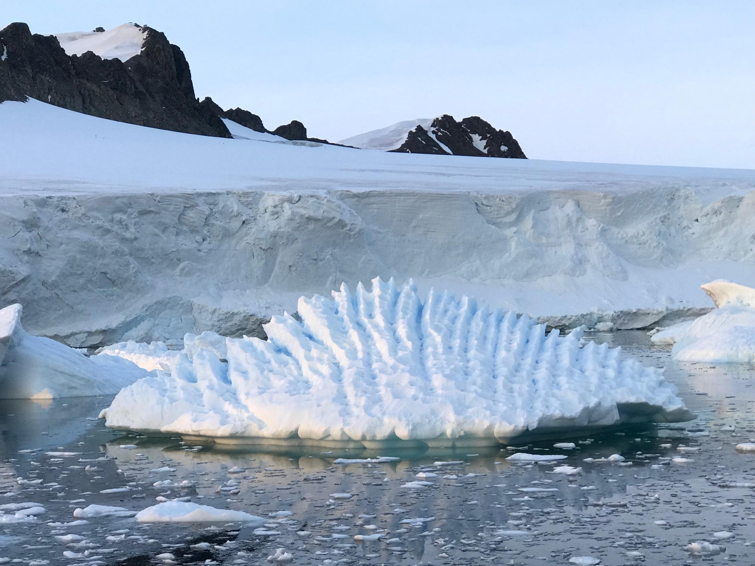
One-quarter of the west Antarctic ice sheet is now unstable, according to a new study that looked at 25 years of satellite data.
Some of the largest glaciers have thinned by more than 120m with ice melting at up to five times the rate it was in the 1990s.
As the climate warms, rising sea levels form one of the most significant threats facing humanity. The complete loss of the west Antarctic ice sheet would result in global sea levels rising by up to 5m, scientists say.
“We can see clearly now that a wave of thinning has spread rapidly across some of Antarctica’s most vulnerable glaciers, and their losses are driving up sea levels around the planet,” said lead author Andy Shepherd from the University of Leeds.
“Altogether, ice losses from east and west Antarctica have contributed 4.6mm to global sea level rise since 1992.”

Scientists describe an area as “unstable” when ice melts at a faster rate than it is replenished by snowfall, according to the paper published in the journal Geophysical Letters.
Scientists from the UK Centre for Polar Observation and Modelling used European Space Agency satellite data to track changes in snow and ice cover across the continent. They made more than 800 million measurements in total.
This detailed research meant they could work out which changes were due to weather patterns and which were as a result of longer term climate change, such as increasing ocean temperatures that eat away ice.
Fluctuations in snowfall tend to drive small changes in height but the most pronounced changes in ice thickness are signals of glacier imbalance that have persisted for decades, scientists found.
Professor Shepherd said: “Knowing how much snow has fallen has really helped us to detect the underlying change in glacier ice within the satellite record.”
Some estimates suggest the number of people directly affected by sea level rise could run into the hundreds of millions by the end of the century.
Dr Marcus Engdahl of the European Space Agency, a co-author of the study, added: “This is an important demonstration of how satellite missions can help us to understand how our planet is changing.
“The polar regions are hostile environments and are extremely difficult to access from the ground. Because of this, the view from space is an essential tool for tracking the effects of climate change.”
Join our commenting forum
Join thought-provoking conversations, follow other Independent readers and see their replies
Comments