UK weather: Thunderstorm warning issued by Met Office as heavy rain to fall after four-day heatwave
The alert will be implemented just six hours after an amber extreme heat warning ends on Sunday
Your support helps us to tell the story
From reproductive rights to climate change to Big Tech, The Independent is on the ground when the story is developing. Whether it's investigating the financials of Elon Musk's pro-Trump PAC or producing our latest documentary, 'The A Word', which shines a light on the American women fighting for reproductive rights, we know how important it is to parse out the facts from the messaging.
At such a critical moment in US history, we need reporters on the ground. Your donation allows us to keep sending journalists to speak to both sides of the story.
The Independent is trusted by Americans across the entire political spectrum. And unlike many other quality news outlets, we choose not to lock Americans out of our reporting and analysis with paywalls. We believe quality journalism should be available to everyone, paid for by those who can afford it.
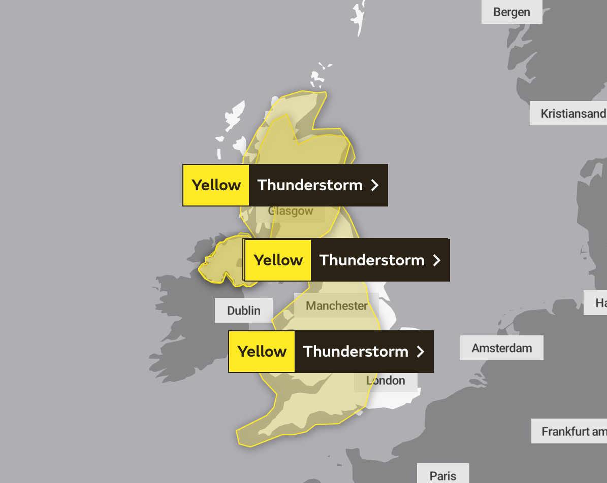
Your support makes all the difference.The Met Office has issued a warning for thunderstorms and heavy showers across swathes of the UK on Monday in the wake of the heatwave currently scorching the country after months of low rainfall.
The weather warning, issued on Friday morning, will cover much of the UK - bar some areas along the east coast - and will run from 6am to 11.59pm.
Forecasters have warned there is a risk homes and businesses could be flooded, with damage to some buildings from floodwater, lightning strikes, hail or strong winds on the cards.

Where flooding or lightning strikes occur, there is a chance of delays and some cancellations to train and bus services, the Met Office has said, while spray and sudden flooding could lead to difficult driving conditions and some road closures.
In addition, there is a slight chance that power cuts could occur and other services to some homes and businesses could be lost

Once the thunderstorms have passed through the country next week, Britons can expect a “change in weather type”, with much of the country in cooler air – hailing the end to the high temperatures and humidty that have dominated our climate of late, a spokesperson for the Met Office said.
Nicola Maxsey told The Independent that temperatures are likely to return to normal for the time of year, and by Wednesday much of the south can can expect highs in the mid-twenties, and in the lower twenties further north.
Next week’s weather warning will be implemented just six hours after an amber extreme heat warning, which came into force today, ends on Sunday at 11.59pm.

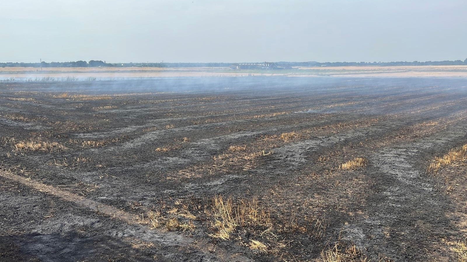
The heat alert issued by the Met Office officials covers much of the southern half of England as well as parts of eastern Wales, highlighting the potential impacts these levels of heat can have on health, transport and infrastructure.
Temperatures rose rapidly this morning under the strong sunshine, and could reach highs of 35C in southern areas of the UK – which will be hotter than the Bahamas, Jamaica and Barbados.
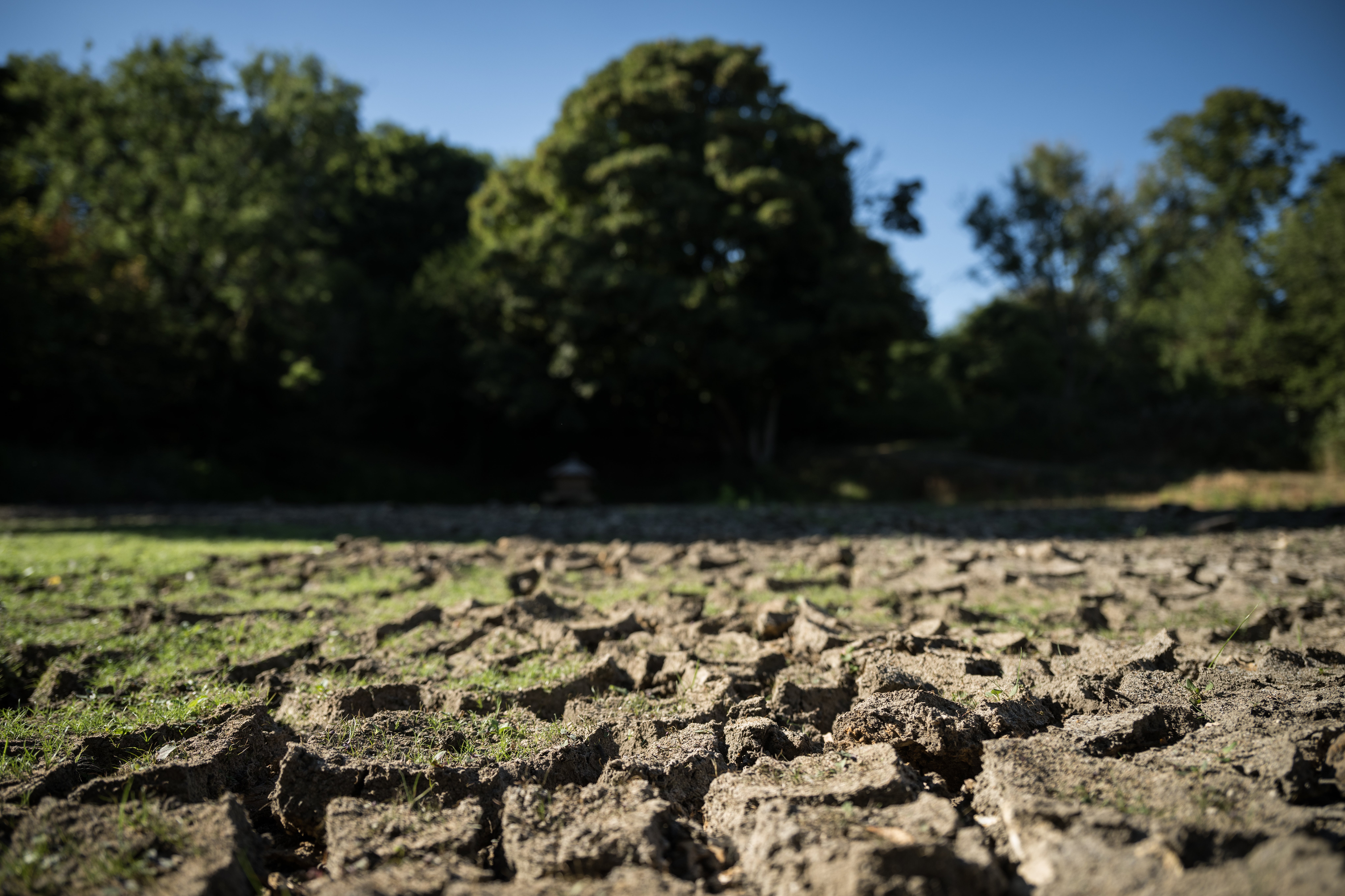
It comes as a drought is expected to be declared for some of the most affected areas in the south and east of England after many faced the driest July on record.
The National Drought Group – made up of Government and agency officials, water companies and other groups such as the National Farmers’ Union (NFU) – is set to meet today to discuss the prolonged dry weather.

On Thursday, experts warned that only “exceptional rainfall” in these worst affected parts of the country over the autumn and winter would ensure that water resources returned to normal before next year, sparking concern that restrictions could last into 2023.
“The autumn-winter period as a whole will be critical to dictating what the water resources position will be as we go into 2023,” said Jamie Hannaford, a hydrologist at the UK Centre for Ecology and Hydrology.
Responding to criticism from Labour on Thursday that ministers “have put the smoke alarm on snooze” in the midst of a second heatwave, a government spokesperson said: “The government is committed to ensuring fire services have the resources they need to keep us safe, including from wildfires, and, overall, fire and rescue authorities will receive around £2.5 billion in 2022/23.

“Lessons from the July heatwave are being implemented at pace and we are conducting daily risk assessments with the key agencies involved to ensure we’re fully prepared for extreme weather.
“We will set out our approach for the country’s resilience to 2030 and make sure we continue to be prepared to meet all future challenges.”


Join our commenting forum
Join thought-provoking conversations, follow other Independent readers and see their replies
Comments