UK weather forecast: ‘Snow moon’ to rise as hottest ever day in February possible this week
Rare supermoon will likely be obscured by cloud in most places
Your support helps us to tell the story
From reproductive rights to climate change to Big Tech, The Independent is on the ground when the story is developing. Whether it's investigating the financials of Elon Musk's pro-Trump PAC or producing our latest documentary, 'The A Word', which shines a light on the American women fighting for reproductive rights, we know how important it is to parse out the facts from the messaging.
At such a critical moment in US history, we need reporters on the ground. Your donation allows us to keep sending journalists to speak to both sides of the story.
The Independent is trusted by Americans across the entire political spectrum. And unlike many other quality news outlets, we choose not to lock Americans out of our reporting and analysis with paywalls. We believe quality journalism should be available to everyone, paid for by those who can afford it.
Your support makes all the difference.While a “snow moon” supermoon will rise tonight, it does not herald a return of cold weather across Britain, as near-record temperatures are forecast to sweep the UK this week.
Scotland is the most likely area to see its highest February measurement since records began.
Temperatures in the south could reach 18C on Saturday, but would have to rise to 19.7C to break the 1998 all-time high for the month which was recorded in Greenwich, London.
Before the warm bright weather arrives, most of the UK will see cloud cover and there will be heavy rain in some areas, all of which is expected to make viewing the snow moon difficult.
Met Office spokesman Richard Miles told The Independent: “A lot of things have to align to hit the 19.7C record for February 1998 [in England] as that is pretty warm.
“You might well see Scotland getting a record for February because that stands at 17.9C at the moment and it’s going to be close to that sort of level there. It’s all due to the warmer air coming up from the south west, and it’s that warmer, moister air being driven up by the systems coming in from the Atlantic. They are normal patterns for February, although just very mild.
He added: “At the end of February there is still the possibility of cold weather – it is still winter, but no cold snaps are expected in the coming days. It’s going to be dry most places with some decent spells of sunshine.”

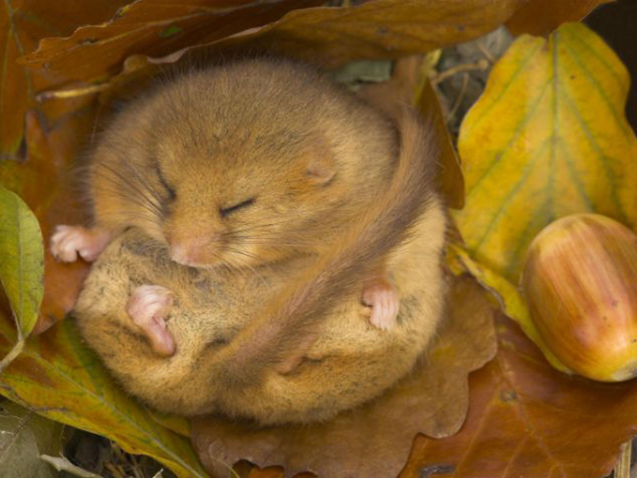
Darren Tansley, a mammal ecologist at the Wildlife Trust told The Independent the unseasonably warm weather could have a detrimental effect on hibernating species such as dormice, hedgehogs and bats.
“They could be coming out of hibernation too early, which means they’re active at a time when really they should be reserving their body fat to get over the slack food period,” he said.
“These species will be looking for food that will not be abundant at this time of year – insects are going to be in very low supply for example.
“Dormice are not going to be finding fruits and berries or anything like that at the moment, so they’ll be using their energy reserves after coming out of hibernation without finding any of the food they’d expect once the wake up.”

Join our commenting forum
Join thought-provoking conversations, follow other Independent readers and see their replies
Comments