UK heatwave: Temperatures could hit mid-30s next week in ‘unusually dry’ August
‘High proportions of the UK will meet the heatwave criteria’, says the Met Office
Your support helps us to tell the story
From reproductive rights to climate change to Big Tech, The Independent is on the ground when the story is developing. Whether it's investigating the financials of Elon Musk's pro-Trump PAC or producing our latest documentary, 'The A Word', which shines a light on the American women fighting for reproductive rights, we know how important it is to parse out the facts from the messaging.
At such a critical moment in US history, we need reporters on the ground. Your donation allows us to keep sending journalists to speak to both sides of the story.
The Independent is trusted by Americans across the entire political spectrum. And unlike many other quality news outlets, we choose not to lock Americans out of our reporting and analysis with paywalls. We believe quality journalism should be available to everyone, paid for by those who can afford it.
Your support makes all the difference.Temperatures are set to soar into the 30s this week as another heatwave grips the UK.
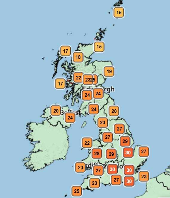
Britain will see temperatures of up to 28C on Sunday before the heatwave rolls over into next week during what is expected to be an unusually dry August, forecasters said.
The Met Office urged people to avoid midday sun and stay in the shade as the arid weather looks set to last another seven to 10 days.
Highs of 27C and 28C are expected to hit parts of south and South East England on Sunday, with sunny spells forecast throughout the day for most of the country.
High pressure moving in from the Atlantic will bring in “lots of settled weather across England and Wales”, Met Office forecaster Greg Dewhurst told The Independent.
Northern Ireland and Scotland will see some cloud at first but as high pressure builds further into next week, the warm weather will push further north as well.

Temperatures are expected to coast along the mid-20s at the start of week before they increase to the low-30 range and reach into mid-30s by the end of next week.
The build-up of warmer weather means that “high proportions of the UK will meet the heatwave criteria”, Mr Dewhurst said.
The last heatwave in July saw temperatures rise above 40C in the UK for the first time.
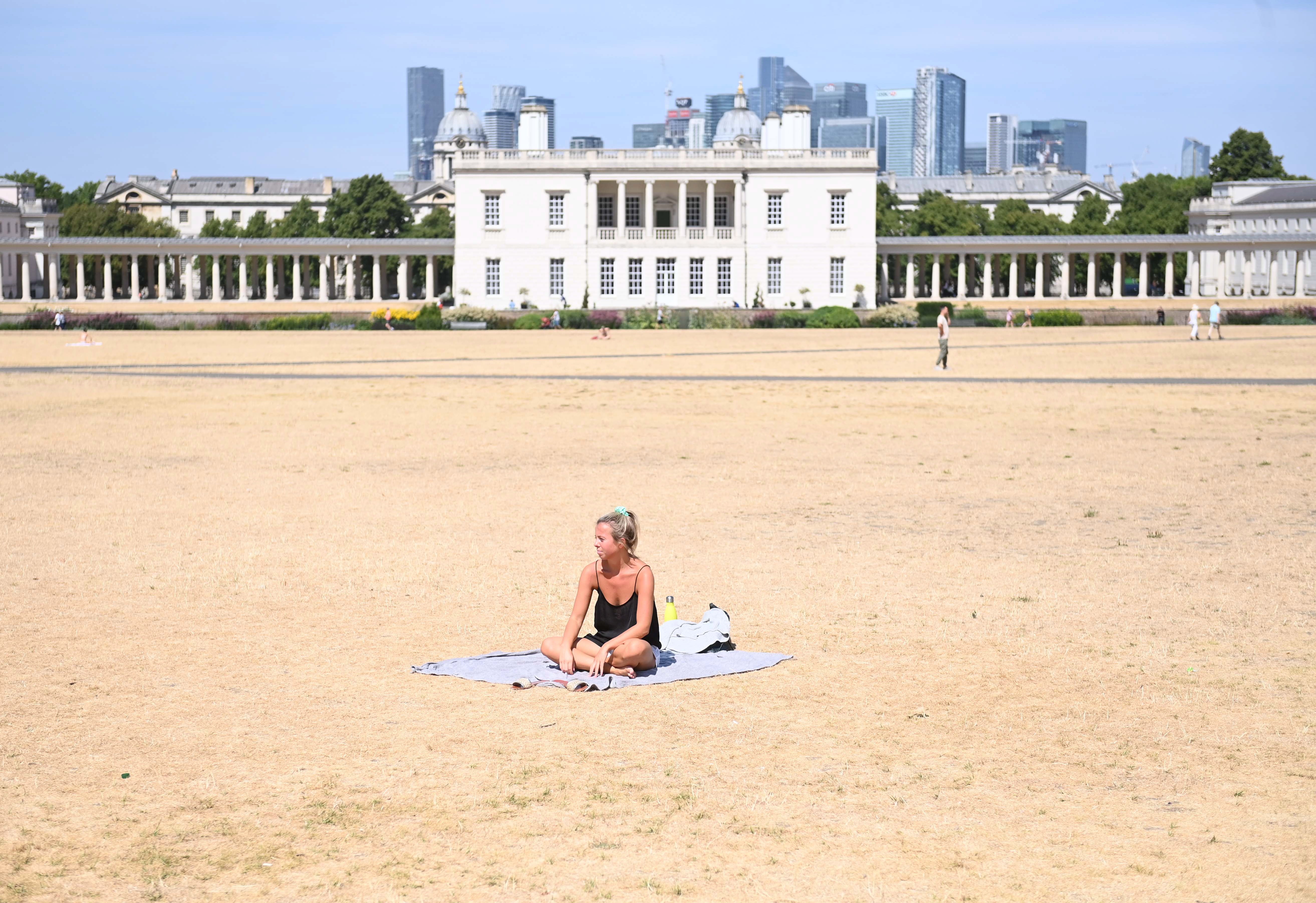
The extreme heat fuelled wildfires around the country and led to severely dry conditions which have forced water companies to impose hosepipe bans in some parts of England.

However, the Met forecaster said that “it is very unlikely” next week would bring a repeat of July’s record-breaking temperatures.
Rebekah Sherwin, deputy chief meteorologist at the Met Office, said: “There is some uncertainty about next week’s temperatures, although in early August sunshine in the UK doesn’t have the heating potential of mid-July as the sun is lower in the sky and the hours of daylight are marginally shorter.
“Both of these factors suggest that we’re very unlikely to see temperatures peak much above low to mid 30s. However, this would still be a hot spell of weather.”

Met Office Outlook
Sunday:
Dry with sunny periods for many, best of the sunshine in the south. Warmer than Saturday for many. Cloudier in the far northwest where patchy rain over hills and coasts.
Outlook for Monday to Wednesday:
Cloudy with outbreaks of rain in the far north, otherwise dry with long period of sunshine. Increasingly warm across England and Wales

Join our commenting forum
Join thought-provoking conversations, follow other Independent readers and see their replies
Comments