‘Exceptional’ Storm Eunice could be one of UK’s ‘most intense in decades’, warns meteorologist
‘Don’t treat this like normal wind storm,’ says Scott Duncan
Your support helps us to tell the story
From reproductive rights to climate change to Big Tech, The Independent is on the ground when the story is developing. Whether it's investigating the financials of Elon Musk's pro-Trump PAC or producing our latest documentary, 'The A Word', which shines a light on the American women fighting for reproductive rights, we know how important it is to parse out the facts from the messaging.
At such a critical moment in US history, we need reporters on the ground. Your donation allows us to keep sending journalists to speak to both sides of the story.
The Independent is trusted by Americans across the entire political spectrum. And unlike many other quality news outlets, we choose not to lock Americans out of our reporting and analysis with paywalls. We believe quality journalism should be available to everyone, paid for by those who can afford it.
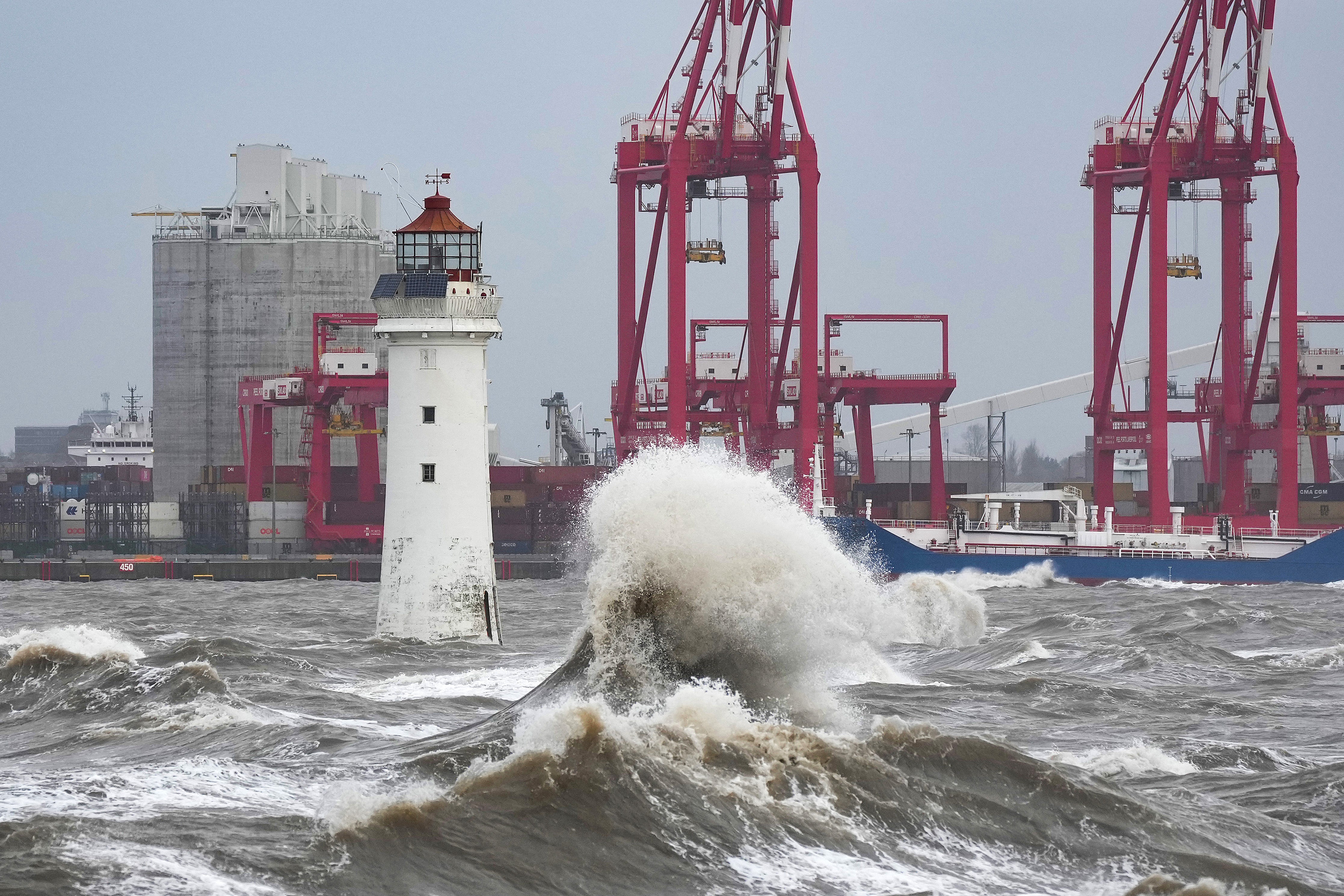
Your support makes all the difference.Storm Eunice could rank as one of the UK’s “most intense in the last 30 years” bringing severe winds with the potential to flatten trees and cause widespread disruption and damage, a leading meteorologist has said.
Scott Duncan, a forecaster and weather modeller, welcomed the red warning from the Met Office and said people should be under no illusion about the strength of the approaching weather system.
“The scale of what could happen over the next 24 hours is pretty severe, and meteorologists have been concerned about this storm for days,” he told The Independent, describing Eunice as “exceptional”.
“This shouldn’t be treated like a normal wind storm,” he said. “Storm Eunice is not something that is just going to ruin your hairstyle, it is one that is potentially going to flatten trees and disrupt travel across the whole of the country. There is also a lot of snow to talk about in Northern Ireland.”
Residents are being urged to stay at home and the army has been placed on stand-by as the UK prepares for the weather system’s arrival overnight.
The red warning has been issued by the Met Office due to the combination of high tides, strong winds and storm surge, which is a rare event for the UK.


The Met Office said there is a risk of “flying debris resulting in danger to life” and “damage to buildings and homes, with roofs blown off and power lines brought down”.
The warning covers the coastline of Devon, Cornwall and Somerset as well as the south coast of Wales and will be in effect from 7am until 12pm on Friday.
Amber warnings, the second highest alert level, for wind are in place across the whole of England from 5am to 9pm on Friday, while yellow weather warnings, the next level down, for wind and snow are in force for a large part of Scotland - where blizzards are predicted - and the whole of Northern Ireland.
Severe and significant flooding may also take place along the coastlines of the south and west of England as spring tides are expected on Friday morning.
Mr Duncan said there were “only a handful of storms that are comparable to this in recent history”, such as the Burns’ Day Storm on 25 January 1990 when 3 million trees were flattened and £3bn worth of damage was recorded by insurers.
“Every storm is different but the gradients we are seeing, and what defines the wind, is not too far away from that.”

Mr Duncan said there was the potential for the red warning to be extended further east, which he said would cause problems for commuters across the south of the country including near London.
He added that further unsettled weather was a possibility over the weekend and early next week.
“Behind Eunice, from Sunday into Monday, there is quite a concern about the winds and it could be pretty bad in the north of the country,” he said.
Join our commenting forum
Join thought-provoking conversations, follow other Independent readers and see their replies
Comments