Spring snow falls on UK as cold snap follows sunshine
Weather warnings for snow and ice as far south as Kent issued by Met Office

Your support helps us to tell the story
From reproductive rights to climate change to Big Tech, The Independent is on the ground when the story is developing. Whether it's investigating the financials of Elon Musk's pro-Trump PAC or producing our latest documentary, 'The A Word', which shines a light on the American women fighting for reproductive rights, we know how important it is to parse out the facts from the messaging.
At such a critical moment in US history, we need reporters on the ground. Your donation allows us to keep sending journalists to speak to both sides of the story.
The Independent is trusted by Americans across the entire political spectrum. And unlike many other quality news outlets, we choose not to lock Americans out of our reporting and analysis with paywalls. We believe quality journalism should be available to everyone, paid for by those who can afford it.
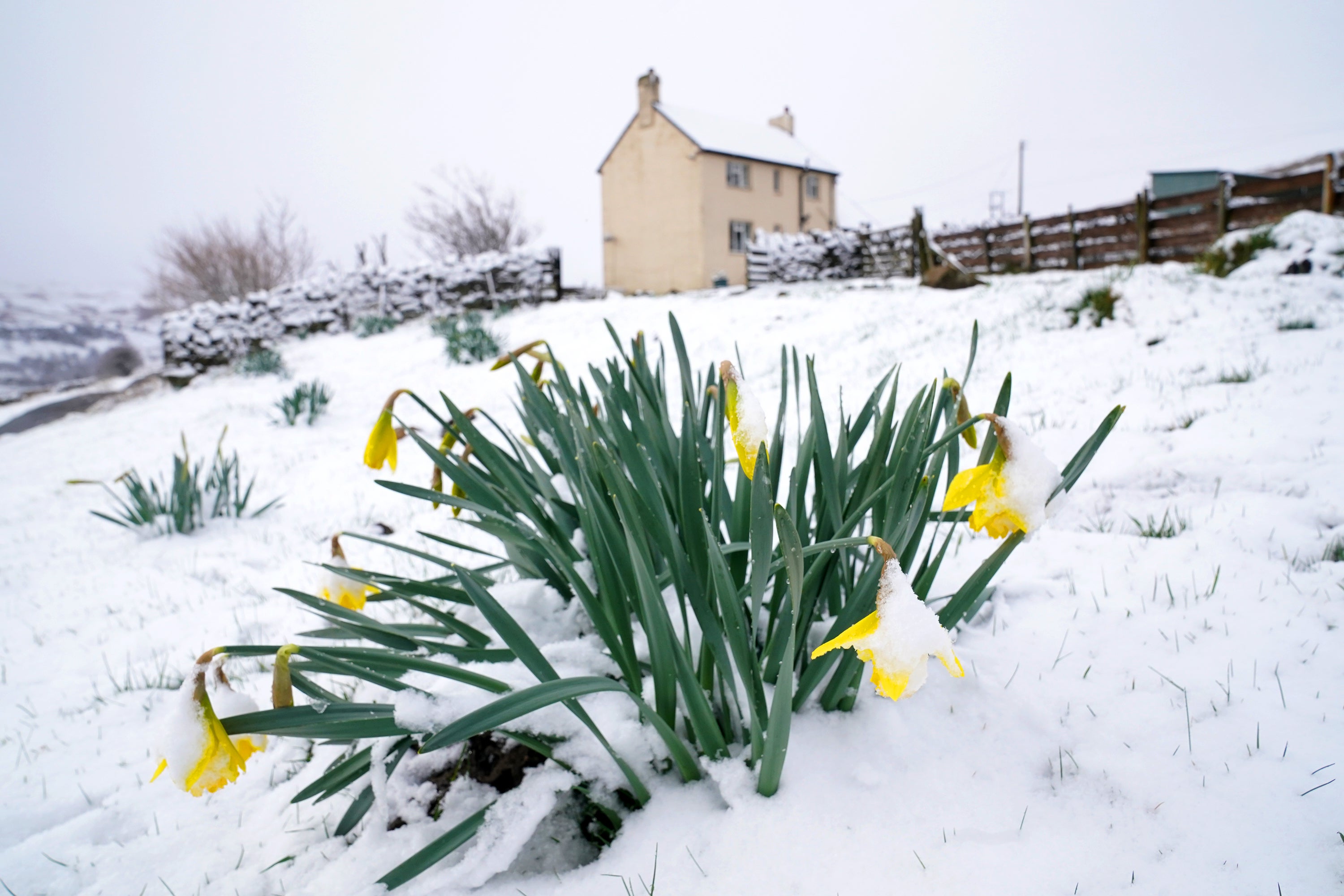
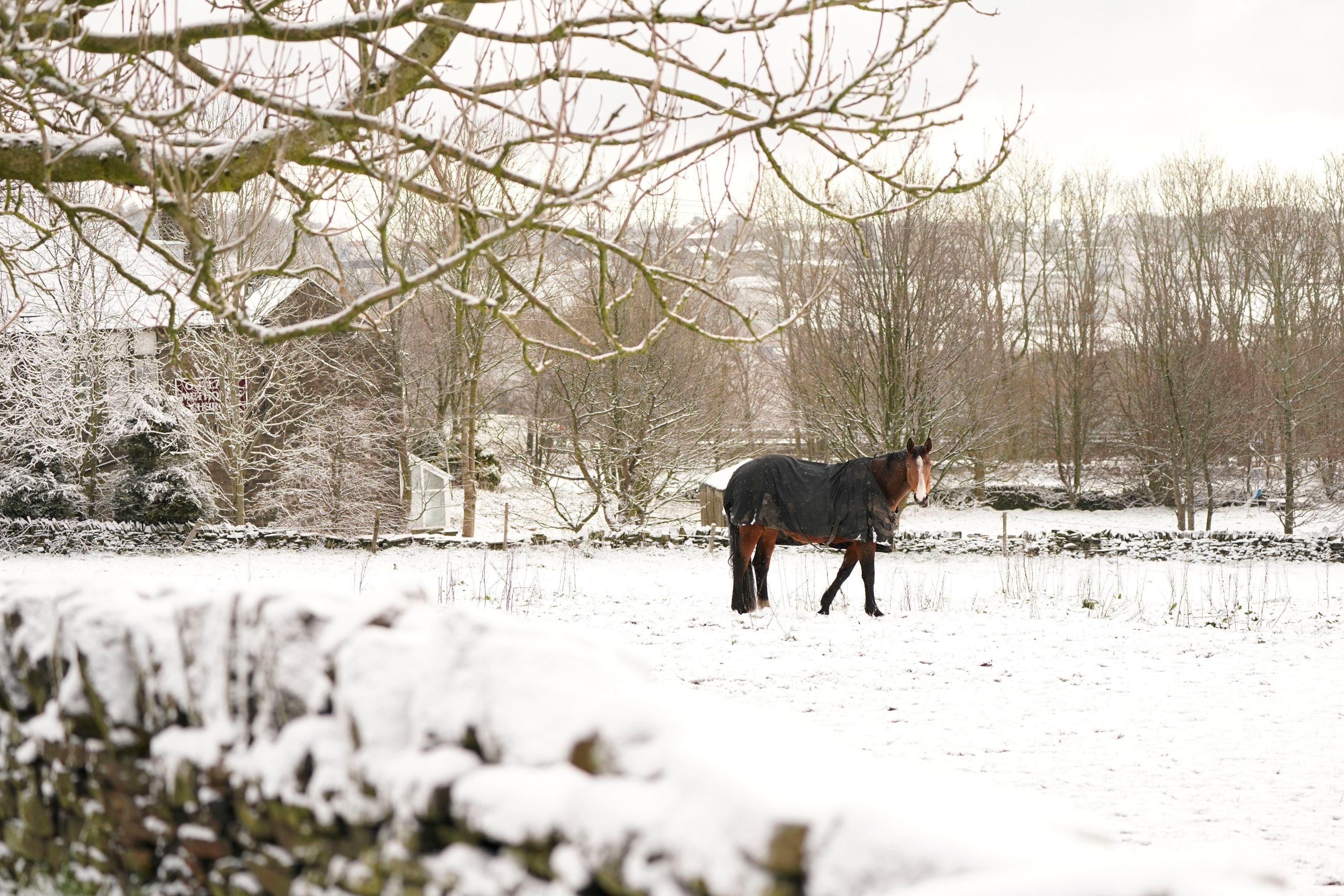
Your support makes all the difference.Parts of the UK have been covered in a blanket of springtime snow just days after the country basked in warm sunshine.
The Met Office has issued warnings for warnings for ice and snow from south England to northern Scotland on Thursday and Friday.
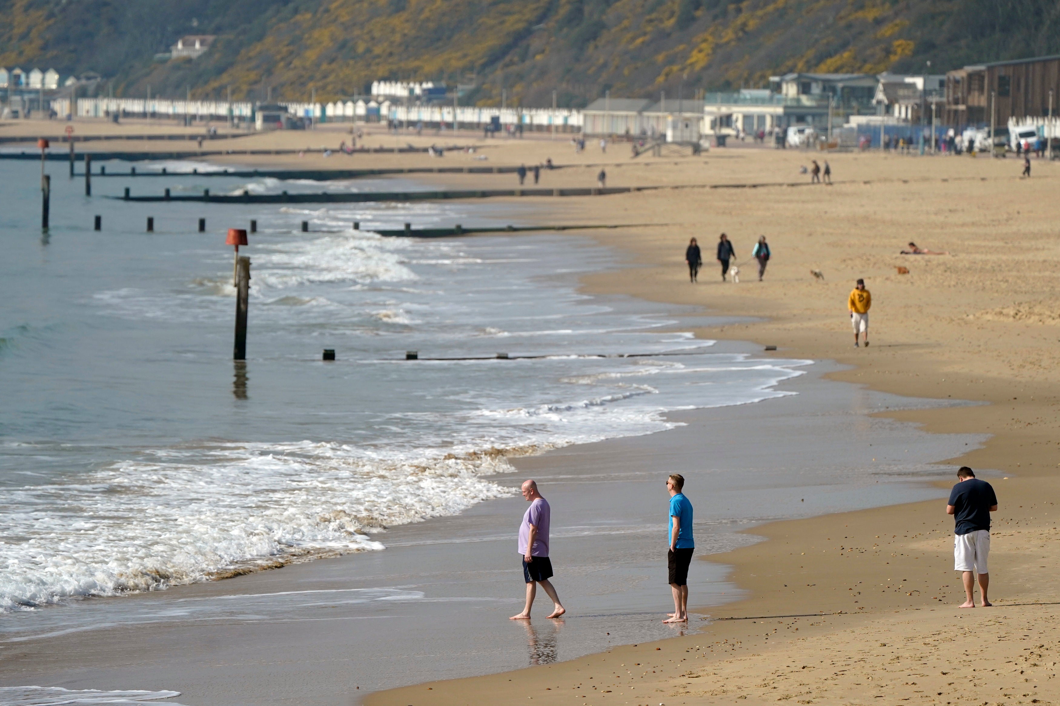
It comes after Britons enjoyed temperatures of up to 20C last week, with parks and beaches crowded on the hottest day of the year so far on Saturday.
Scotland saw the first of the snow on Wednesday, before it began falling across the UK – most heavily in the north and the east of England – on Thursday.
The Met Office has issued two weather warnings as the snowfall is expected to continue.

One warning for ice applies to eastern Scotland and northeast England from 9pm Thursday to 10am Friday. Another for snow and ice applies to parts of the southeast of England from midnight Thursday until 10am Friday.
While the snow and sudden drop in temperatures will have come as a surprise to some, meteorologists said the stark “swing” in weather was “fairly typical” of the beginning of spring.

Nicola Maxey, a Met Office spokeswoman, said: “Spring is a transition month between winter and summer so you see these big swings of weather types, so you get mild sunny conditions interspersed with colder unsettled weather that’s fairly typical.
“The last time we saw a warnings for snow and ice at this time of year, late March early April was 2018 so not that long ago.”
When asked whether the wild swing in weather can be attributed to climate change, Ms Maxey noted the frequency and severity of snow had been “declining since the 1960s” but that snowfall was “not particularly unusual”.
The southeast of England would see up to two days on average of snowfall in March, and less than a day in April, she said.

Ground cover of snow in the same region would only be seen in March every couple of years, and in April once every five to 10 years, Ms Maxey added.
Last week’s warm weather was caused by areas of high pressure, which then “moved out of the way and allowed some arctic air to drop down across the country,” the forecaster said.
She added: “We’ve got low pressure quite far to the east. As weather patterns come in from the east, and hit the colder arctic air, the rain falls as a mix of rain, snow and sleet. That’s just the sort of local weather conditions as opposed to climate change.”
Join our commenting forum
Join thought-provoking conversations, follow other Independent readers and see their replies
Comments