Met Office red weather warning explained - what does the alert mean?
Colour-coded alerts give accurate and up-to-date picture of which areas might see disruption or destruction
Your support helps us to tell the story
From reproductive rights to climate change to Big Tech, The Independent is on the ground when the story is developing. Whether it's investigating the financials of Elon Musk's pro-Trump PAC or producing our latest documentary, 'The A Word', which shines a light on the American women fighting for reproductive rights, we know how important it is to parse out the facts from the messaging.
At such a critical moment in US history, we need reporters on the ground. Your donation allows us to keep sending journalists to speak to both sides of the story.
The Independent is trusted by Americans across the entire political spectrum. And unlike many other quality news outlets, we choose not to lock Americans out of our reporting and analysis with paywalls. We believe quality journalism should be available to everyone, paid for by those who can afford it.
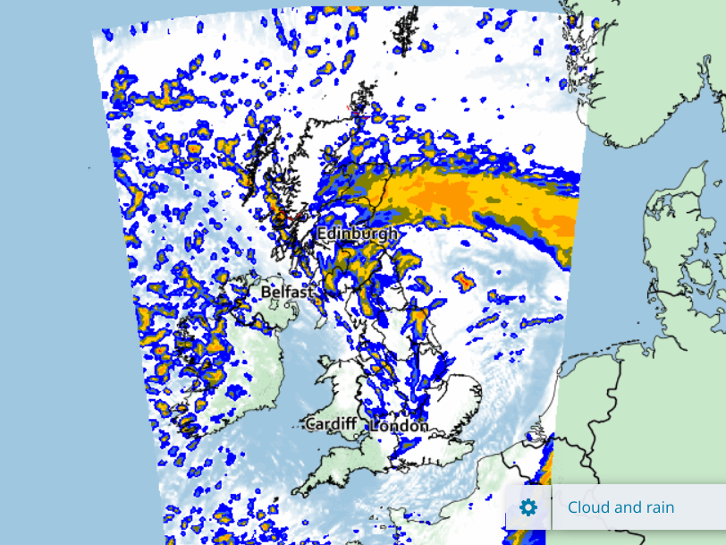
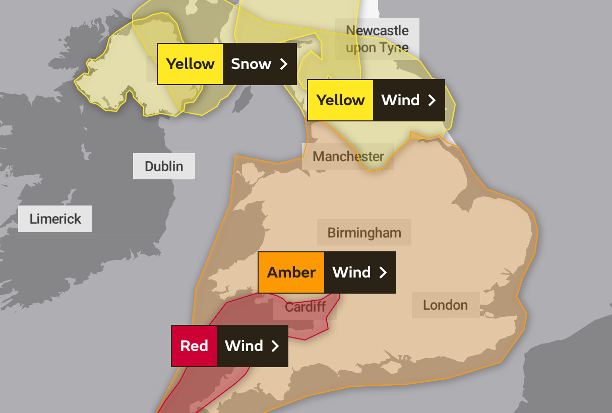
Your support makes all the difference.Yellow, amber and even the most severe red warnings are in place for vast swathes of the United Kingdom – from Inverness to the Isle of Wight – for Friday, but what do the Met Office weather alerts mean and how seriously should people respond?
Covering snow, ice, wind and rain, the colour-coded warning system gives an accurate and up-to-date picture of which areas should prepare for inclement weather.
The Met Office, the UK’s national meteorological service, issues these alerts through the National Severe Weather Warning Service at times in the year when potentially dangerous or disruptive weather is forecast.
A combination of factors are considered when assigning a colour to a weather event, including the impact it may have and the likelihood of it even occurring.
So a yellow warning, for instance, could be issued for two very different weather events – say snow on one occasion and strong winds at another time in the year.
The colour is a reflection of the potential impact and chances of it actually happening, rather than a clue as to the type of storm or precipitation that is expected.

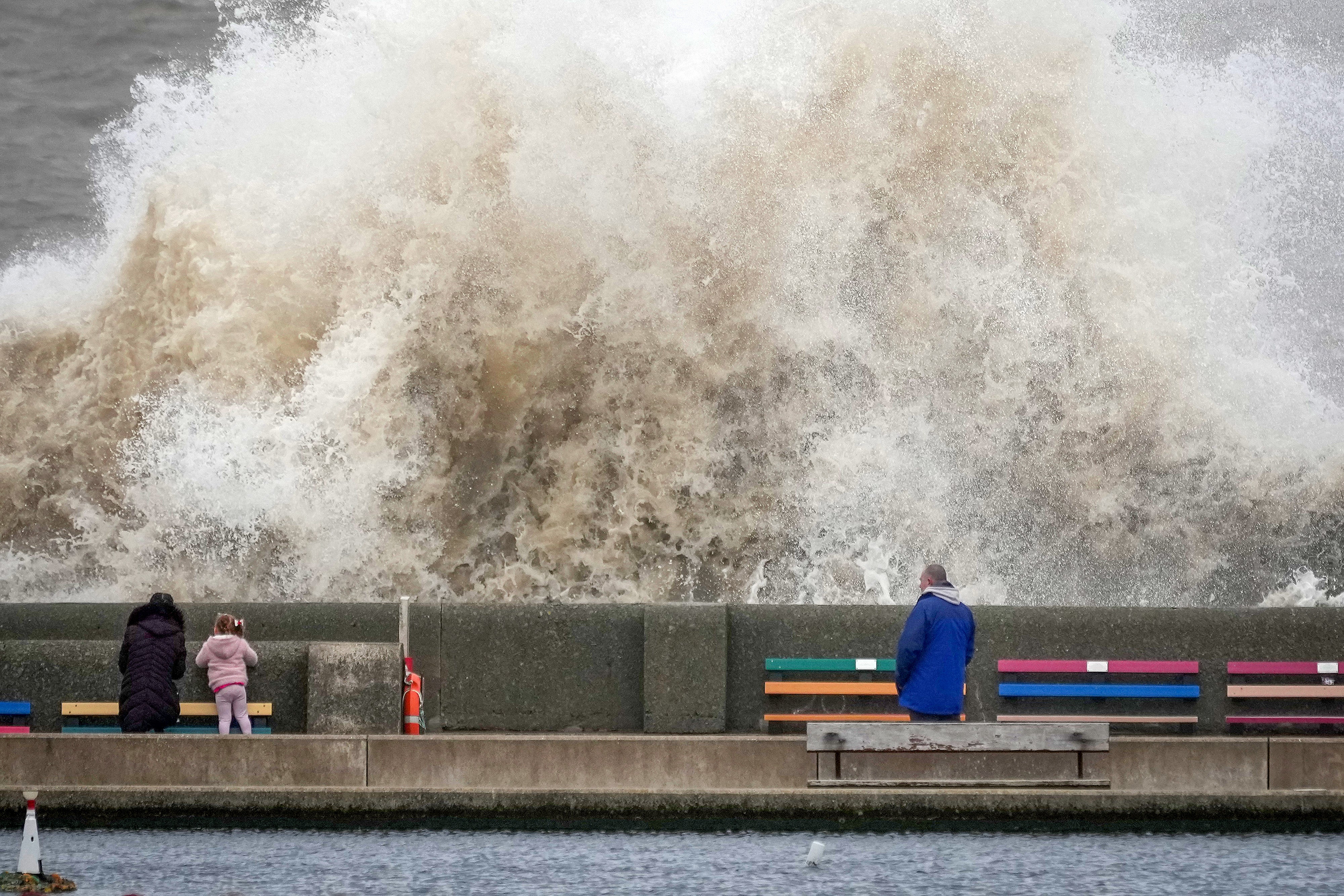
>>Follow our live coverage of Storm Eunice here<<
The impact of a weather event could range from travel delays or power cuts, to damage to properties and danger to life.
To get a clearer idea of why a colour-coded weather warning has been issued, the public are encouraged to check the Met Office’s ‘warning impact matrix’.
Here are the three colour codes explained:
Yellow
“Yellow warnings can be issued for a range of weather situations,” says the Met Office.
“Many are issued when it is likely that the weather will cause some low level impacts, including some disruption to travel in a few places. Many people may be able to continue with their daily routine, but there will be some that will be directly impacted and so it is important to assess if you could be affected.
“Other yellow warnings are issued when the weather could bring much more severe impacts to the majority of people but the certainty of those impacts occurring is much lower. It is important to read the content of yellow warnings to determine which weather situation is being covered by the yellow warning.”

Amber
Amber warnings mean there is an “increased likelihood of impacts from severe weather, which could potentially disrupt your plans”, the Met Office guidance states.
“This means there is the possibility of travel delays, road and rail closures, power cuts and the potential risk to life and property. You should think about changing your plans and taking action to protect yourself and your property.
“You may want to consider the impact of the weather on your family and your community and whether there is anything you need to do ahead of the severe weather to minimise the impact.”

Red
The most serious red warnings indicate “dangerous weather is expected and, if you haven’t already done so, you should take action now to keep yourself and others safe from the impact of the severe weather”, the Met Office says.
“It is very likely that there will be a risk to life, with substantial disruption to travel, energy supplies and possibly widespread damage to property and infrastructure.
“You should avoid travelling, where possible, and follow the advice of the emergency services and local authorities.”


Join our commenting forum
Join thought-provoking conversations, follow other Independent readers and see their replies
Comments