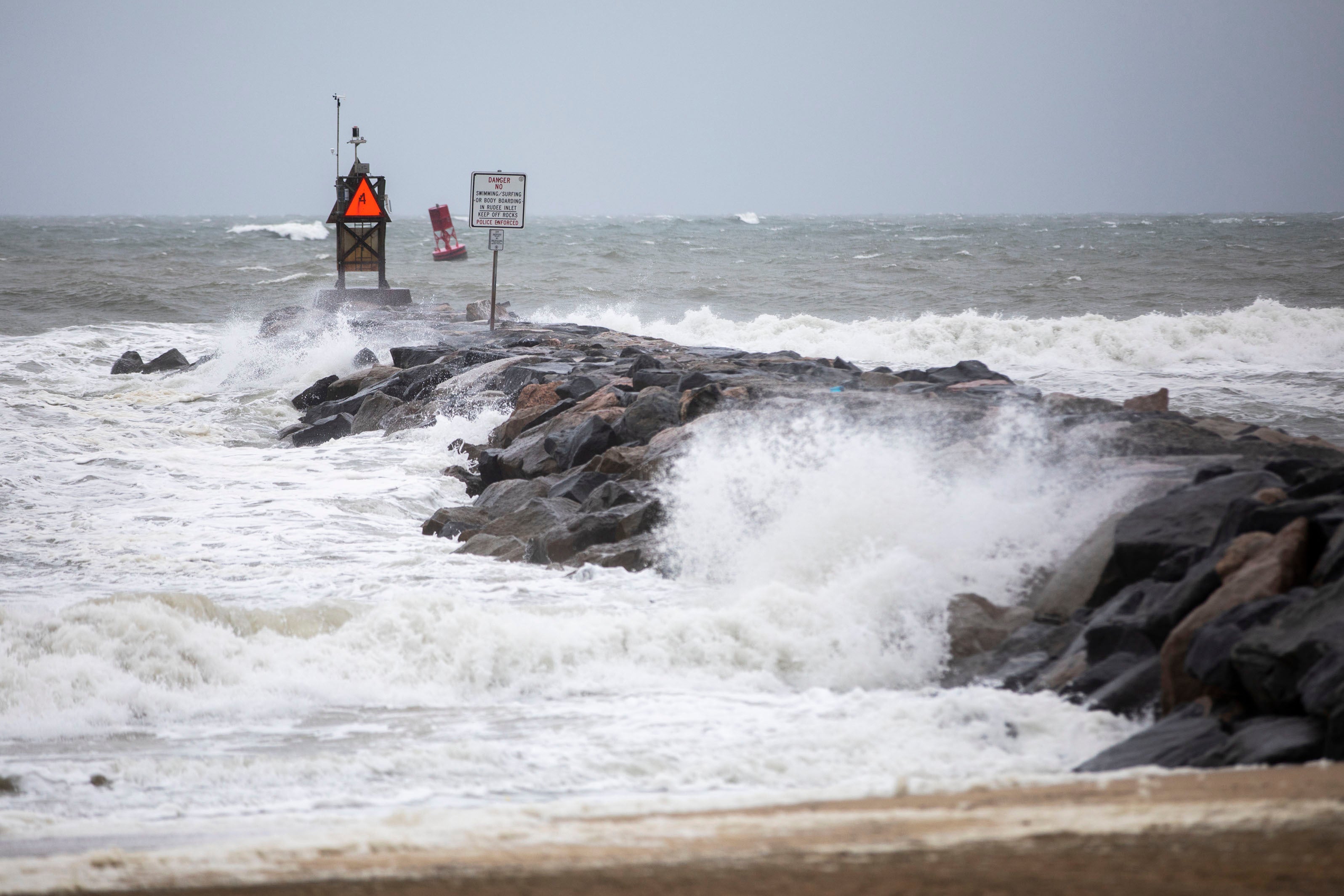
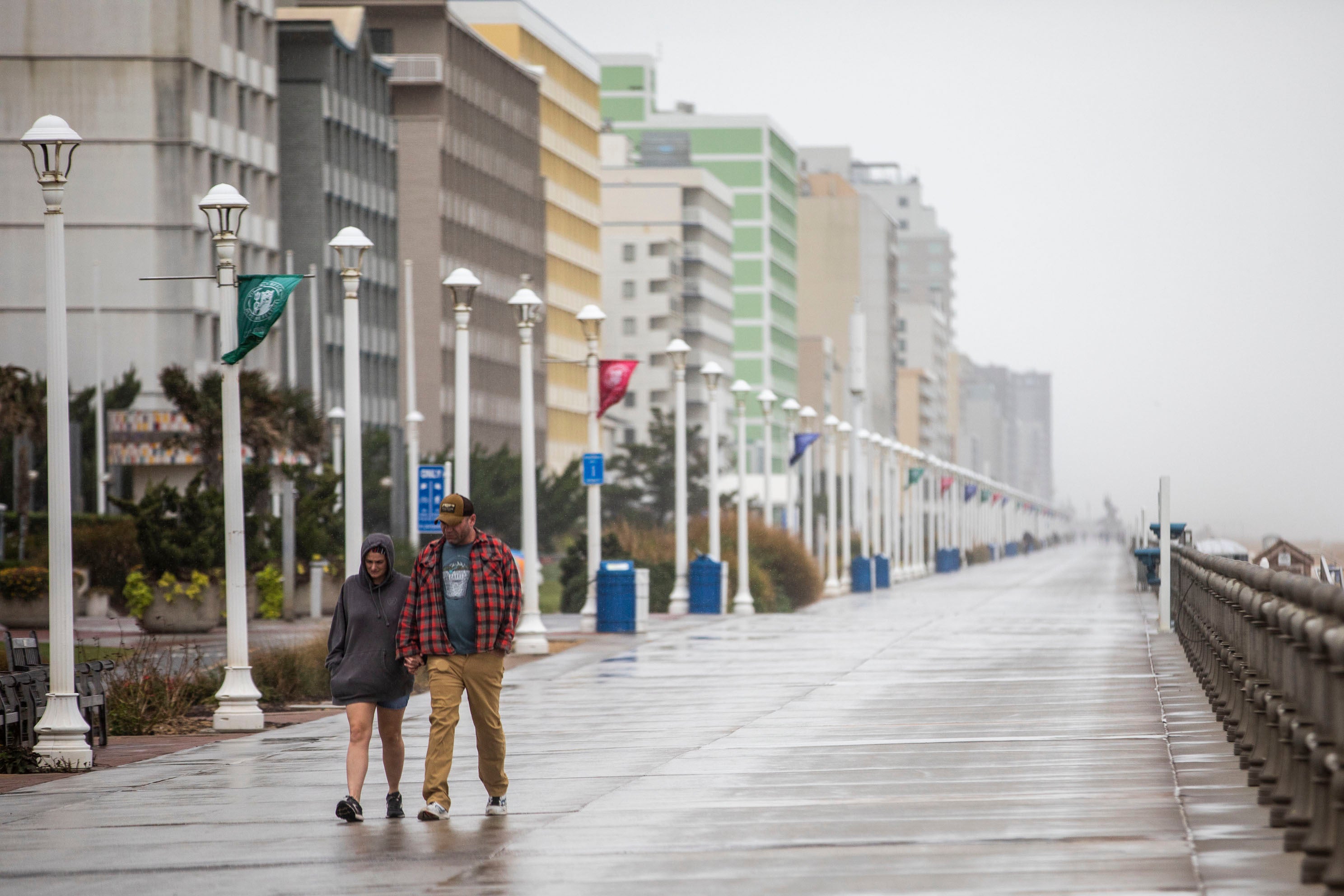
Tropical Storm Ophelia makes landfall in North Carolina leaving 56,000 without power
Storm surges up to six feet forecast along areas of North Carolina and Virginia coasts

Your support helps us to tell the story
From reproductive rights to climate change to Big Tech, The Independent is on the ground when the story is developing. Whether it's investigating the financials of Elon Musk's pro-Trump PAC or producing our latest documentary, 'The A Word', which shines a light on the American women fighting for reproductive rights, we know how important it is to parse out the facts from the messaging.
At such a critical moment in US history, we need reporters on the ground. Your donation allows us to keep sending journalists to speak to both sides of the story.
The Independent is trusted by Americans across the entire political spectrum. And unlike many other quality news outlets, we choose not to lock Americans out of our reporting and analysis with paywalls. We believe quality journalism should be available to everyone, paid for by those who can afford it.
Your support makes all the difference.Tropical Storm Ophelia made landfall on the North Carolina coast early Saturday morning with heavy rain, damaging winds and dangerous surges of water along parts of the east coast.
The storm came ashore on Emerald Isle with near-hurricane strength winds of 70 mph at around 6.15am, forecasters said.
The storm promised a weekend of windy conditions and heavy rain. Up to 7 inches is expected in parts of North Carolina and Virginia, and 2 to 4 inches in the rest of the mid-Atlantic region through Sunday.
More than 43,000 customers were without power in North Carolina on Saturday morning, and a further 13,000 in Virgina.
Ophelia is expected to weaken later today as it moves inland and then shifts northeast on Sunday, according to the National Hurricane Center.
At least three trees fell on homes in the college town of Chapel Hill and roads were blocked across the state, according to WRAL, while there were widespread reports of flooding.
North Carolina Department of Transportation advised against travel on North Carolina Highway 12 which links peninsulas and islands of the northern Outer Banks.
”It’s dark and stormy. If you must travel, SLOW DOWN and drive with EXTREME CAUTION,” the department warned.
A storm surge warning, indicating danger from rising water moving inland, was in effect from Bogue Inlet, North Carolina, to Chincoteague, Virginia. Surges between 4 and 6 feet were forecast in some areas, the hurricane centre said.
A tropical storm warning was issued from Cape Fear, North Carolina to Fenwick Island, Delaware. A hurricane watch was in effect in North Carolina for the area north of Surf City to Ocracoke Inlet.

The governors of North Carolina, Virginia and Maryland declared a state of emergency on Friday as some schools closed early and several weekend events were cancelled.
“The storm’s path has been difficult to predict and we want to ensure that farmers, first responders and utility crews have the tools necessary to prepare for severe weather,” North Carolina Governor Roy Cooper said.
The North Carolina Ferry System suspended service on all routes on Friday until conditions improve, officials said.
Virginia Governor Glenn Youngkin’s executive order sought to ease response and recovery efforts.
“We want to ensure that all communities, particularly those with the greatest anticipated impact, have the resources they need to respond and recover from the effects of this storm,” Youngkin said, encouraging residents to prepare emergency kits and follow weather forecasts closely.
Maryland Governor Wes Moore said the state expected an extended period of strong winds, heavy rainfall and elevated tides.
In Annapolis, Maryland’s capital, water taxi driver Scott Bierman said services would be closed on Saturday. “We don’t operate when it’s going to endanger passengers and or damage vessels,” Mr Bierman said.

In Washington, the Nationals baseball team postponed its Saturday game until Sunday.
It is not uncommon for one or two tropical storms, or even hurricanes, to form off the East Coast each year, National Hurricane Center Director Michael Brennan said.
“We’re right at the peak of hurricane season, we can basically have storms form anywhere across much of the Atlantic basin,” Brennan said.
The climate crisis could result in hurricanes expanding their reach into mid-latitude regions more often, making storms like Hurricane Lee earlier this month more common.
One study simulated tropical cyclone tracks from pre-industrial times, modern times and a future with higher emissions.
It found that hurricanes would track closer to the coasts including around Boston, New York and Virginia and be more likely to form along the Southeast coast.
With reporting from the Associated Press


