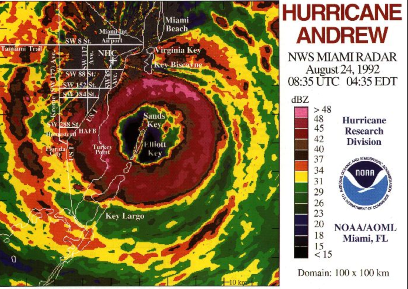
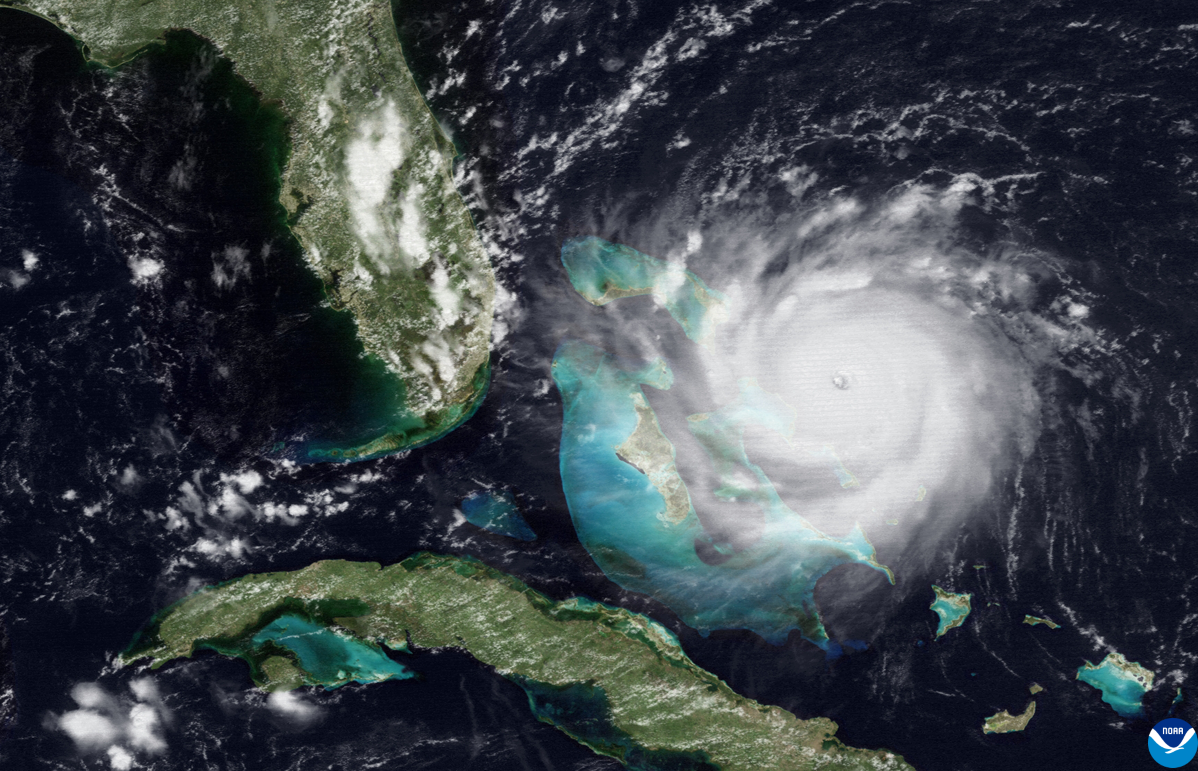
Hurricane Andrew: Iconic, ominous image resurfaces on 30th anniversary of devastating storm
On 24th August 1992, Andrew made landfall, killing at least 43 people, destroying more than 50,000 homes and causing $30billion in damages in the southern US
Your support helps us to tell the story
From reproductive rights to climate change to Big Tech, The Independent is on the ground when the story is developing. Whether it's investigating the financials of Elon Musk's pro-Trump PAC or producing our latest documentary, 'The A Word', which shines a light on the American women fighting for reproductive rights, we know how important it is to parse out the facts from the messaging.
At such a critical moment in US history, we need reporters on the ground. Your donation allows us to keep sending journalists to speak to both sides of the story.
The Independent is trusted by Americans across the entire political spectrum. And unlike many other quality news outlets, we choose not to lock Americans out of our reporting and analysis with paywalls. We believe quality journalism should be available to everyone, paid for by those who can afford it.
Your support makes all the difference.An iconic image has resurfaced on the 30th anniversary of Hurricane Andrew, the most powerful storm on record to hit southern Florida.
On 24th August 1992, Andrew made landfall as a rare Category 5 hurricane, killing at least 43 people and destroying more than 50,000 homes.
In the early hours of that morning, a radar image issued by the National Weather Service in Miami gave an ominous sense of what lay ahead with tightly-packed storm bands cloaking southern Florida.
It struck in South Miami-Dade County before sunrise with maximum sustained winds of 165mph, the National Oceanic and Atmospheric Administration (NOAA) reported.

Hurricane Andrew caused close to $30bn in damages in the southern United States, the most expensive disaster in the country’s history until Hurricane Katrina in 2005.
The community of Homestead, just north of the Florida Keys, suffered the most devastation with more than 99 per cent of its mobile homes completely destroyed.
After barrelling through Florida, Hurricane Andrew then shifted into the Gulf of Mexico. It made a second landfall near Point Chevreuil, Louisiana two days later as a Category 3 storm with winds of 115mph.
Several factors linked to the climate crisis are fuelling more powerful, destructive hurricanes, scientists say.

Greenhouse gases, largely caused by burning fossil fuels, are trapping more heat which is absorbed by the ocean. Warmer air and water powers more intense hurricane winds and sends water into the clouds, leading to more catastrophic downpours that can trigger dangerous flooding and coastal surges.
In an article looking back at Hurricane Andrew this week, Jamie Rhome, the acting director of NOAA’s National Hurricane Center, explained how the disaster spurred dramatic advancements in forecasting and planning for hurricanes.
“We have come a long way in advancing hurricane forecasts since 1992,” Mr Rhome said, in a statement.
“Sustained investments in research, modeling, satellites, aircraft observations and forecaster innovation have led to a 75 per cent improvement in hurricane track forecasts and a 50 per cent improvement in intensity forecasts.”

Join our commenting forum
Join thought-provoking conversations, follow other Independent readers and see their replies
Comments