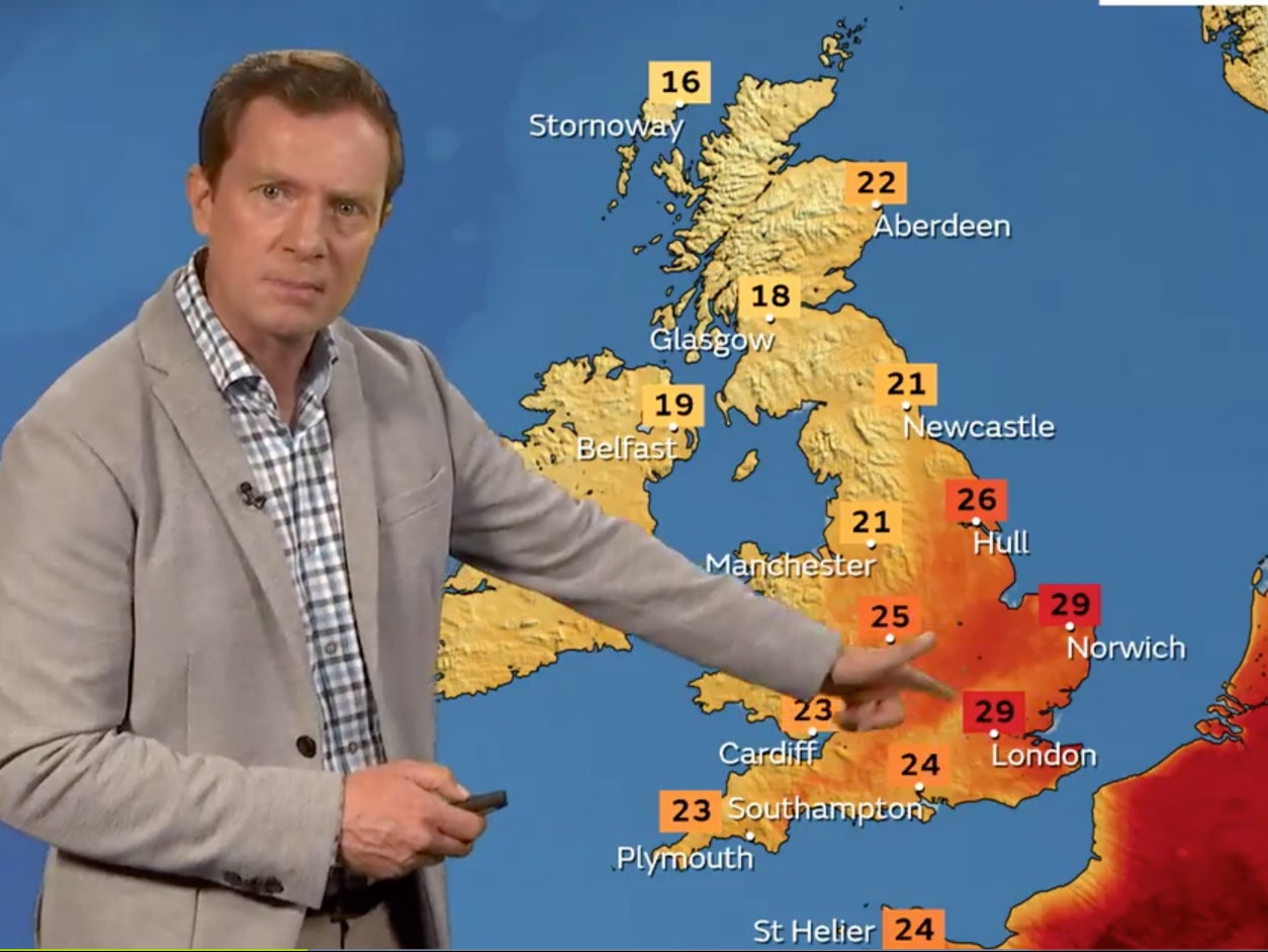
Heatwave: Drought and searing temperatures expected in Europe and UK
‘Crippling’ droughts set to worsen with forecasters warning no significant rain is on the way
Your support helps us to tell the story
From reproductive rights to climate change to Big Tech, The Independent is on the ground when the story is developing. Whether it's investigating the financials of Elon Musk's pro-Trump PAC or producing our latest documentary, 'The A Word', which shines a light on the American women fighting for reproductive rights, we know how important it is to parse out the facts from the messaging.
At such a critical moment in US history, we need reporters on the ground. Your donation allows us to keep sending journalists to speak to both sides of the story.
The Independent is trusted by Americans across the entire political spectrum. And unlike many other quality news outlets, we choose not to lock Americans out of our reporting and analysis with paywalls. We believe quality journalism should be available to everyone, paid for by those who can afford it.
Your support makes all the difference.Another heatwave is building across southwestern Europe, with the UK on course for soaring temperatures from this weekend, according to forecasters.
Temperatures in the UK will rise into the 30s, and experts warned little rain was on the horizon to ease the record dry spell currently underway since the last heatwave which pushed temperatures over 40C for the first time in history.
The Met Office’s Annie Shuttleworth told The Independent that “very warm air” across continental Europe means temperatures could be 10C higher than average in some areas.
“Whilst not as extreme as recent heatwaves, persistent above average temperatures across much of Iberia and southern France will likely exacerbate ongoing heat-related issues,” she said.
Almost all of France is now subject to water use restrictions due to the drought. The country is experiencing its third heatwave of this summer, during which thousands of people have been evacuated because of wildfires. Almost 400 hectares have burnt since the weekend.
Spain is also in the grip of a “crippling” drought with crops such as avocados and olives affected. Along with Portugal, the countries are facing their driest conditions in 1,200 years, and more than 1,000 people have reportedly died in relation to the excessive heat this summer. This week temperatures are expected to top 40C again.
Forecaster Scott Duncan tweeted a heatmap of western Europe, writing: “Yet another significant heatwave building into Europe right now. This summer is simply brutal.”
Speaking about the UK, the Met Office’s Graham Madge told The Independent: “It’s been a rollercoaster over the last three weeks.
“We’ve had two major situations develop – one on the back of another. The record-breaking temperatures and then the ongoing underlying record-breaking lack of rainfall for parts of southern England.”
“We’re going to see temperatures rise towards the end of next week. Beginning from this weekend we’ll have an area of high pressure begin to build and as it does so, temperatures especially in the south and east will rise.
“We’re anticipating temperatures in the region of low- to mid-30s [centigrade]. So not getting up the record levels we saw on the 19 July. It’s still hot though.”

As we head towards autumn “the potential for intense heat is reduced because of shorter days and the sun is a bit lower in the sky. All of those factors were in play two weeks ago, but now they’ve been curtailed a little bit”.
In terms of drought, Mr Madge said: “We can’t see any meaningful rain for the south of England within our shortcast window which is the next seven to 10 days. Beyond that, we’d generally expect settled conditions to prevail, which in summer means less rainfall. There might be intense bursts of rainfall if we get summer thunderstorms or that kind of thing, so localised areas might see – or even be impacted by – heavy rain.”
He added: “I don’t think there’s anything in the immediate forecast that puts us on a path to helping to recharge reservoirs or groundwater levels.”
A rapid analysis by scientists after July’s record-breaking heatwave found the climate crisis had made the event at least 10 times more likely to occur.
The research team led by experts at UCL and Imperial College London’s Grantham Institute for Climate Change and the Environment also said this was a conservative estimate as extreme temperatures in Western Europe are rising faster than climate models predicted.


Join our commenting forum
Join thought-provoking conversations, follow other Independent readers and see their replies
Comments