West Coast braces for more extreme weather and flash floods after devastating bomb cyclone
A bomb cyclone and atmospheric river storm resulted in the deaths of two people and knocked out power for hundreds of thousands of West Coast residents
Your support helps us to tell the story
From reproductive rights to climate change to Big Tech, The Independent is on the ground when the story is developing. Whether it's investigating the financials of Elon Musk's pro-Trump PAC or producing our latest documentary, 'The A Word', which shines a light on the American women fighting for reproductive rights, we know how important it is to parse out the facts from the messaging.
At such a critical moment in US history, we need reporters on the ground. Your donation allows us to keep sending journalists to speak to both sides of the story.
The Independent is trusted by Americans across the entire political spectrum. And unlike many other quality news outlets, we choose not to lock Americans out of our reporting and analysis with paywalls. We believe quality journalism should be available to everyone, paid for by those who can afford it.
Your support makes all the difference.Following days of extreme winter weather that left two women dead, forced evacuations, and knocked out power for hundreds of thousands of West Coast residents, forecasters warned Friday of more life-threatening impacts from the atmospheric river and another storm through the weekend.
The first round of storms broke precipitation records in California, bringing a third of Sonoma County’s yearly rainfall average and the Russian River reached a minor flood stage at the local Hacienda Bridge. San Rosa was pummeled with 6.5 inches of rain over the last 24 hours, marking its wettest day on record since 1998.
The Humboldt County Sheriff’s Office issued evacuation orders for people living near the Eel River and flooding also closed Highway 1 in Mendocino County. Evacuation orders have been downgraded since then.
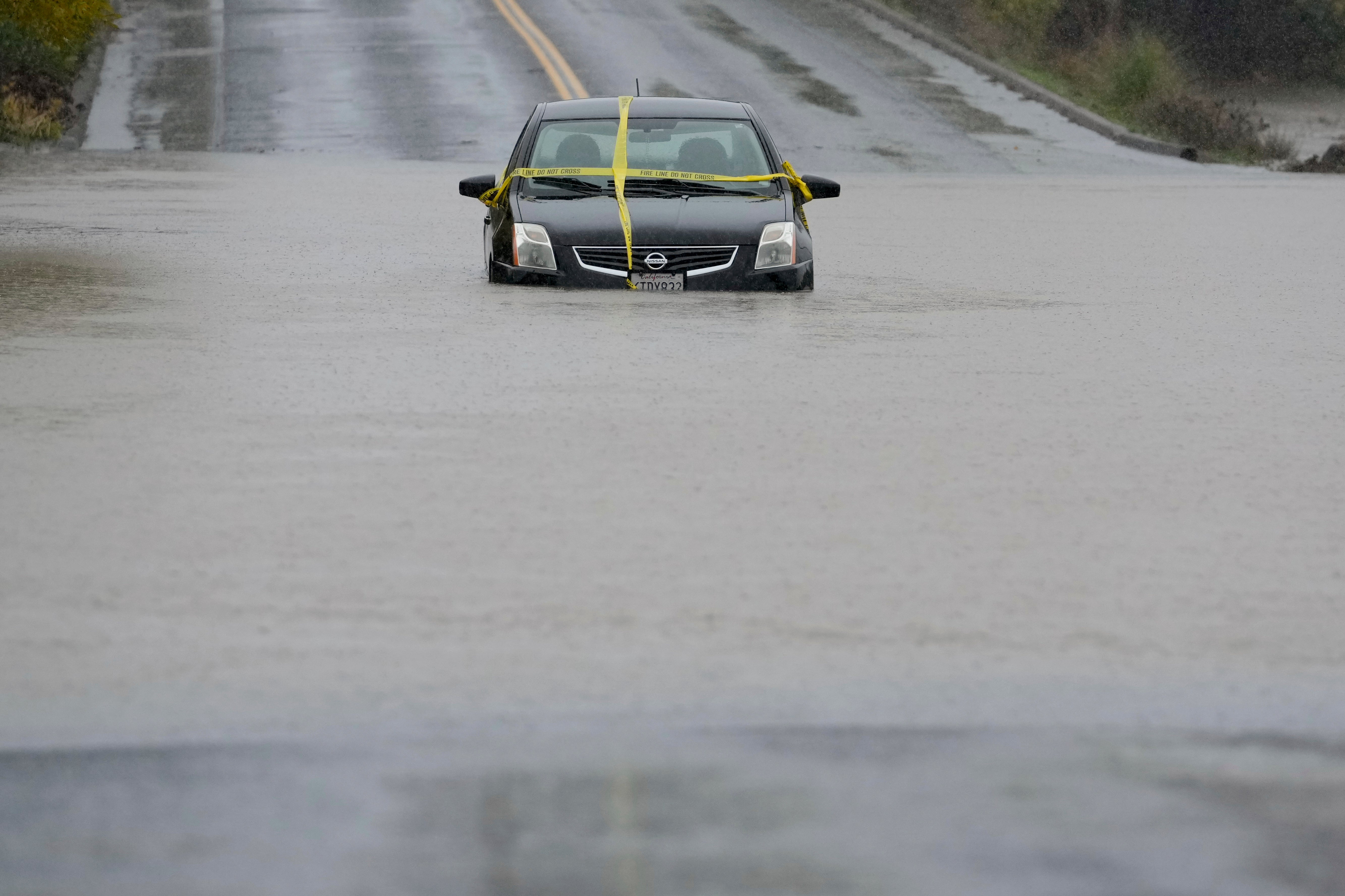
Cal Fire posted a video of its firefighters conducting a swift water rescue on a flooded roadway in northern Chico Thursday night.
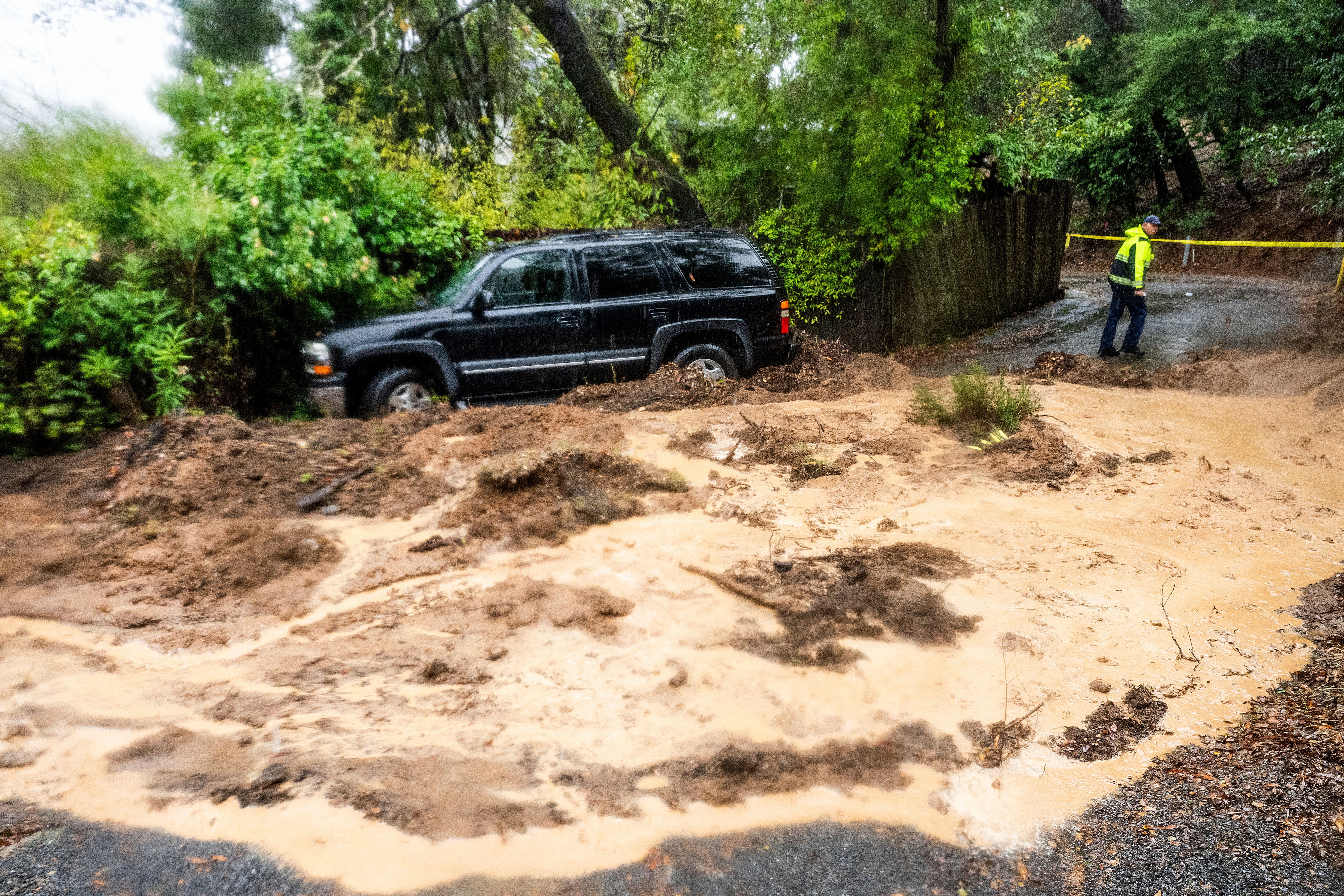
A boulder that fell into the middle of California’s Highway 281 in Clearlake Riviera caused an accident and rocks blocked both lanes of Highway 20 in Sarasota Springs, according to Fox Weather.
In all three West Coast states, gale warnings and high wind warnings were issued, along with winter storm warnings in the California Cascades and Sierra Nevada.
Rain and snow were continuing to fall, and the weather was already hampering early Thanksgiving travel. More than 200 flights were delayed or canceled Friday morning at San Francisco International Airport, according to tracking service FlightAware.
After hurricane-force winds, nearly 185,000 customers in Washington were still without power on Friday morning, as well as more than 19,500 in California, according to the tracker PowerOutage.US. Washington utility officials said outages, which began Tuesday, could last into Saturday.
While the forecasters had warned of a potential second bomb cyclone, the storm came up short of forecasts on Thursday. The media forecasting company AccuWeather said the Golden State would see new storms over the weekend.
“Unlike the storms that have been bringing the flooding to Northern California the last several days, the atmospheric river, or stream of moisture into California, won’t be as strong or as intense. The areas of low pressure spinning and coming in from the Pacific will be weak and won’t steer a steady stream of the remaining moisture into any one place,” AccuWeather Senior Meteorologist Dave Houk said.
It noted that more than a foot of rain had fallen in northern California cities west of Sacramento on Thursday morning.
The National Weather Service said the atmospheric river has been directed away from flooded areas of northern California, providing beneficial rainfall across Central California into the Central Sierra Nevada range.
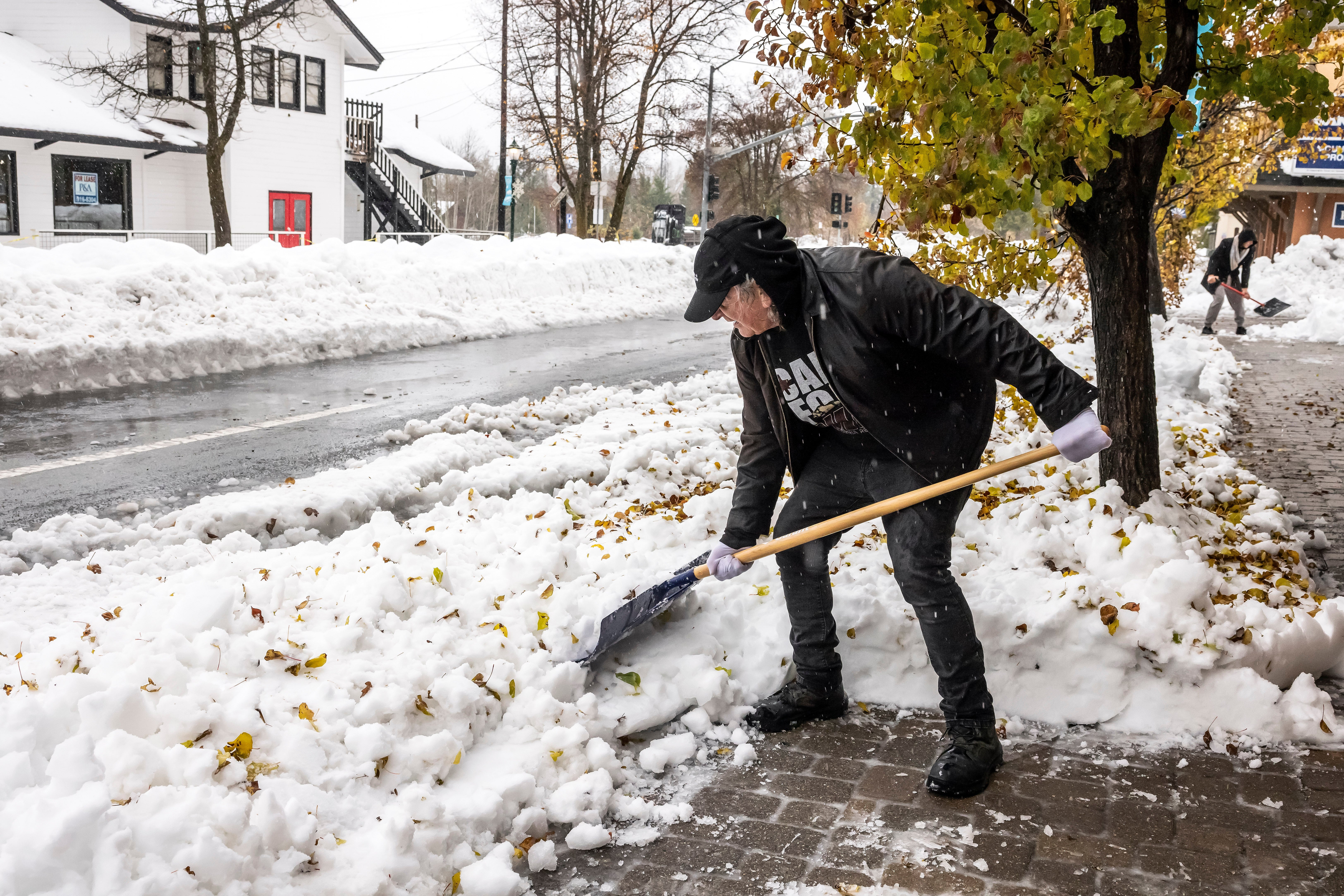
The long plume of moisture will continue to produce heavy mountain snows into very early morning Saturday.
Multiple feet of snow are likely to accumulate at elevations above 7,000 feet and very strong and gusting winds were forecast to slowly diminish.
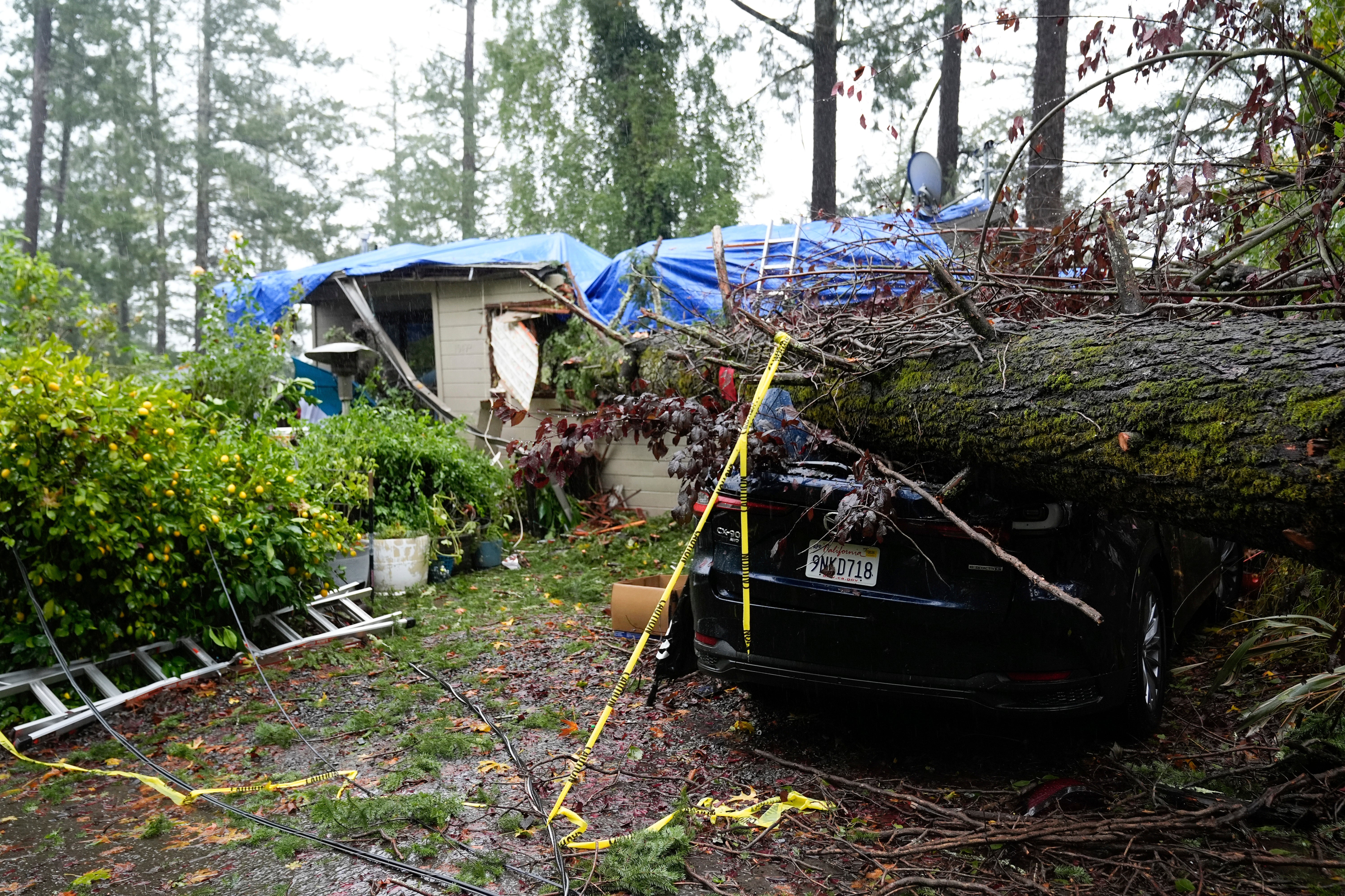
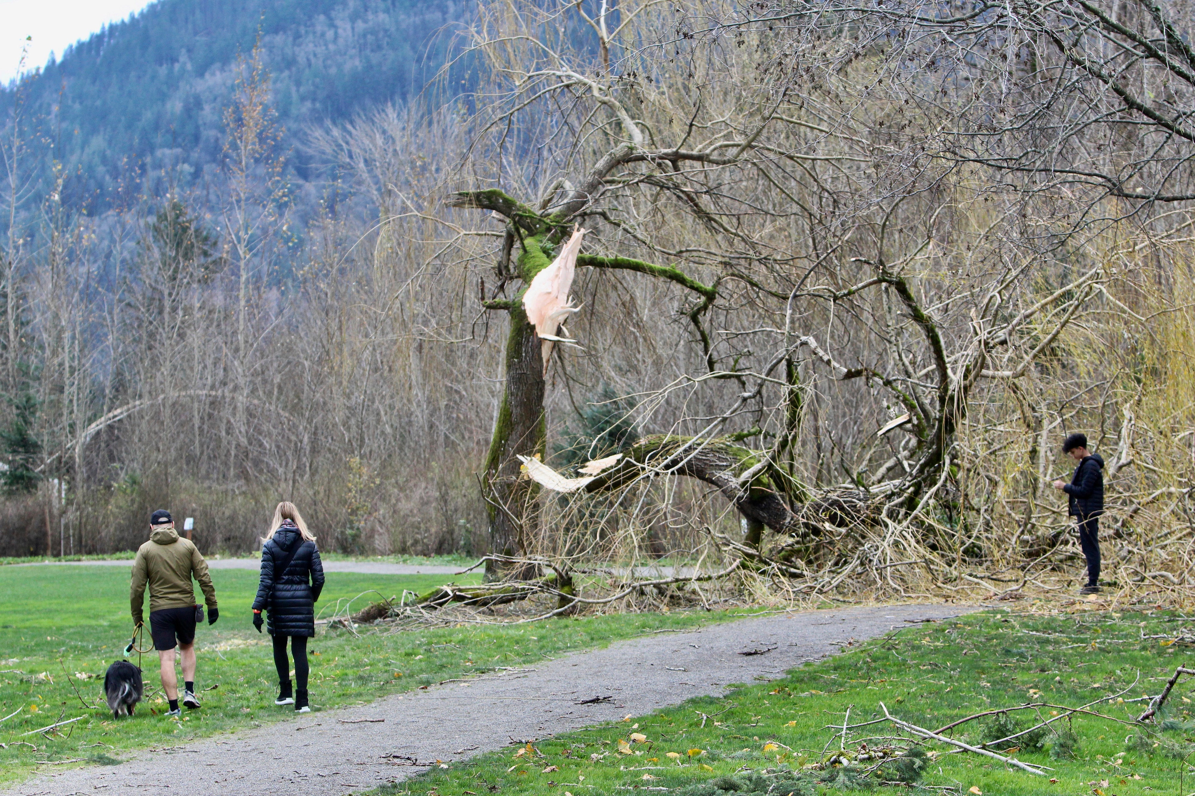
“Given saturated grounds, tree-falls remain possible and may result in additional power outages,” the agency added.
“There is the potential for up to 0.50 of an inch to fall on the Los Angeles area, beginning Sunday morning or midday and continuing into Sunday night,” AccuWeather Senior Meteorologist Heather Zehr said. “This will be the first rainfall since May 13, when 0.13 of an inch fell on downtown Los Angeles.”
Strong winds will also continue across coastal areas of northwest California, over south-central Oregon, and into western Washington.
A high surf advisory was in effect in Washington, bringing large ocean waves of 20 to 24 feet that could cause significant beach erosion.
With reporting from The Associated Press

Join our commenting forum
Join thought-provoking conversations, follow other Independent readers and see their replies
Comments