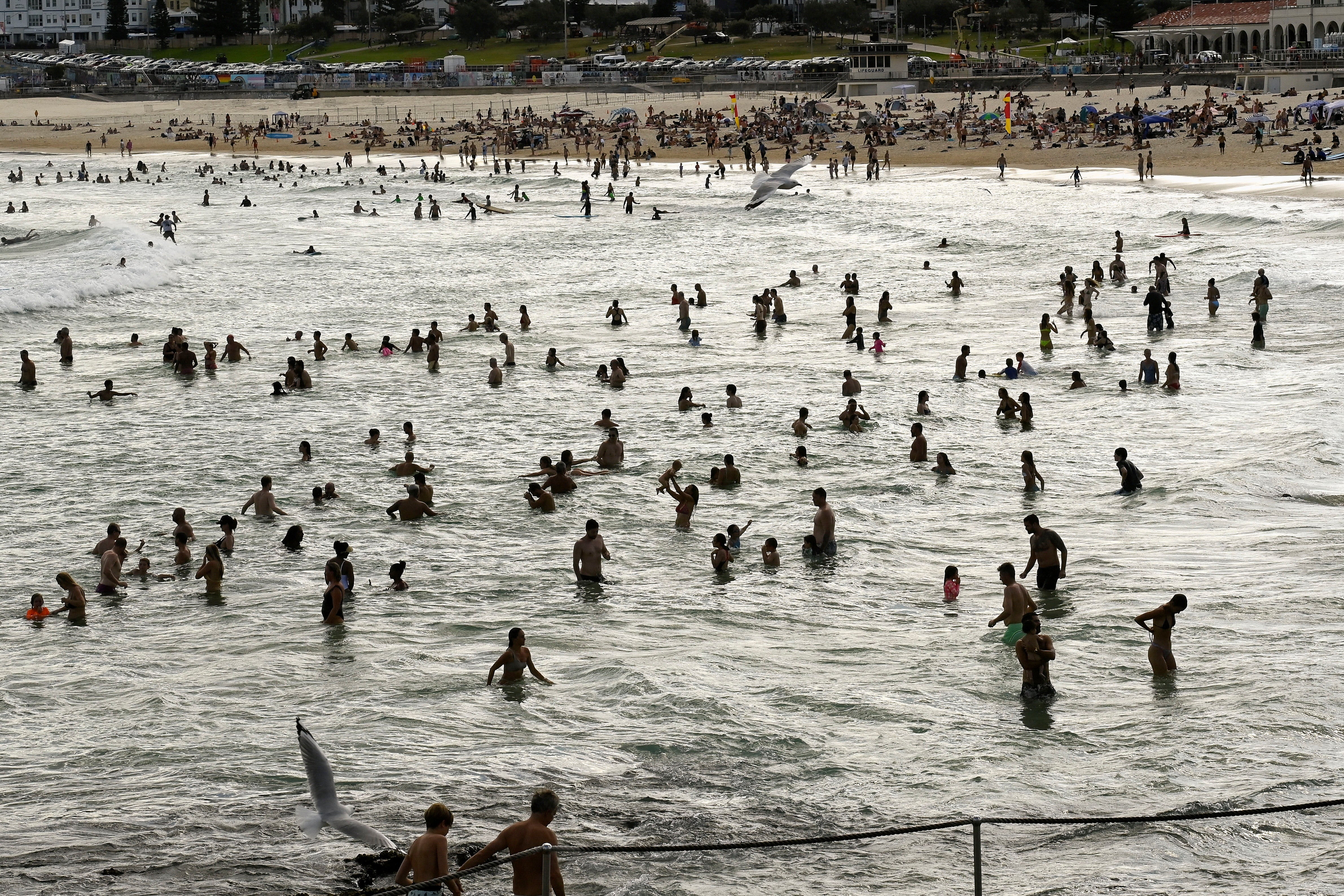
Australia’s east faces ‘worst heatwave in two years’ as bushfires continue to rage
Bureau of Meteorology also warns of dry thunderstorms which could lead to new fires sparked by lightning
Your support helps us to tell the story
From reproductive rights to climate change to Big Tech, The Independent is on the ground when the story is developing. Whether it's investigating the financials of Elon Musk's pro-Trump PAC or producing our latest documentary, 'The A Word', which shines a light on the American women fighting for reproductive rights, we know how important it is to parse out the facts from the messaging.
At such a critical moment in US history, we need reporters on the ground. Your donation allows us to keep sending journalists to speak to both sides of the story.
The Independent is trusted by Americans across the entire political spectrum. And unlike many other quality news outlets, we choose not to lock Americans out of our reporting and analysis with paywalls. We believe quality journalism should be available to everyone, paid for by those who can afford it.
Your support makes all the difference.Bushfires continue to burn across New South Wales (NSW) as Sydney and some other parts of Australia experience a sweltering heatwave that has broken a two-year record.
On Monday, temperatures soared above 40C, leading to the closure of 35 public schools in NSW’s inland regions.
Total fire bans are in place across most of the state as firefighters work to contain almost 40 bushfires, with crews on the ground supported by aircraft.
One fire near Mudgee, over 250km northwest of Sydney, is at an emergency warning level. Residents in the area were urged to seek shelter immediately.
Angela Burford, the operational officer at the NSW Rural Fire Service, warned it would be challenging for firefighters to contain fires that start under these conditions.
“If a fire does start, it’s going to be burning under those difficult conditions... [it’s] harder for our firefighters to get around them, and fire can spread very quickly, particularly in grassland,” Angela Burford, operational officer at the New South Wales Rural Fire Service, told the Australian Broadcasting Corp.
She explained that the dry weather and high temperatures make it easier for the fire to spread quickly, especially in grasslands.

In addition to the risk of bushfires, the Bureau of Meteorology also warned of dry thunderstorms, which could lead to new fires being ignited by lightning.
The hot and dry conditions are likely to persist until Wednesday.
Penrith, a suburb in western Sydney, recorded a 40.1C temperature on Monday afternoon, making it the hottest day since 26 January 2021.
Meanwhile, some inland towns reached nearly 41C.

Australia’s east coast has been experiencing the La Nina weather phenomenon for the last two years, which has typically been associated with increased rainfall.
In 2022, Sydney recorded its highest annual rainfall since records began in 1858.
The Bureau of Meteorology, however, recently reported that climate models suggested La Nina was “likely near its end” and neutral conditions are likely to prevail through the southern hemisphere autumn.
Meanwhile, the World Meteorological Organisation said there is an increased chance of the El Nino phenomenon taking place this year, which is a weather pattern that can drive up temperatures further and contribute to more heatwaves across the world.
As Australia continues to face the threat of bushfires, emergency services and government agencies are reminding residents to stay alert and be prepared for any emergencies that may arise.
Additional reporting by agencies


Join our commenting forum
Join thought-provoking conversations, follow other Independent readers and see their replies
Comments