In photos: Rising seas threaten Indonesia’s coastline
Photographers chart the decline of Jakarta, soon to be abandoned as the island nation’s capital
Your support helps us to tell the story
From reproductive rights to climate change to Big Tech, The Independent is on the ground when the story is developing. Whether it's investigating the financials of Elon Musk's pro-Trump PAC or producing our latest documentary, 'The A Word', which shines a light on the American women fighting for reproductive rights, we know how important it is to parse out the facts from the messaging.
At such a critical moment in US history, we need reporters on the ground. Your donation allows us to keep sending journalists to speak to both sides of the story.
The Independent is trusted by Americans across the entire political spectrum. And unlike many other quality news outlets, we choose not to lock Americans out of our reporting and analysis with paywalls. We believe quality journalism should be available to everyone, paid for by those who can afford it.
Your support makes all the difference.Communities and fragile ecosystems along Indonesia’s coastlines are increasingly at risk as sea waters rise to unprecedented levels.
Made up of over 17,000 islands and over 54,000 kilometres of coastline, the southeast Asian archipelago nation is one of the most vulnerable in the world to the impacts of the climate crisis, according to a joint report by the World Bank and Asian Development Bank.
Nowhere is the threat of rising sea levels clearer than Indonesia’s sprawling capital, Jakarta.
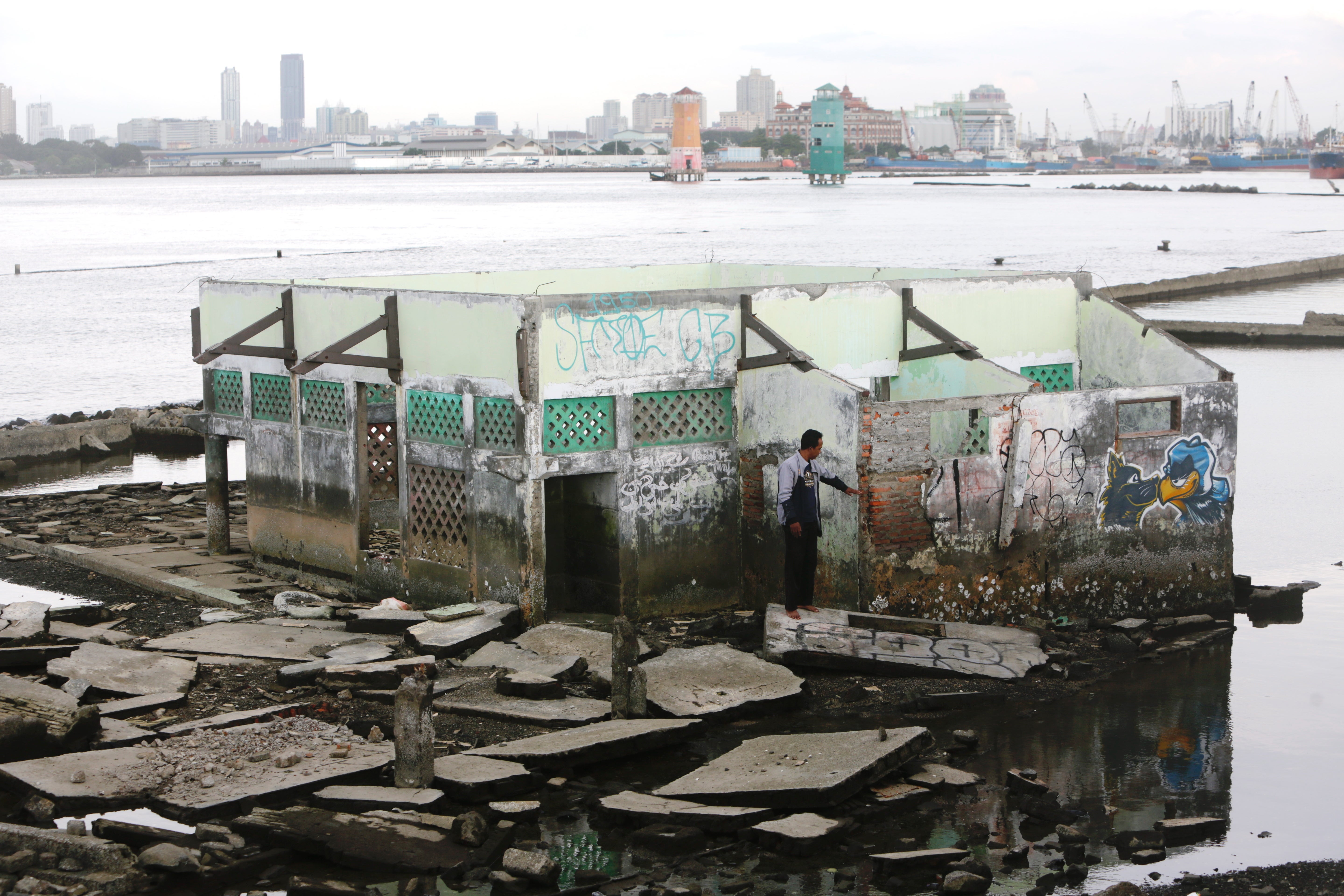
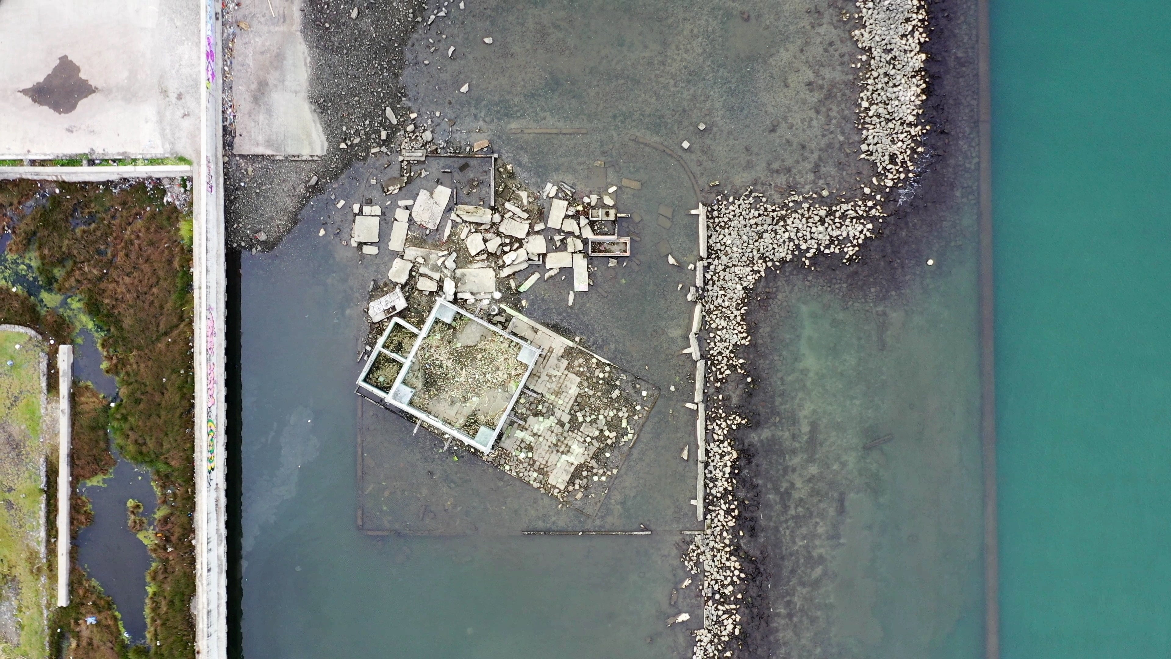
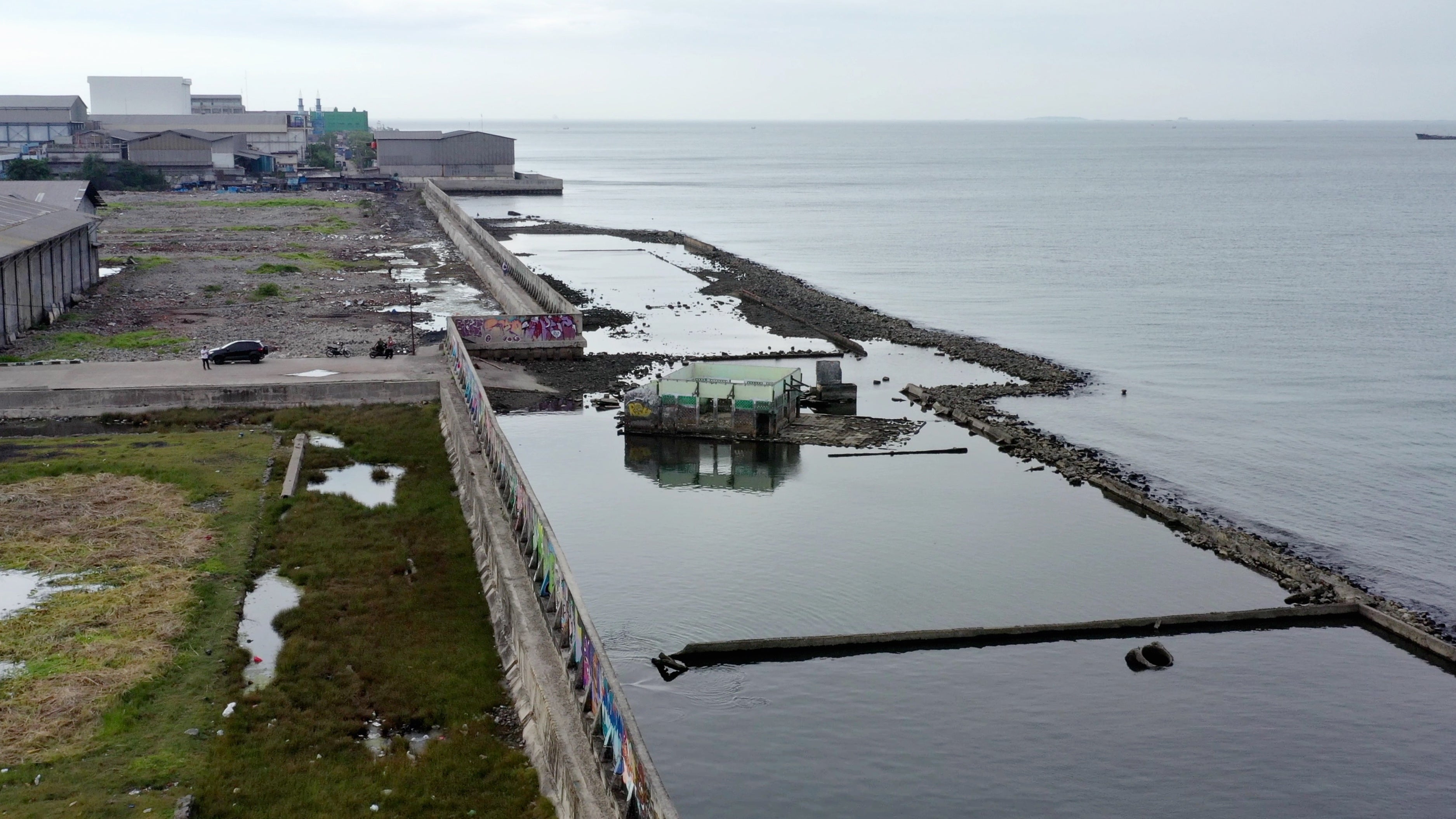
Rapid urban development and massive population growth over the past 30 years have caused the city – 40 per cent of which already lies below sea level – to sink further, as the paddies and mangroves that would naturally protect the city from excess water are replaced by asphalt and concrete.
The impact is most visible in the north of the city, which is sinking at a rate of 25cm per year. By 2050, it is estimated that over 95 per cent of North Jakarta will be submerged, according to a report by the Bandung Institute of Technology.
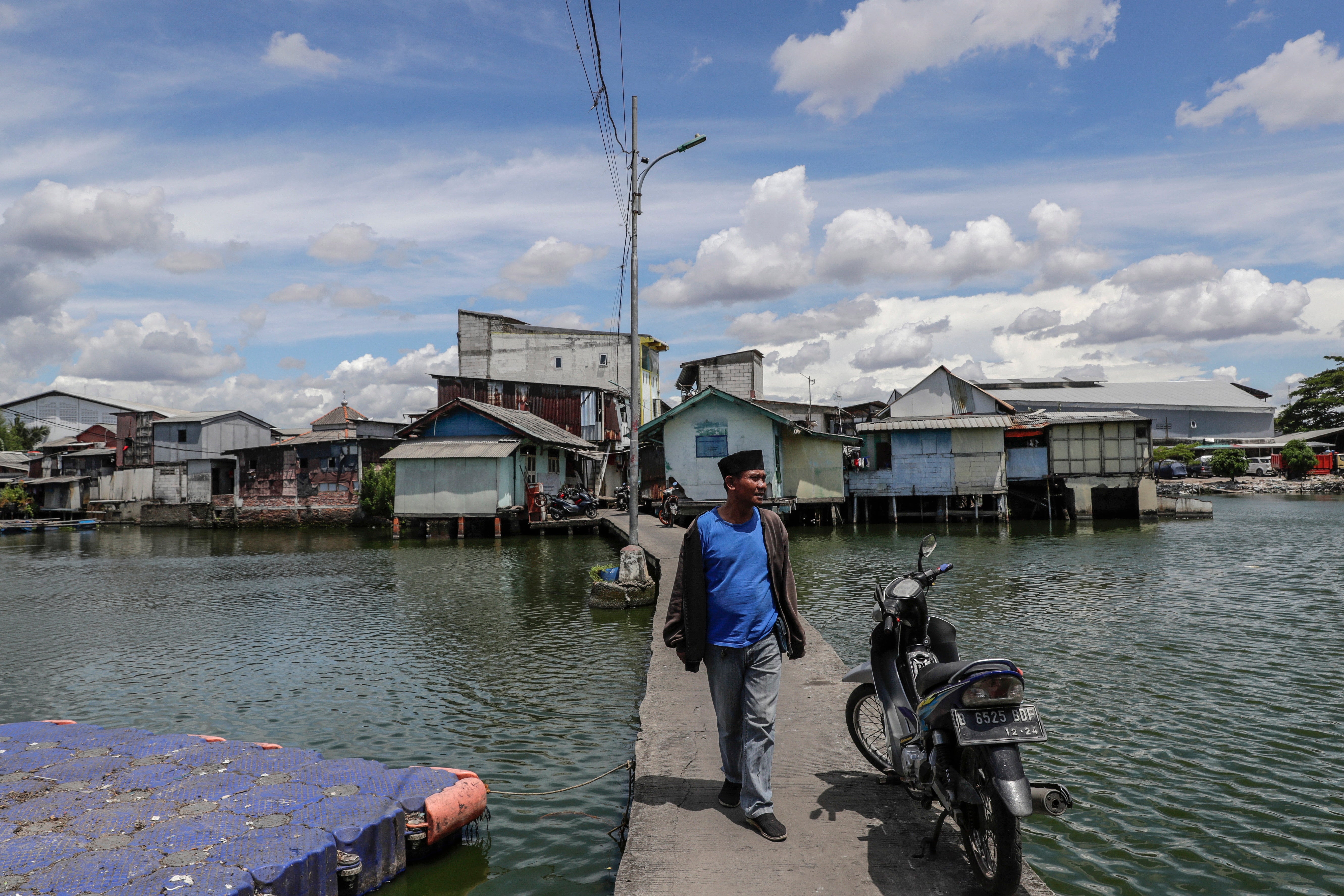
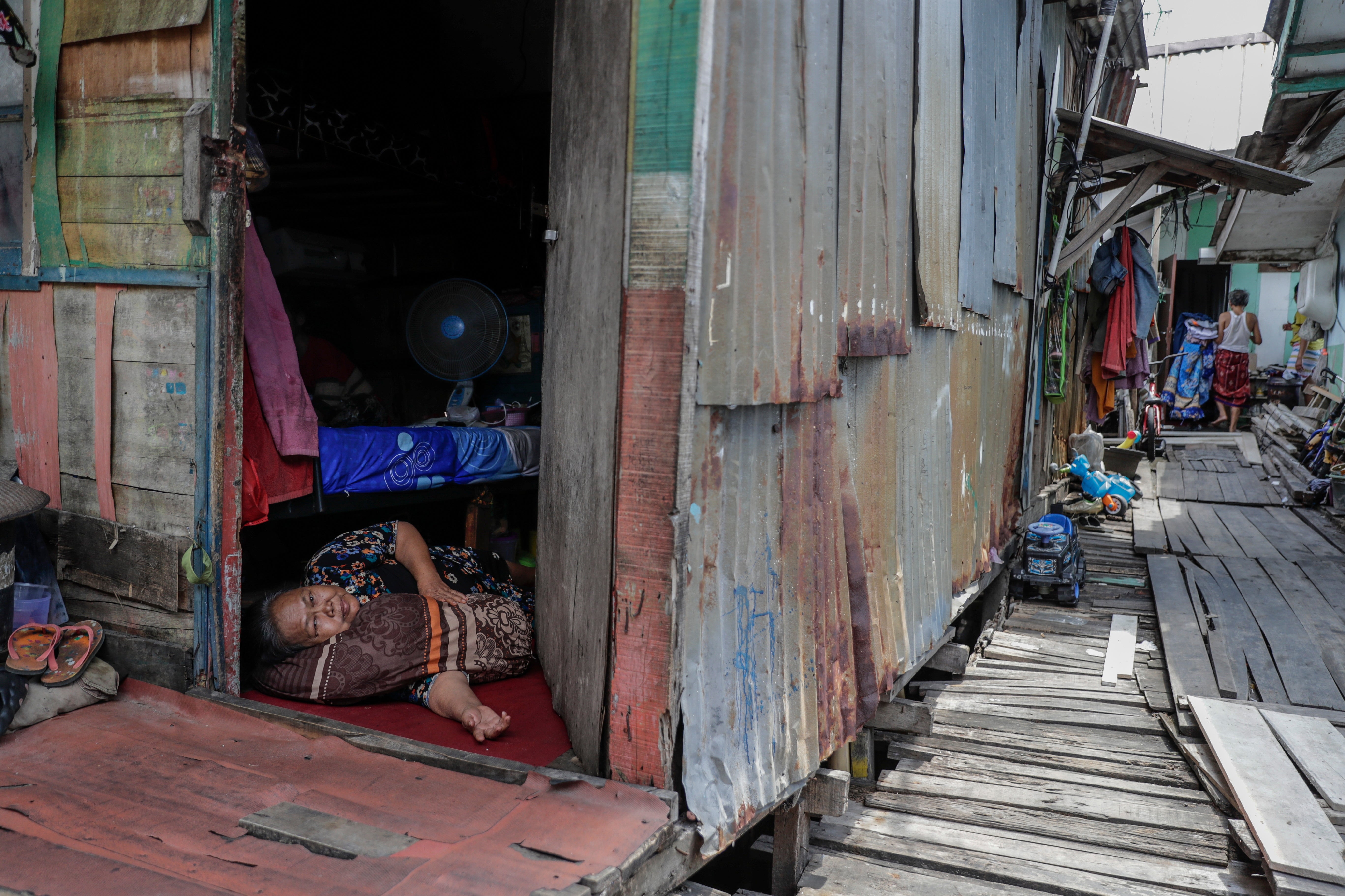
Jumadi Guthafsitom, 40, grew up in Muara Bar, a slum area of North Jakarta, and today works at the local fish market. He and his father are among thousands of Jakartans who have been forced out of their homes to safer areas further away from the encroaching water.
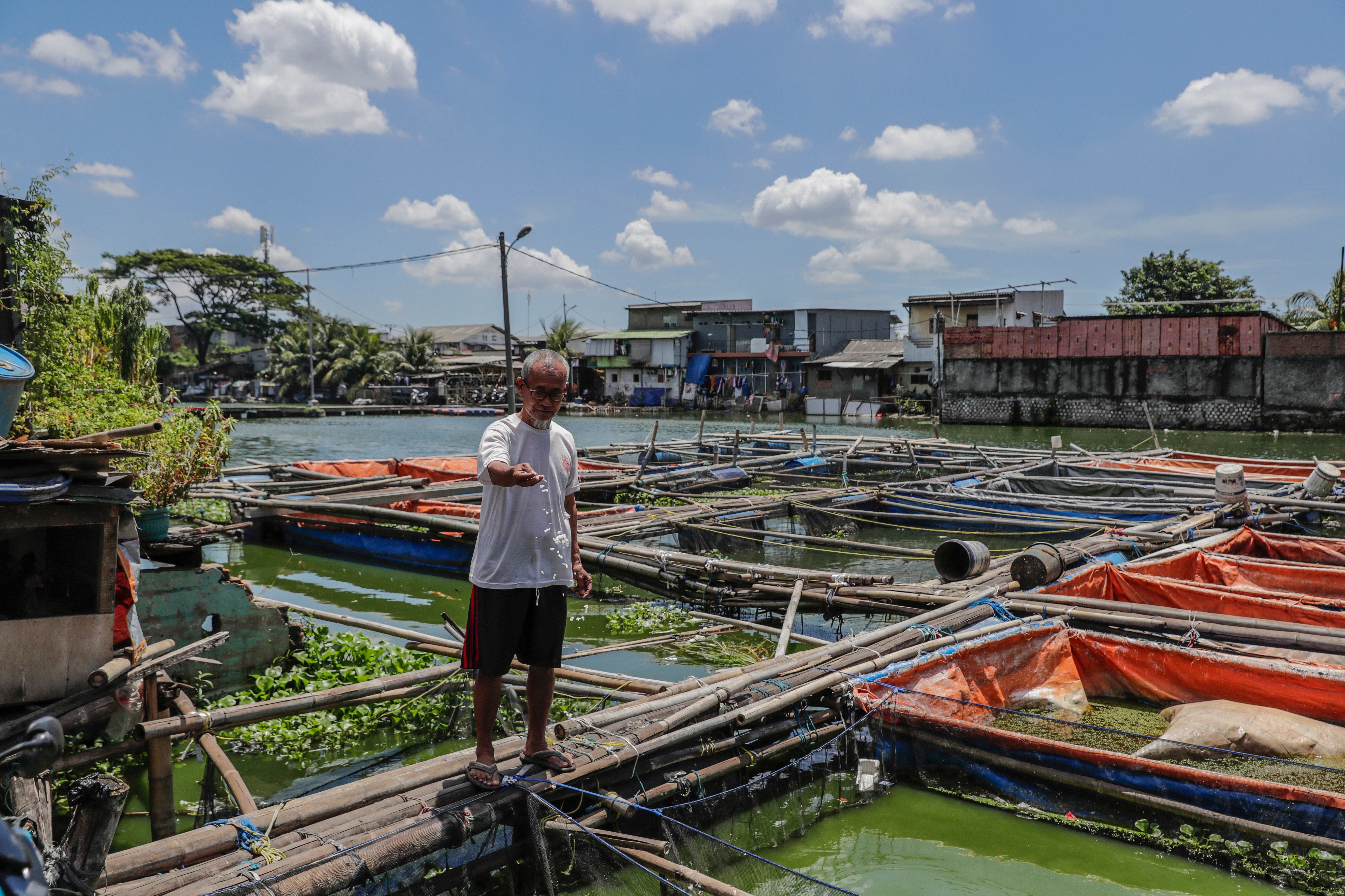
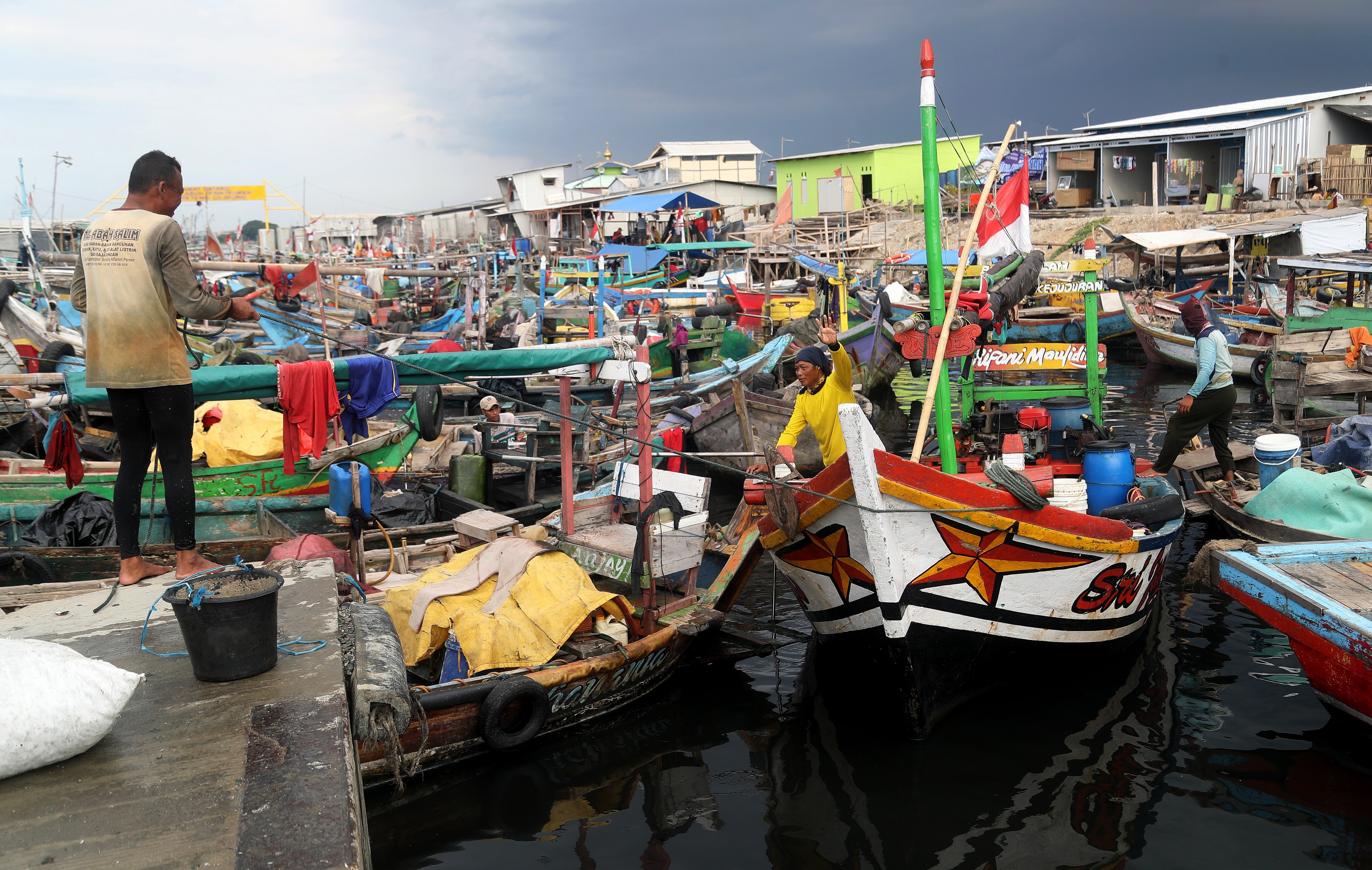
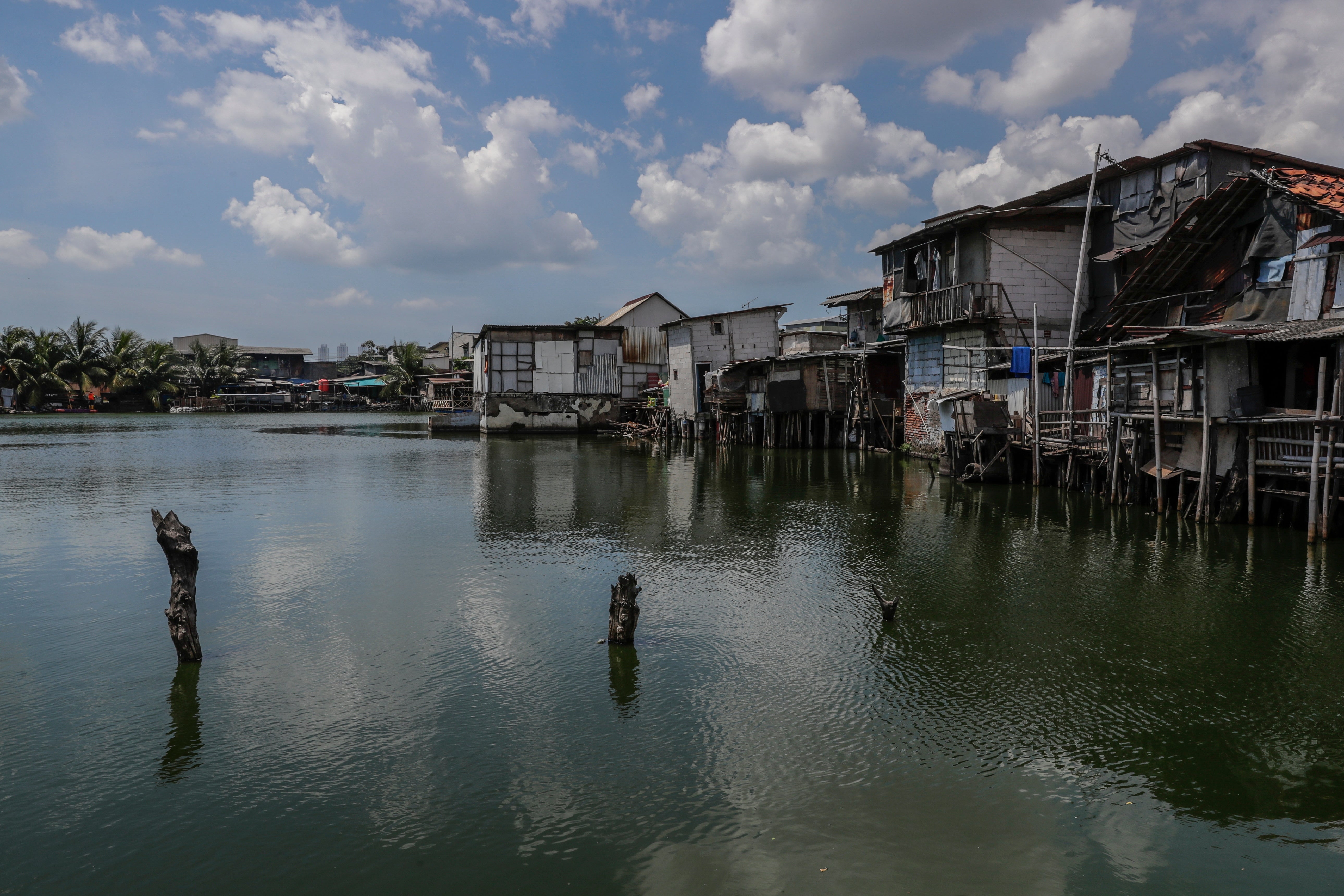
Residents of West Jakarta face similar challenges. The village that Susnadi, 58, grew up in used to be on dry land, but massive construction projects over the past 20 years have caused the area to sink further below sea level, leading to severe flooding every year.
Faced with the rampant urban development – coupled with rising sea levels triggered by ever-warming global temperatures – the residents of this slum have been forced to adapt, using stilts to raise their houses above the water, but they were powerless to save the surrounding land they used to grow crops.
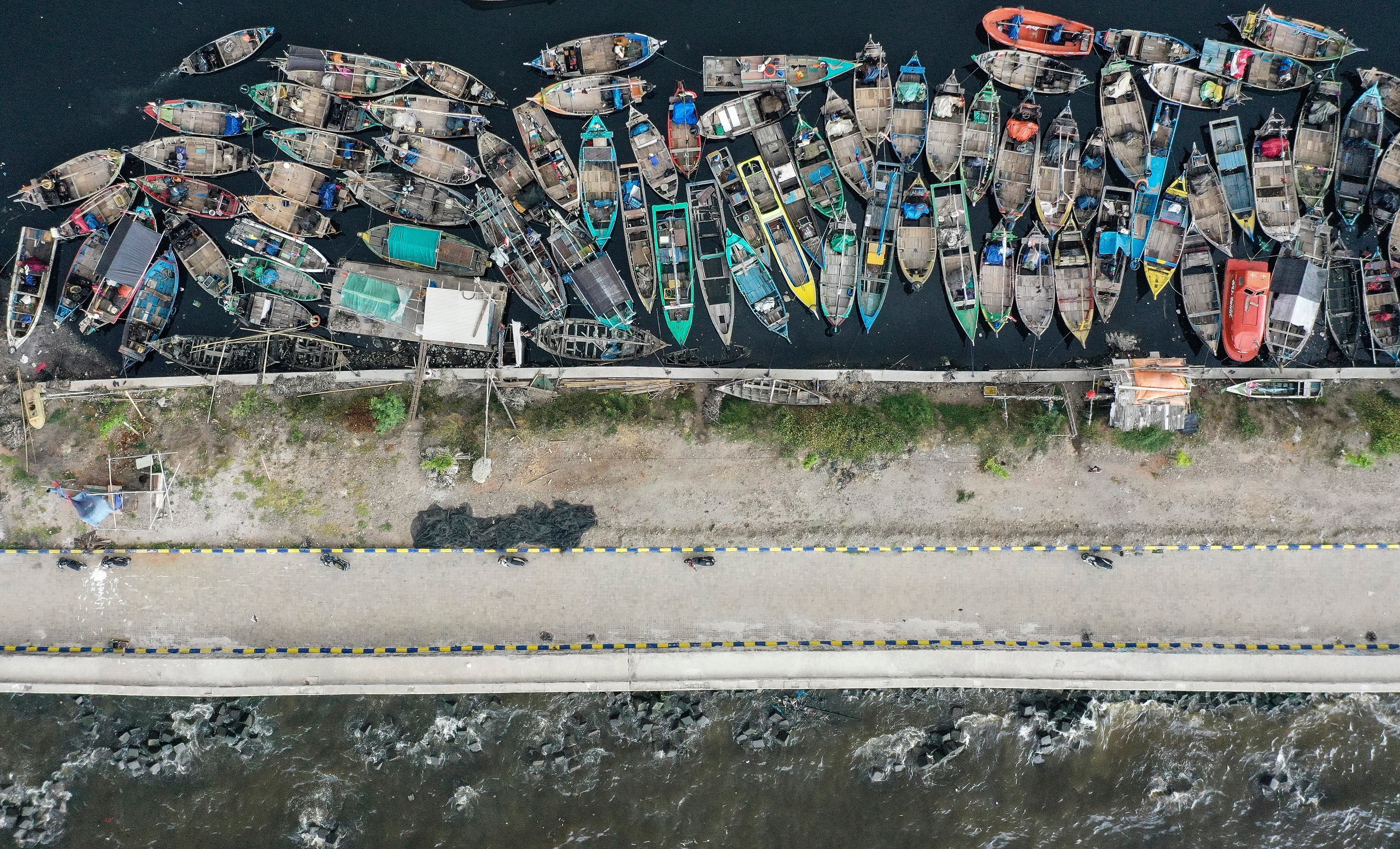
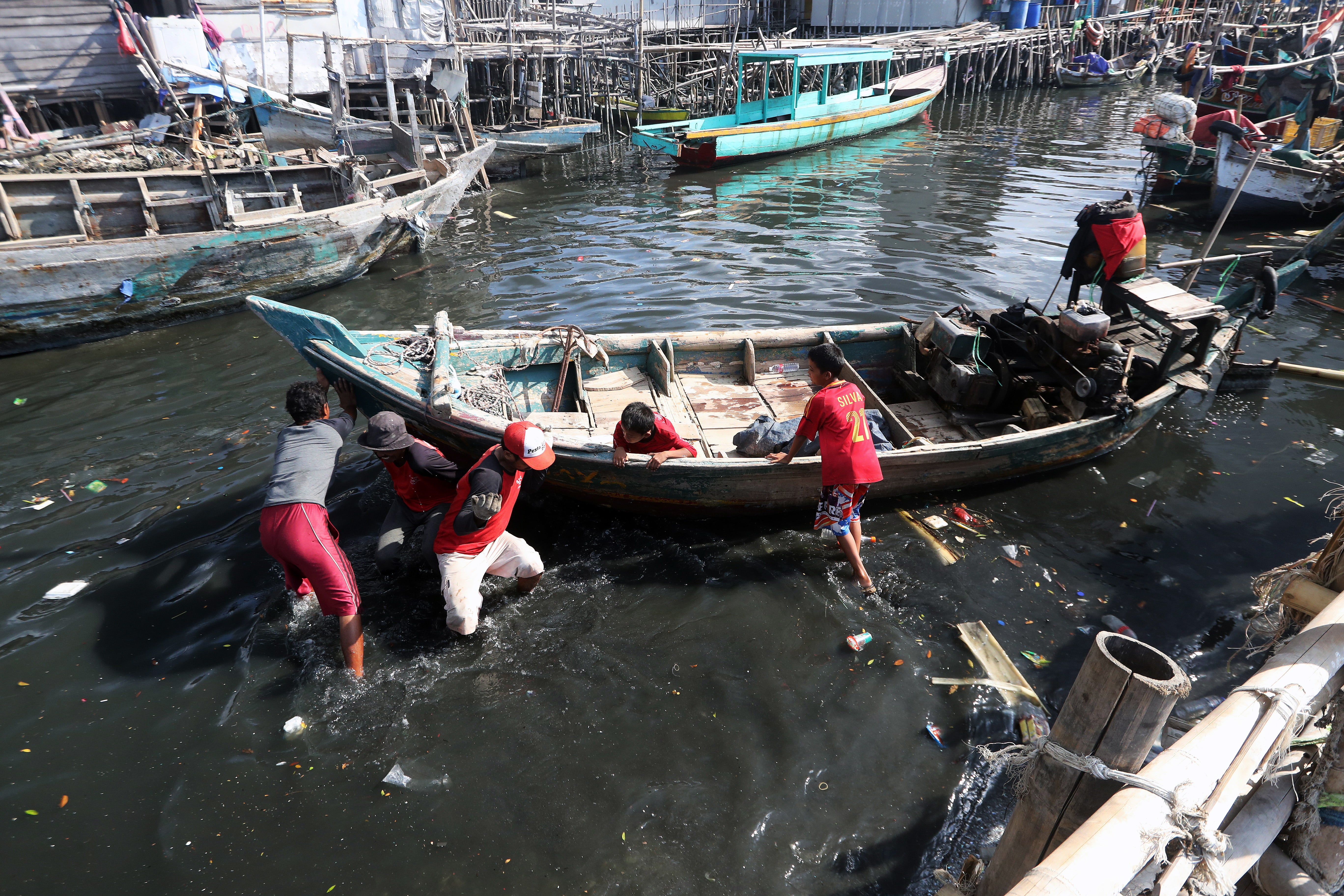
“It was once a beautiful place, with a lot of trees,” Susnadi says. “Then there was a lot of construction and development, the area behind the village was a paddy field and turned to swamp, they levelled up the ground and turned it into warehouses.”
The sinking is so severe that Indonesian president Joko Widodo announced in 2019 that the government was moving the capital city 2,000km away to East Kalimantan on Borneo island.
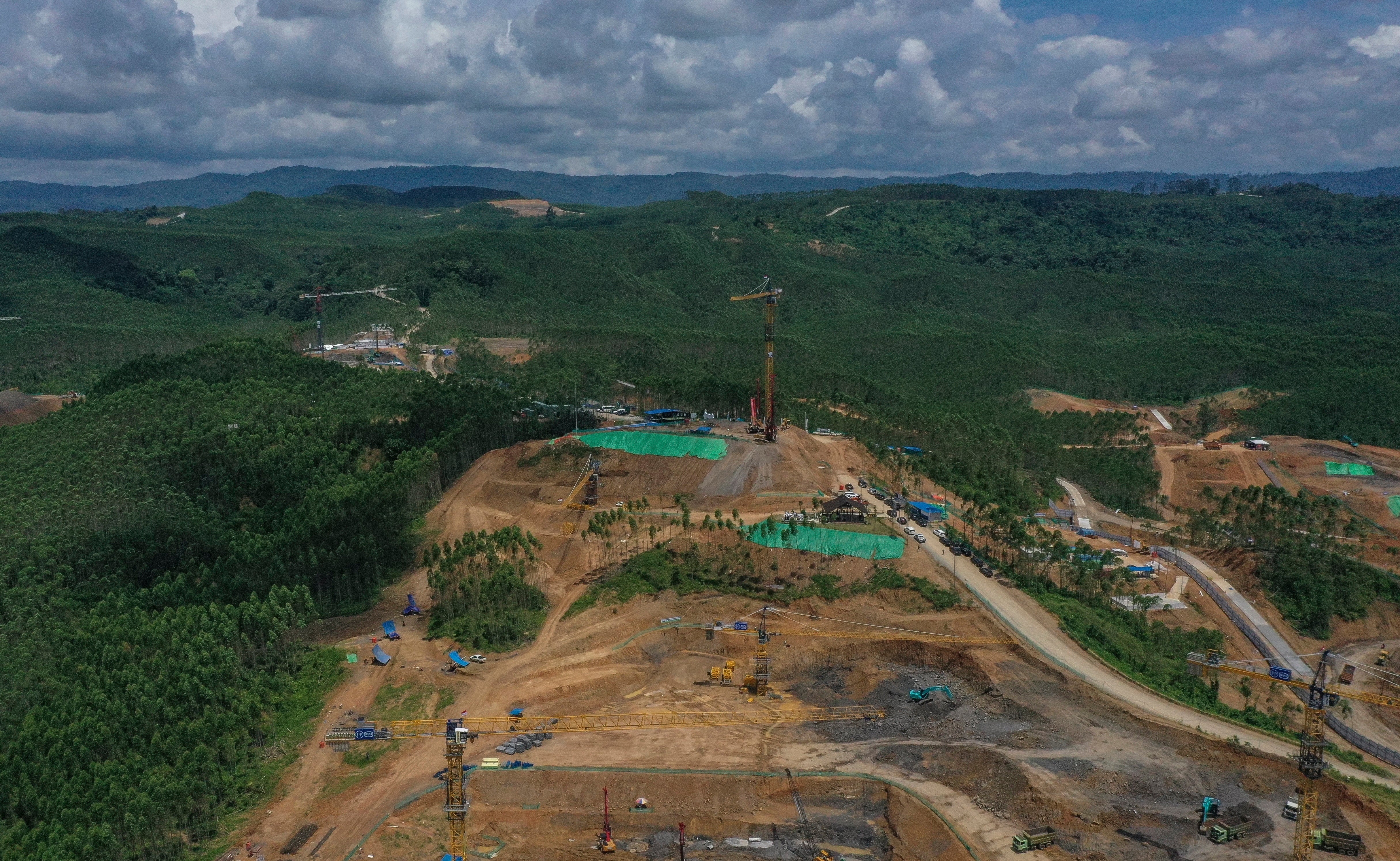
The new capital Nusantara is currently being built, raising concerns over the construction’s impacts on the environment and local indigenous peoples.
Sibukdin, 58, leader of the Balik Indigenous community in Sepaku, is worried that the massive building project will displace indigenous people whose livelihoods depend on the land and the forest.
“I hope the government pays more attention to our community. We are also humans who have the same rights. We want justice for everyone,” says Sibukdin.
While Rusli, a fisherman in nearby Balikpapan Bay, supports the plan to move the capital city to Nusantara, he hopes the government will give more consideration to communities that are likely to see their fishing grounds in the bay be heavily impacted by the construction project.
Coastal Communities Working Group executive director Mappaselle tells EPA that the development of the new capital city has reduced fishing areas and could force fishermen to find new, more dangerous waters outside the bay, where their vessels are at risk from choppier seas.
EPA
Join our commenting forum
Join thought-provoking conversations, follow other Independent readers and see their replies
Comments