UK weather: Met Office shares update on when snow will clear
Temperatures continue to plummet amidst Arctic blast as UK swept by snow and ice

For free real time breaking news alerts sent straight to your inbox sign up to our breaking news emails
Sign up to our free breaking news emails
The snow covering most of the UK will gradually start clearing southeast throughout the morning, the Met Office has said in its latest forecast.
Following snowfall across northern England on Thursday morning, snow will continue to fall throughout the afternoon and overnight into early Friday morning.
But by lunchtime, most areas will have cleared, leaving behind sunny spells with scattered snow showers in the north and east, the forecaster says. However, the far southwest is expected to remain cloudy.
Tonight, northern Scotland will see snow showers, while the far southwest is likely to experience cloudy conditions with outbreaks of rain and hill snow.
The rest of the UK will have clear spells, but with a severe frost over any lying snow.
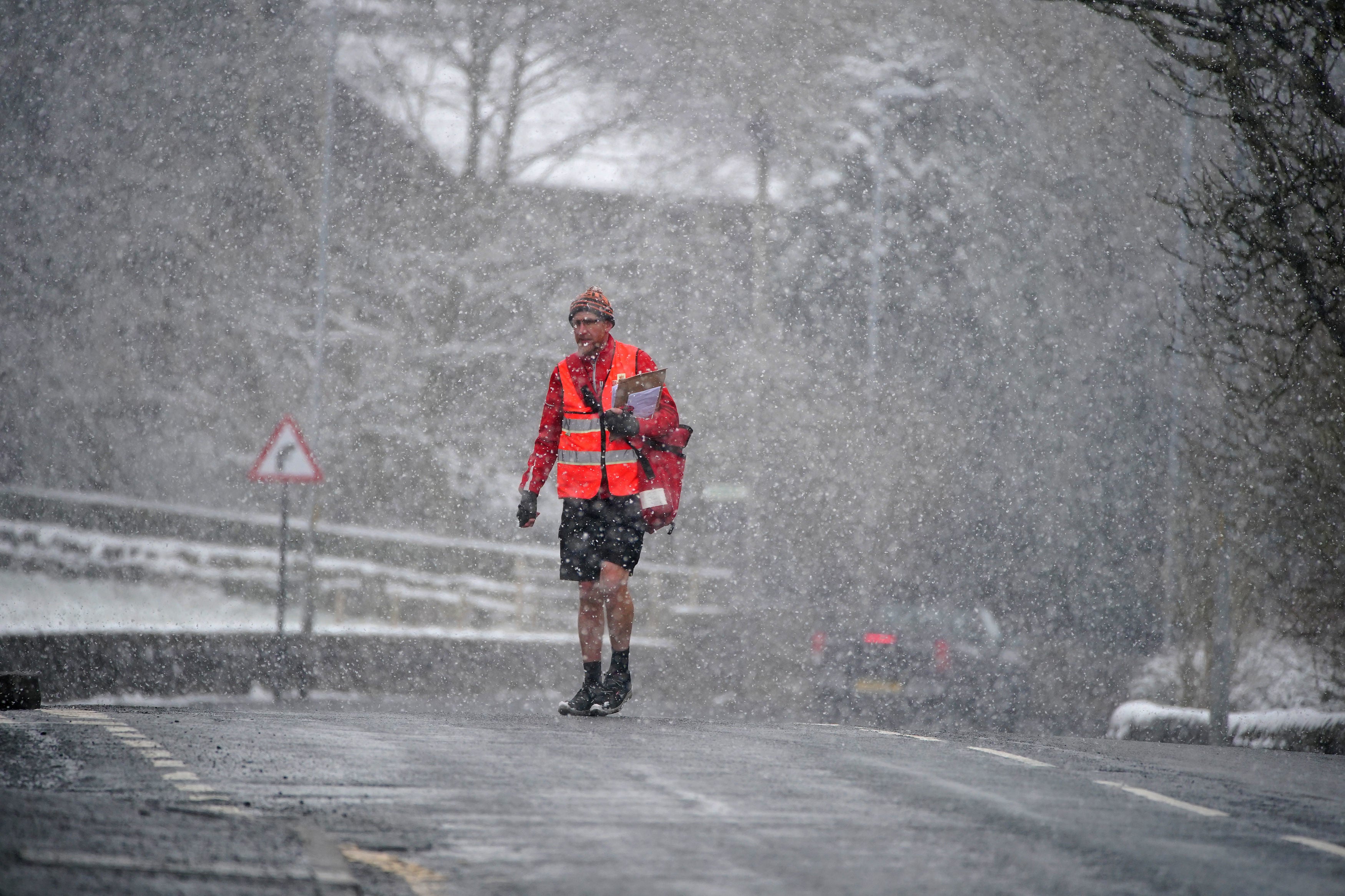
As temperatures continue to plummet amidst the Arctic blast, areas across the UK have been swept by snow and ice, with the Met Office issuing weather warnings across England, Scotland, Wales and Northern Ireland.
All areas north of Birmingham have been issued with a combination of yellow and amber warnings.
Looking ahead to Saturday, the southwest will see cloudy conditions and outbreaks of rain and snow moving slowly northeast. Before this arrives, the north can expect cold but sunny spells with a few snow showers.
Sunday is expected to begin clear and mostly dry. The weather will then take a turn, as heavy rain and some areas of light snow will move in over the UK.
In the evening, snowfall is expected over Scotland and some areas of Northern England. These showers will remain overnight.
Subscribe to Independent Premium to bookmark this article
Want to bookmark your favourite articles and stories to read or reference later? Start your Independent Premium subscription today.
Join our commenting forum
Join thought-provoking conversations, follow other Independent readers and see their replies