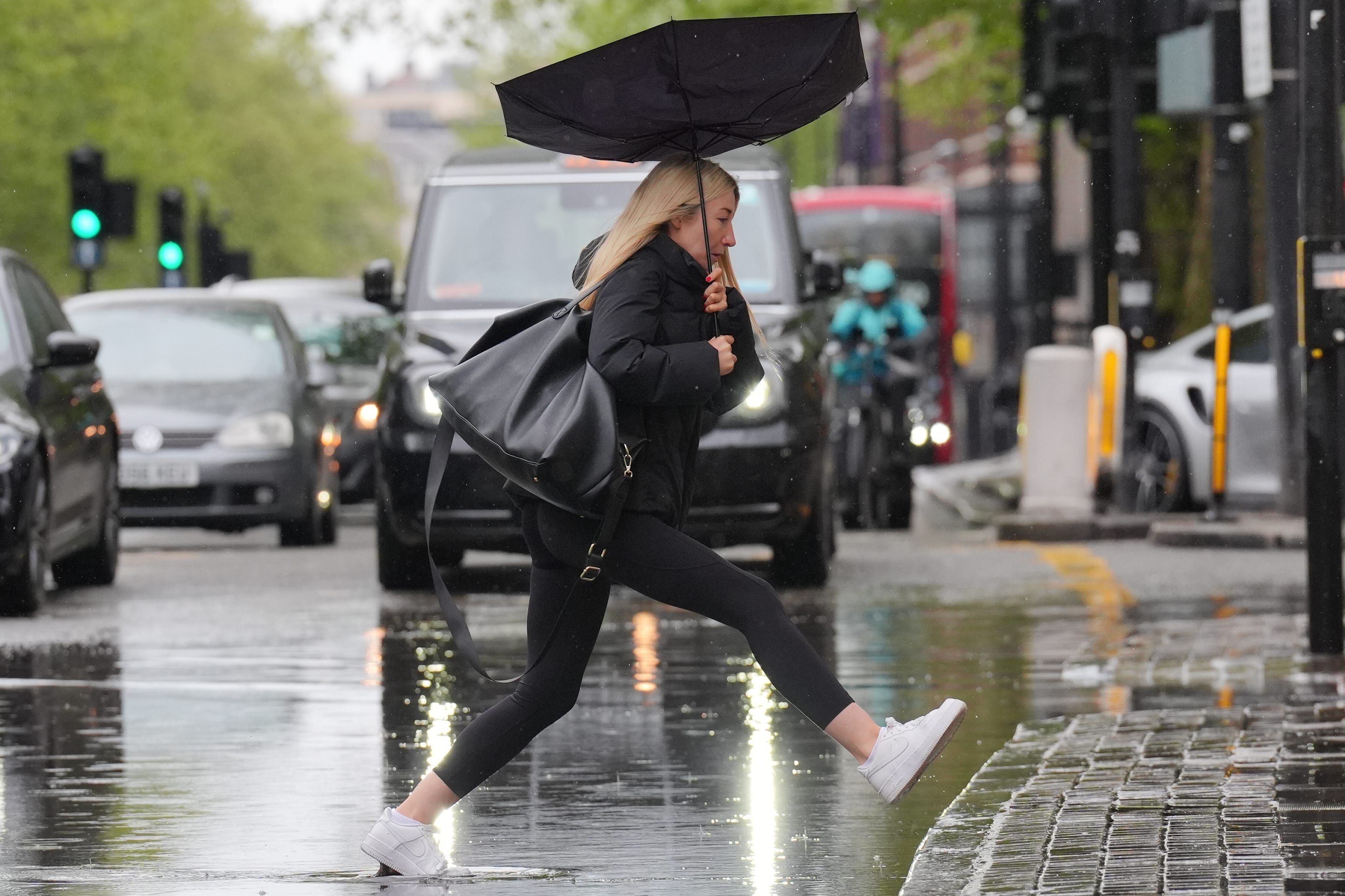
Met Office reveals when cold snap will end as temperatures set to hit 20C
Temperatures are expected to rise towards the 20s through the week
Your support helps us to tell the story
This election is still a dead heat, according to most polls. In a fight with such wafer-thin margins, we need reporters on the ground talking to the people Trump and Harris are courting. Your support allows us to keep sending journalists to the story.
The Independent is trusted by 27 million Americans from across the entire political spectrum every month. Unlike many other quality news outlets, we choose not to lock you out of our reporting and analysis with paywalls. But quality journalism must still be paid for.
Help us keep bring these critical stories to light. Your support makes all the difference.
The April cold snap is set to end this week after a washout weekend with temperatures rising to 20C within days, the Met Office has said.
Up to 30mm of rain fell over south-east England over the weekend, more than half the average amount for this time of year. Temperatures peaked at 13C across the UK on Sunday, with London temperatures hitting 7C.
But patches of sunshine are expected to warm up the same regions through the week, getting hotter each day before temperatures peak on Thursday.
On Monday and Tuesday in London and in parts of the southeast, temperatures are set to reach up to 17C, before potentially hitting 20C on Thursday. It is expected to be warmer in the west of the UK as well but with showers continuing into the week.
Areas north of Newcastle, particularly the east coast of Scotland, will see the chilliest weather.

“We will see an east-west split in the weather across the UK,” said Marco Petagna, a meteorologist at the Met Office. “Outbreaks of rain at times out towards the west. Some of that turning heavy and moving north into Scotland as we heard through the course of the afternoon.
“As we head into the evening, we hold on to further outbreaks of rain towards the north and west. So again it’s the south-east of the UK as we go through Monday night that will see the clearest of these skies.”
Senior meteorologist at the Met Office Amy Bokota added: “Temperatures have been below average for the last couple of weeks, so certainly by the time we get to Wednesday, and probably into next weekend, temperatures will be warmer.
“It might not be the sort of glorious sort of heatwave that we’re hoping for … but there probably will be some more pleasant and warmer weather for some people as we head towards the end of the week.”
This warmer weather comes after heavy rain interrupted sports matches and flood warnings were issued across the UK during the weekend.
Emergency services were called to assist two people inside a car that was submerged in around 50cm of floodwater under a railway bridge in Thurmaston, Leicester, on Sunday morning, Leicestershire Fire and Rescue Service said.
Cricket matches across the country were postponed or cancelled over the weekend because of the rain and soggy grounds, including Vitality County Championship games in County Durham, Yorkshire and Leicester.
The Environment Agency issued several flood warnings for Sunday, meaning flooding was expected, including in St Ives in Cornwall, areas on the River Wreake in Leicestershire, Water Eaton Brook at Water Eaton and several towns on the Isle of Wight.
So far this month, the maximum temperature recorded has been 21.8C in Writtle, Essex, on April 13 with a low of minus 6.3C recorded in Shap, Cumbria, on April 26 and a UK-wide average of 8.4C, according to the Met Office.
Grey skies and wet weather meant April may have felt unusually cold despite temperatures being higher than average for the time of year, the organisation said.

Join our commenting forum
Join thought-provoking conversations, follow other Independent readers and see their replies
Comments