UK weather forecast: Will it snow today and where?
Multiple weather warnings are in place across the UK

For free real time breaking news alerts sent straight to your inbox sign up to our breaking news emails
Sign up to our free breaking news emails
Snow storms with “blizzard conditions” are set to hit parts of the UK as temperatures plunge to -15C again overnight.
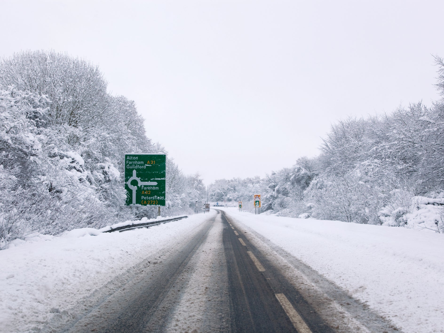
Yellow weather alerts for snow and ice are currently in place across large parts of the UK, with Wales, the Midlands and East Anglia among the areas being warned of snowfall on Wednesday evening.
One yellow alert, which warns snow showers and travel disruption are likely, covers northern parts of Scotland, where the Met Office says temperatures could drop to -15C overnight. The warning is in place from 6pm on Wednesday until 10am on Thursday.
Another area set to see snow on Wednesday night stretches from Edinburgh to Newcastle and covered by the weather warning from 5pm on Wednesday until 7am on Thursday.
A large chunk of England and Wales has also been issued with a yellow snow and ice alert from Wednesday morning until 7am on Thursday. This warning stretches across Yorkshire, the Midlands, London, Bristol, East Anglia and Wales.
Meanwhile, on Thursday the forecasters have predicted “strong winds bringing blizzard conditions” in parts of the UK, with up to 40cm of snow set to fall in some areas. The amber alert covers Stoke-on-Trent to Durham.
The warning lasts for 21 hours from 3pm on Thursday and says it is likely there will be “significant disruption” to transport, power lines and phone network coverage is likely.
Tuesday marked the coldest night of the year so far, and more sub-zero overnight temperatures are expected in all four UK nations in the coming days.
Temperatures at Kinbrace in the Highlands dropped to this year’s low of minus 15.4C overnight – the lowest March temperature recorded since 2010, the Met Office said.
National Highways warned drivers in the West Midlands and the east of England not to travel unless their journey is essential.
Around 200 schools had to close their doors on Wednesday after four inches of snow fell in the south, west and parts of Wales.
Met Office Chief Meteorologist, Matthew Lehnert, said: “The boundary between milder and colder air will slowly move north through Wednesday and overnight, moving the chances of snow further north with it.
“Snow will have settled quite widely in central parts of the UK as we move into Thursday morning leaving tricky conditions for the morning travel period.
“It will be another very cold night, especially under clear skies in Scotland where temperatures could get down to -15C again tonight.
“An amber warning for snow has been issued for the high ground running north in the centre of northern England as snow redevelops through the course of Thursday and persist until early Friday. Here we could see up to 40cm of snow accompanied by strong winds causing blizzard conditions.”
Subscribe to Independent Premium to bookmark this article
Want to bookmark your favourite articles and stories to read or reference later? Start your Independent Premium subscription today.
Join our commenting forum
Join thought-provoking conversations, follow other Independent readers and see their replies