Mount Agung: Alert status lowered by Indonesian authorities as volcano activity slows down
More than 140,000 people displaced by eruption fears told they can return home safely by government

For free real time breaking news alerts sent straight to your inbox sign up to our breaking news emails
Sign up to our free breaking news emails
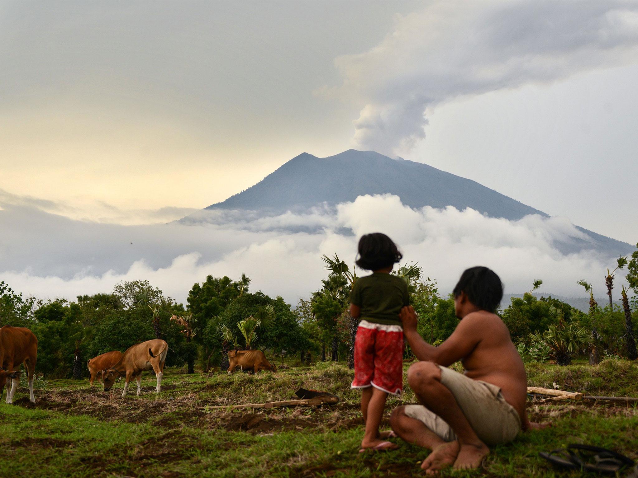
Indonesian authorities have lowered the alert status of Bali's Mount Agung volcano after scientists found a reduction in its activity.
More than 140,000 people have fled the area surrounding the mountain after authorities warned an eruption may be imminent in September.
However, the decision was taken on Saturday to downgrade Agung’s status after several scientific indicators showed a decrease in activity over the past month.
"People's activities as well as tourism in Bali has been declared safe and there will no more disruption related to the volcano at this time," Indonesian energy minister, Ignasius Jonan, said in a statement.
Indonesia’s volcano agency said smoke and tremors from the 3,031-metre-tall volcano, which indicate rising magma, have reduced significantly, but Agung remained on the second-highest alert level.
The agency said villagers living on the mountain’s slopes could return home, but warned them not to venture close to its crater, which was still emitting smoke.
The radius of the volcano's danger zone has also been reduced from 3.7 miles to 2.4 miles from its crater.
Indonesian officials first raised the eruption alert to its highest possible level five months ago, when seismic activity increased at the mountain.
The activity decreased by late October, and the alert was lowered before being lifted to the highest level again in late November, forcing more than 55,000 people out of their homes and into temporary shelters.
Tourists, who were stranded when the island's only airport closed for nearly three days, joined the rush to leave the area.
Bali's Mount Agung volcano eruption: in pictures
Show all 22Agung, located around 45 miles northeast of Bali's tourist hotspot of Kuta, last erupted in 1963, killing about 1,100 people.
It is one more than 120 active volcanoes in Indonesia, which is prone to eruptions and earthquakes due to its location on the "Ring of Fire", a series of fault lines stretching from the Western Hemisphere to Japan and Southeast Asia.
Additional reporting by Associated Press
Subscribe to Independent Premium to bookmark this article
Want to bookmark your favourite articles and stories to read or reference later? Start your Independent Premium subscription today.
Join our commenting forum
Join thought-provoking conversations, follow other Independent readers and see their replies