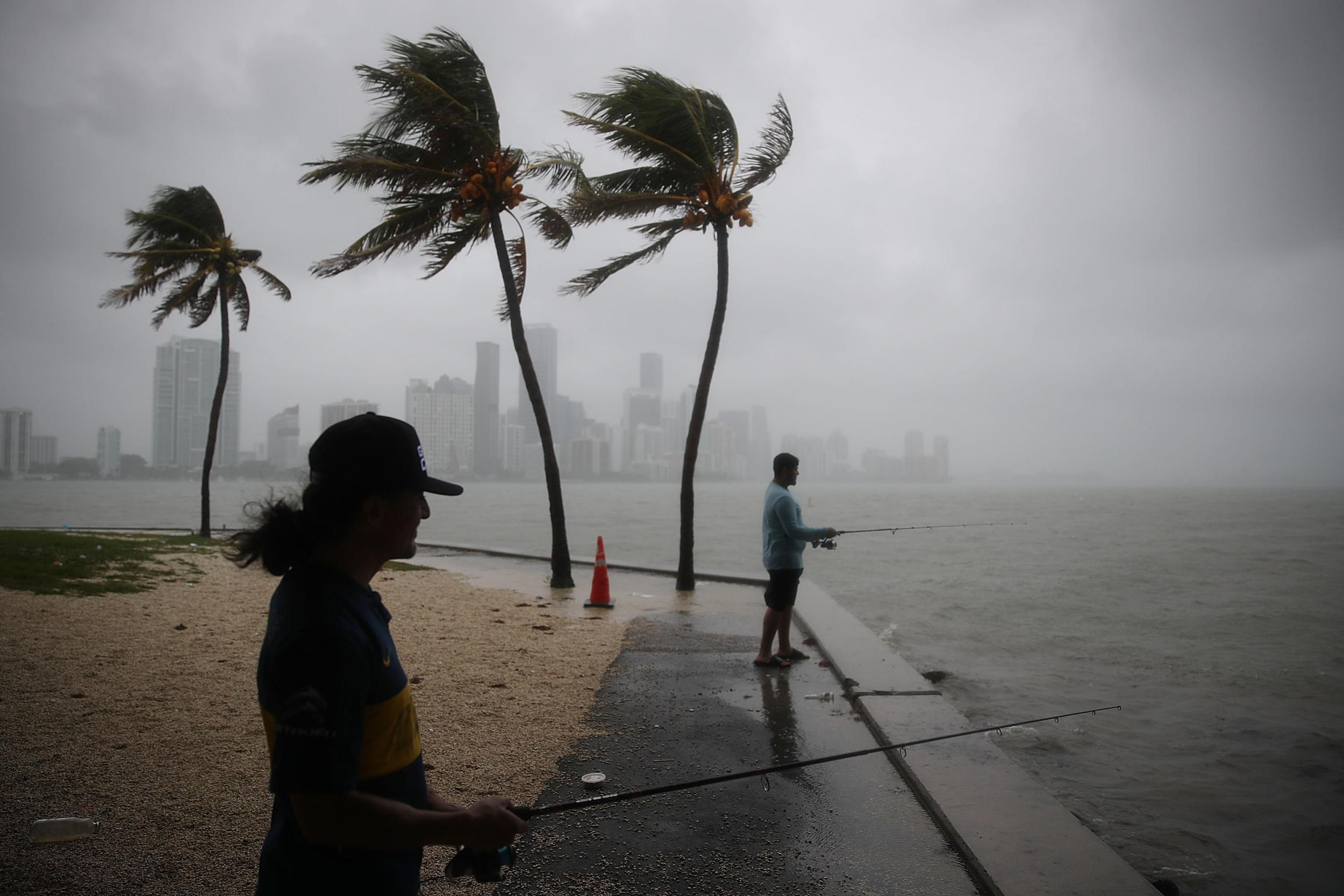
Walter Augier (L) and Jhon M. fish as rain and wind are whipped up by Tropical Storm Gordon (Joe Raedle/Getty Images)
The latest headlines from our reporters across the US sent straight to your inbox each weekday
Your briefing on the latest headlines from across the US
Residents of the US gulf states are bracing for the onset of Tropical Storm Gordon, which could become the first Atlantic hurricane to make landfall this season.
Gordon was expected to strike near Mississippi on Tuesday, according to the US National Hurricane Centre (NHC). The storm, which has sustained wind speeds of up to 65 mph (100 km/h), could bring life-threatening flash floods and storm surges to much of the north-central Gulf Coast this week.
A hurricane warning was in effect from the northern coast of Mississippi to the border of Alabama and Florida on Tuesday afternoon, while a tropical storm warning extended westward into Louisiana. The NHC also issued a storm surge warning from Louisiana to Alabama, suggesting there could be a serious inundation of water from the coastline.
The NHC predicted four to eight inches of rain to fall over the surrounding states, with a maximum of 12 inches hitting some areas.
Meanwhile, Hurricane Florence – the third Atlantic hurricane of the 2018 season – was making its way over the Atlantic Ocean. The storm was located more than 1,000 miles from Lesser Antilles on Tuesday morning, and posed no threat of landfall through the weekend.
Bringing aid to Puerto Rico
Show all 20
Several schools in the gulf states cancelled classes on Tuesday in anticipation of Gordon making landfall. The governors of Mississippi, Alabama and Louisiana declared states of emergency, with Louisiana governor John Bel Edwards saying he would deploy 200 National Guard troops to the southeastern part of the state, according to the Associated Press.
The storm was expected to move in a northwestern direction after making landfall, moving inland over the lower Mississippi Valley on Tuesday night and early on Wednesday. It was just 145 miles east-southeast of the mouth of the Mississippi River on Tuesday morning, according to the Washington Post, moving forward at 15 mph. Forward motion was expected to slow slightly after the storm made landfall.
The Federal Emergency Management Agency urged residents of affected areas to finish their preparations quickly on Tuesday, and to keep an eye on updates throughout the day.
"This is a life-threatening situation," the NHC said. "Persons located within these areas should take all necessary actions to protect life and property from rising water and the potential for other dangerous conditions."
Join our commenting forum
Join thought-provoking conversations, follow other Independent readers and see their replies

Join our commenting forum
Join thought-provoking conversations, follow other Independent readers and see their replies