Storms batter southern England as flooding causes travel disruption
A thunderstorm warning has come into effect for southern England as downpours continue across parts of the UK.

For free real time breaking news alerts sent straight to your inbox sign up to our breaking news emails
Sign up to our free breaking news emails
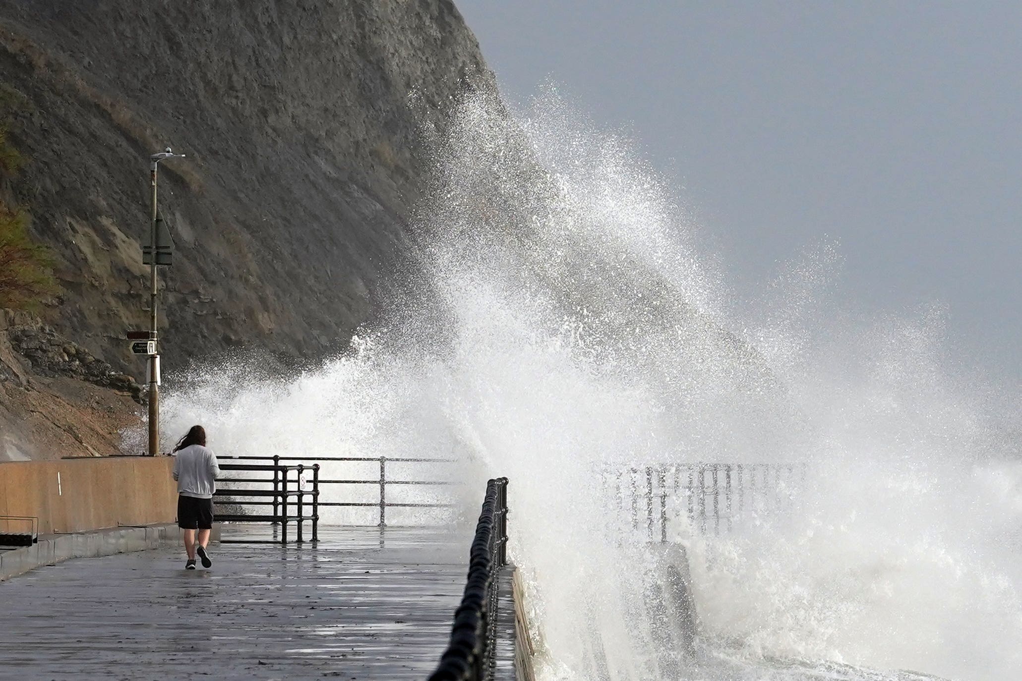
Southern England has been battered with stormy weather on Tuesday as flooding causes travel disruption.
A thunderstorm warning was in place for southern England from 5am until noon, with downpours across parts of the UK.
Overrunning overnight engineering works delayed commuters between Bracknell and Wokingham in Berkshire, with slippery rails also causing delays between Nottingham and Mansfield.
Further north, heavy flooding has caused the railway station at Carnforth, Lancaster, to close until midday, while ScotRail implemented blanket speed reductions across its services on Tuesday morning.
There were also reports of trees being downed, including one in Tower Hamlets, London.
On Tuesday afternoon, the Environment Agency had 14 flood warnings in place, meaning flooding is expected, with 101 lesser flood alerts also active.
Areas of concern include the River Ouse in York and the River Vyrnwy near the border between Wales and Shropshire.
Met Office meteorologist Marco Petagna said Storm Debi is expected to clear away from the UK to the east in the early hours of Tuesday, but “wet and windy weather” should linger.
He said that “heavy and potentially thundery showers” will move eastwards across the south of England.
“We could see 15-20mm, almost an inch, of rain across some southern counties of England combined with fairly gusty winds as well,” he said.
“A week’s worth of rain could fall in an hour or two in that warning area and you could see wind speeds of 40-50mph.
“If you are in that warning area, it is going to be quite tricky (to travel).
“Allow extra time to travel and keep tuned to the forecast overnight.
“If you are out and about, take extra care and be prepared to see thundery showers.”
A “very active” jet stream has been the cause of much of the wet weather, Mr Petagna said, as he warned it shows “no sign” of stopping in the next week.
He warned that much of the UK is “in the firing line”, with “pretty unsettled” weather expected over the next week.
Despite the wet weather, fairly normal temperatures for this time of year of 9-12C are expected.
Subscribe to Independent Premium to bookmark this article
Want to bookmark your favourite articles and stories to read or reference later? Start your Independent Premium subscription today.