Weather bomb: What is explosive cyclogenesis, and will it affect the UK?
Waves as high as 18metres will form out at sea
Your support helps us to tell the story
From reproductive rights to climate change to Big Tech, The Independent is on the ground when the story is developing. Whether it's investigating the financials of Elon Musk's pro-Trump PAC or producing our latest documentary, 'The A Word', which shines a light on the American women fighting for reproductive rights, we know how important it is to parse out the facts from the messaging.
At such a critical moment in US history, we need reporters on the ground. Your donation allows us to keep sending journalists to speak to both sides of the story.
The Independent is trusted by Americans across the entire political spectrum. And unlike many other quality news outlets, we choose not to lock Americans out of our reporting and analysis with paywalls. We believe quality journalism should be available to everyone, paid for by those who can afford it.
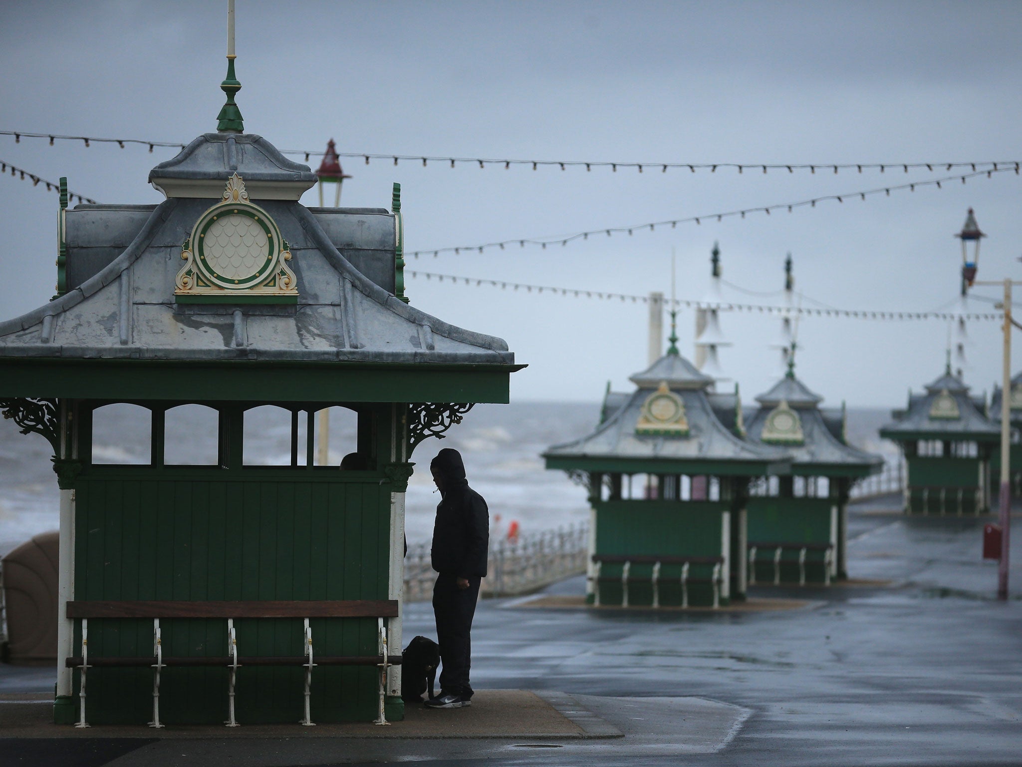
Your support makes all the difference.Meteorologists have warned the UK to brace itself for a barrage of bad weather this week, with some predicting a “weather bomb” which could send 80mph winds sweeping across rural areas.
We explain what the scarily militant-sounding term means.
I’ve never heard of a weather bomb before, what’s going on?
The term ‘weather bomb’ was imported from the US and New Zealand. UK forecasters usually opt for the marginally less terrifying term: “explosive cyclogenesis”.
What’s the difference between a normal storm and a ‘weather bomb’?
When storms quickly intensify and pressure rapidly drops in the centre - by 24millibars in a 24-hour period - this is classed as a weather bomb.
So, when dry air from the stratosphere flows into an area of low pressure, air within the depression rises very quickly and increases its rotation - creating vigorous storms.
Are we in for a week of nightmarish weather?
A cyclogenesis system is moving far north of the UK and is expected to pass over Ireland as it moves slowly towards Iceland.
Despite the distance, the UK could be hit with a batch of windy, wet ‘bombs’ on Thursday, with snow possible in Scotland, according to ITV News. Potentially damaging strong winds and ferocious waves are expected in northern Scotland tonight into tomorrow.
In the open ocean, some waves could reach up to 18m, but will lose energy towards the shore, according to BBC News.
However, a Met Office spokesperson told The Independent that the forecast will likely change as the weather systems are highly unpredictable.
Should I prepare for a repeat of the chaos caused by last year’s floods?
Thankfully, it is highly unlikely that the weather will be as severe, and it is not unusual to have stormy weather on the north Atlantic at this time of year.
Join our commenting forum
Join thought-provoking conversations, follow other Independent readers and see their replies
Comments