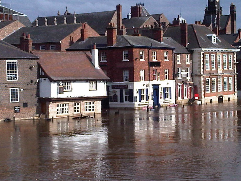
Warnings of flash floods as Britain set for a 'real soaking'

Your support helps us to tell the story
From reproductive rights to climate change to Big Tech, The Independent is on the ground when the story is developing. Whether it's investigating the financials of Elon Musk's pro-Trump PAC or producing our latest documentary, 'The A Word', which shines a light on the American women fighting for reproductive rights, we know how important it is to parse out the facts from the messaging.
At such a critical moment in US history, we need reporters on the ground. Your donation allows us to keep sending journalists to speak to both sides of the story.
The Independent is trusted by Americans across the entire political spectrum. And unlike many other quality news outlets, we choose not to lock Americans out of our reporting and analysis with paywalls. We believe quality journalism should be available to everyone, paid for by those who can afford it.
Your support makes all the difference.Parts of Britain might be in the middle of a drought, but some areas of England and Wales are braced for the possibility of flash floods this weekend as the deluge continues at the end of a week of heavy rain.
Warnings of localised flooding have been issued in parts of the South West, South East and Midlands, as well as East of England and Wales for Sunday as the wet weather moves across the country.
The flood warnings follow the wettest week in Wales and England since December.
Forecasters have given another rain-soaked forecast for next week with little sign of the weather improving.
In a stark contrast to the hosepipe ban and drought warnings, many areas of England and Wales have seen heavy rain and thundery conditions during this week.
An unusually wet April week saw 42mm (1.7in) of rain fall in the South East and 55mm (2.2in) in the South West, which has now had 166% of the average rainfall for April.
Many of the areas at risk of flooding are actually currently considered to be in a state of drought following two unusually dry winters in a row.
The heavy rain, however, has made little difference in terms of the drought as groundwater levels have remained low.
The danger of flash flooding is related directly to the drought as soil, compacted and hardened by consistently dry weather, will not allow water to permeate it – the heavy rain therefore simply runs off the ground.
The Environment Agency said exceptionally low levels were still being recorded at almost half the groundwater sites they monitor.
Polly Chancellor, national drought co-ordinator for the Environment Agency, said: "We've had a lot of rain this past week, which is a welcome boost for farmers and gardeners, and has delayed the need for water companies to apply for further drought permits.
"But with the dry soils, most of this rain is either soaked up or, worse still, runs off quickly, causing flooding, as we have seen in some areas this week."
MeteoGroup forecasters at the Press Association have predicted there will be drizzle and light rain tomorrow, although the outlook is brighter in Northern England, Scotland and Northern Ireland.
A band of rain is set to push across the country on Sunday at which point Wales and England will get a 'real soaking'. Winds of up to 60mph are also predicted for some coastal areas.
Another band of rain could hit the country on Tuesday.
Up to 40mm of rain could fall in southern England, before it moves North with Scotland and Northern Ireland getting the worst of the rain on Sunday night.
Join our commenting forum
Join thought-provoking conversations, follow other Independent readers and see their replies
Comments