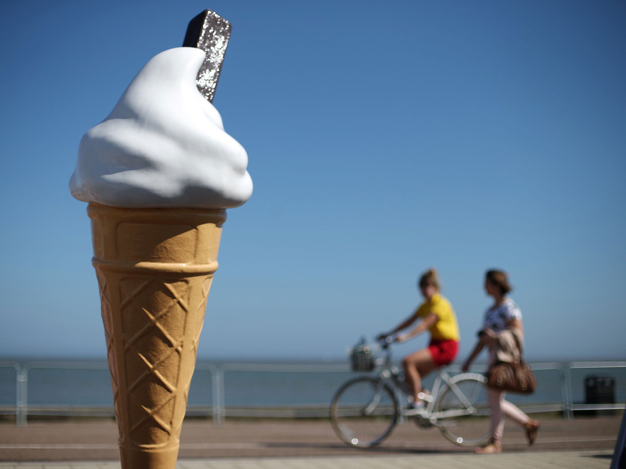
UK weather: Thunderstorms to put dampener on hottest day of the year
The thunderstorms will punctuate otherwise fine, dry weather across parts of the UK

Your support helps us to tell the story
From reproductive rights to climate change to Big Tech, The Independent is on the ground when the story is developing. Whether it's investigating the financials of Elon Musk's pro-Trump PAC or producing our latest documentary, 'The A Word', which shines a light on the American women fighting for reproductive rights, we know how important it is to parse out the facts from the messaging.
At such a critical moment in US history, we need reporters on the ground. Your donation allows us to keep sending journalists to speak to both sides of the story.
The Independent is trusted by Americans across the entire political spectrum. And unlike many other quality news outlets, we choose not to lock Americans out of our reporting and analysis with paywalls. We believe quality journalism should be available to everyone, paid for by those who can afford it.
Your support makes all the difference.Weather experts have issued a severe weather warning for Friday, as thunderstorms on what will likely be the hottest day of the year will be sandwiched in between spells of fine, dry weather.
Thanks to a tropical continental air mass coming up from France, temperatures around the south east, East Anglia and parts of the east coast could will soar as high as 26C – beating the current 2015 record of 25.6C set on 15 April, according to the Met Office.
But instead of blue skies, the heat will be accompanied by clouds, a muggy, humid climate and thunderstorms, which are expected to hit between 6am and midnight. Some areas will see lightning and as much as 15cm of rain in an hour, which could cause problems with surface water.
“Just because it’s warm doesn’t mean it will be sunny. It’s going to feel quite muggy,” Met Office spokeswoman Nicola Maxey told The Independent.
However, the weather on Thursday and over the weekend will be slightly above the June average of 17C. The south east and areas below the Midlands will enjoy the most pleasant temperatures, as the mercury is expected to soar into the early twenties.
And after the turbulence on Friday, the sunshine looks set to linger late into June.
Ms Maxey said: “The weather will stay fairly settled, fine and dry for many parts throughout much of next week, while winds moving around to the north east may make it a little cooler on the east coast where there will be a chance of perhaps the odd thunderstorms.”
She added that a high pressure front over Scotland in the second half of June, as we move towards July, will be bringing in periods of dry and fine weather to many parts.
“For much of June we’re looking at fairly fine, dry weather with temps around the average, and even slightly above. It does look as though we’re going to see some fairly nice early summer weather.”
Join our commenting forum
Join thought-provoking conversations, follow other Independent readers and see their replies
Comments