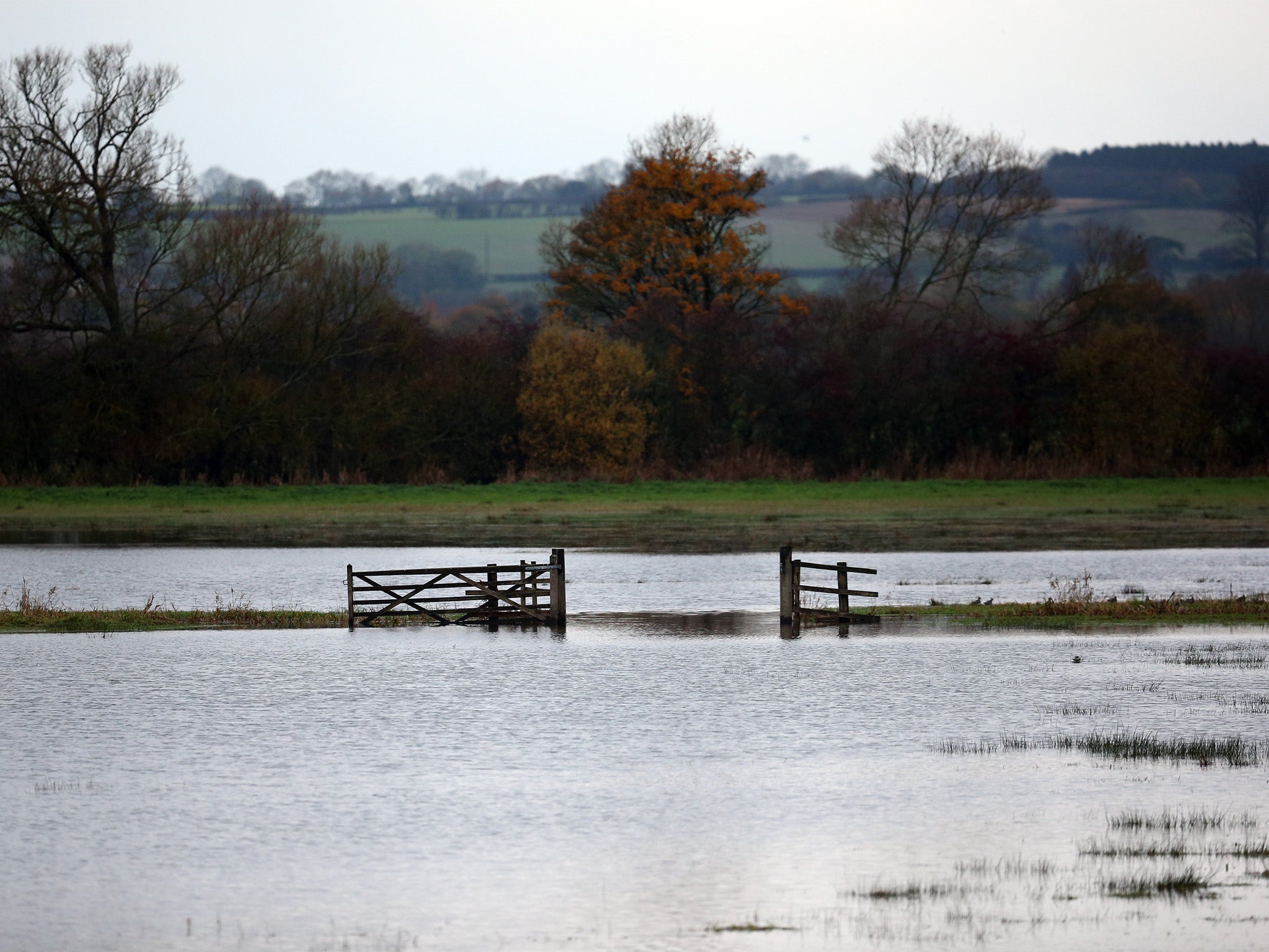
UK weather: Strengthening El Niño brings increasing risk of storms, mild wet weather and floods
The current El Niño is shaping up to be the strongest felt in nearly 20 years

Your support helps us to tell the story
From reproductive rights to climate change to Big Tech, The Independent is on the ground when the story is developing. Whether it's investigating the financials of Elon Musk's pro-Trump PAC or producing our latest documentary, 'The A Word', which shines a light on the American women fighting for reproductive rights, we know how important it is to parse out the facts from the messaging.
At such a critical moment in US history, we need reporters on the ground. Your donation allows us to keep sending journalists to speak to both sides of the story.
The Independent is trusted by Americans across the entire political spectrum. And unlike many other quality news outlets, we choose not to lock Americans out of our reporting and analysis with paywalls. We believe quality journalism should be available to everyone, paid for by those who can afford it.
Your support makes all the difference.The UK is facing a greater risk of floods and storms between now and January next year due to the effects the strongest El Niño in nearly two decades.
According to a Met Office report, which has been published as part of a three-month outlook for November to January for contingency planners within governments and agencies, “the risk of spells of windy or even stormy weather is expected to be greater than usual for the time of year,” along with higher-than-average rainfall, which could cause flooding across the UK.
Seasonal prediction systems have forecast that the current El Niño will strengthen over the next two months and the Met Office has said it is shaping up to be as strong as the one experienced in the winter of 1997-8 – the biggest since accurate records began.
El Niño – an episodic warming of the waters in the equatorial Pacific Ocean - occurs every few years and causes major changes to weather patterns across the world. It has already influenced this summer’s Indian monsoon rainfall which dropped to near drought levels and the hot dry conditions that have contributed to the forest fires ripping through Indonesia.
In the UK however, El Niño’s influence on the weather tends to be more subtle, the Met Office said.
Professor Adam Scaife, Head of monthly to decadal forecasting at the Met Office, told The Independent that every El Niño event is different, with the current one bringing “an increased risk of mild and wet weather over the coming weeks.” He said it is unlikely to create the severe cold winter experienced in the UK in 2009-10 – the last time an El Niño occurred – though it is likely to drive colder conditions in February.
The Met Office report indicates there is an increased chance of above-average temperatures between now and January, though “the risk of cold spells should not be discounted entirely”.
“In particular, this risk increases at the end of the three-month period as that is the time of year when sudden stratospheric warming events occur.
“These events tend to bring cold weather to the UK, and occur more often in El Niño years than in other years. However, even spells of cold weather do not necessarily mean we could see snow.
The Met Office has stresses that his risk-based forecast “should not be used in isolation” but should be used in conjunction with shorter range forecasts, however.
Join our commenting forum
Join thought-provoking conversations, follow other Independent readers and see their replies
Comments