UK weather: Ancient forests exposed by storms along the coast of Wales
Geologists believe the remains could be from the Bronze age

Your support helps us to tell the story
From reproductive rights to climate change to Big Tech, The Independent is on the ground when the story is developing. Whether it's investigating the financials of Elon Musk's pro-Trump PAC or producing our latest documentary, 'The A Word', which shines a light on the American women fighting for reproductive rights, we know how important it is to parse out the facts from the messaging.
At such a critical moment in US history, we need reporters on the ground. Your donation allows us to keep sending journalists to speak to both sides of the story.
The Independent is trusted by Americans across the entire political spectrum. And unlike many other quality news outlets, we choose not to lock Americans out of our reporting and analysis with paywalls. We believe quality journalism should be available to everyone, paid for by those who can afford it.
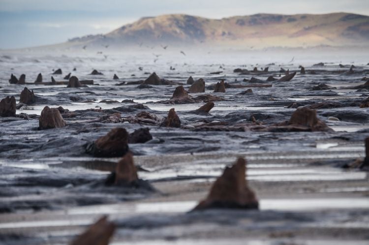
Your support makes all the difference.The recent storms that battered the UK have offered a glimpse into the past of the Welsh coastline, by washing away peat and revealing the stunning remains of ancient forests.
Gnarled tree stumps and roots, believed to be dating from the Bronze Age, have become visible for the first time on the shore near the village of Borth, Ceredigion, Mid Wales.
Now, remains of oak and pine trees preserved by peat protrude on the beach near Ynyslas - the most northern section of coast to be revealed in living memory, the Daily Mail reported.
Legend has it that the region was home to the fertile kingdom of Cantre’r Gwaelod, or the Sunken Hundred, that was lost under the sea when Seithenyn, one of the two princes guarding the area got drunk, and left the area prone to the floodgates of the sea.
The affect of the recent weather is also visible further down the west coast of the UK, as the heavy winds and rain shifted swathes shingle and sand on Cornish beaches, to reveal more so-called “submerged forests”.
Large trunks of oak, beech and pine in peat beds are now also visible near Penzance in Mount's Bay.
For centuries, experts had known that the forests existed, but they are rarely exposed as they are now on Portreath beach and in Daymer Bay.
Using radiocarbon dating on the peat beds, geologists believe extensive forests extended across Mount's Bay between 4,000 and 6,000 years ago when hunter gatherers were giving way to farming communities.

Frank Howie, Cornwall Wildlife Trustee and chair of the county's Geoconservation Group, said: “The forest bed at Wherry Town on the west side of Penzance has not been exposed to this extent for 40 years or more.
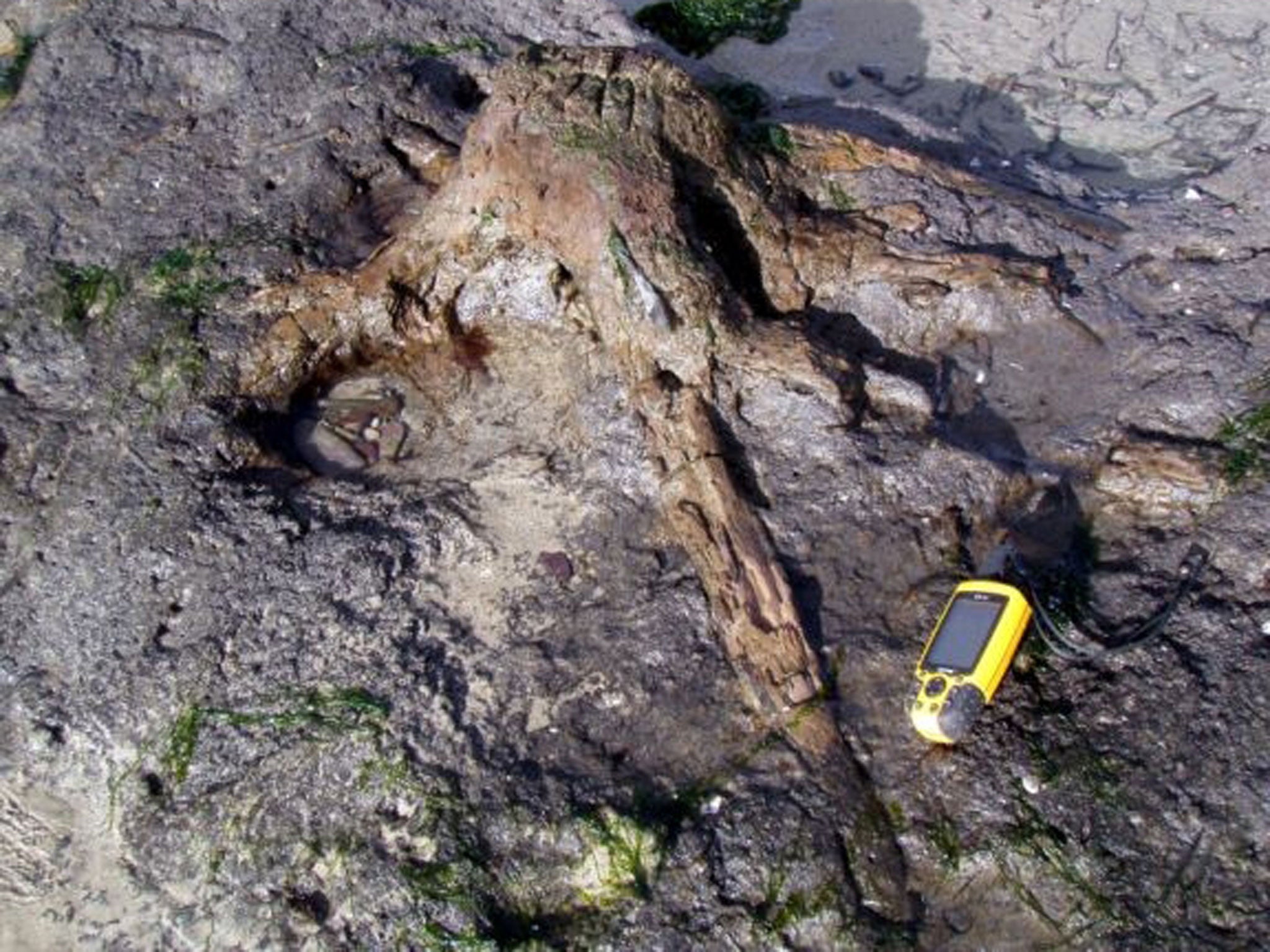
“At Chyandour to the east of Penzance rooted stumps are exposed in situ in peaty soils and massive trunks have been washed out onto the rocky foreshore.
"These forests were growing four or five thousand years when climate was slightly warmer than today.
“They were not flooded at the end of the last ice age which happened around 12,000 years ago.”
Submerged forests are evidence of changes in the bay as sea level has risen since the end of the last glaciation, he added.
The Mount's Bay forest bed is one of the 117 County Geology Sites monitored and managed by the Cornwall Geoconservation Group in conjunction with the Trust and its volunteers.
"The storms have revealed two to five metre trunks of pine and oak as well as the remains of hazel thickets with well-preserved cob nuts and acorns washed out by streams running across the beach.
Dave Fenwick, local wildlife photographer and marine recorder, added: "The tree stumps and trunks now exposed illustrate merged biodiversity and geodiversity with colonies of recent and sub-fossil wood boring molluscs, some now rare in Cornwall.”
Several rooted tree stumps, as well as Neolithic shell middens and fossil soils containing snails - some rare or extinct in Cornwall - have also been uncovered.
However, it is expected the exposed forests will soon be covered once more with sand deposits over the next few months.
Mr Howie added that the sites are “all very fragile” and could be damaged by further storms or trampling by onlookers.
He appealed for anyone with photographs of other exposed coasts to contact him by emailing fmp-howiemsn.com.
Additional reporting by PA
Join our commenting forum
Join thought-provoking conversations, follow other Independent readers and see their replies
0Comments