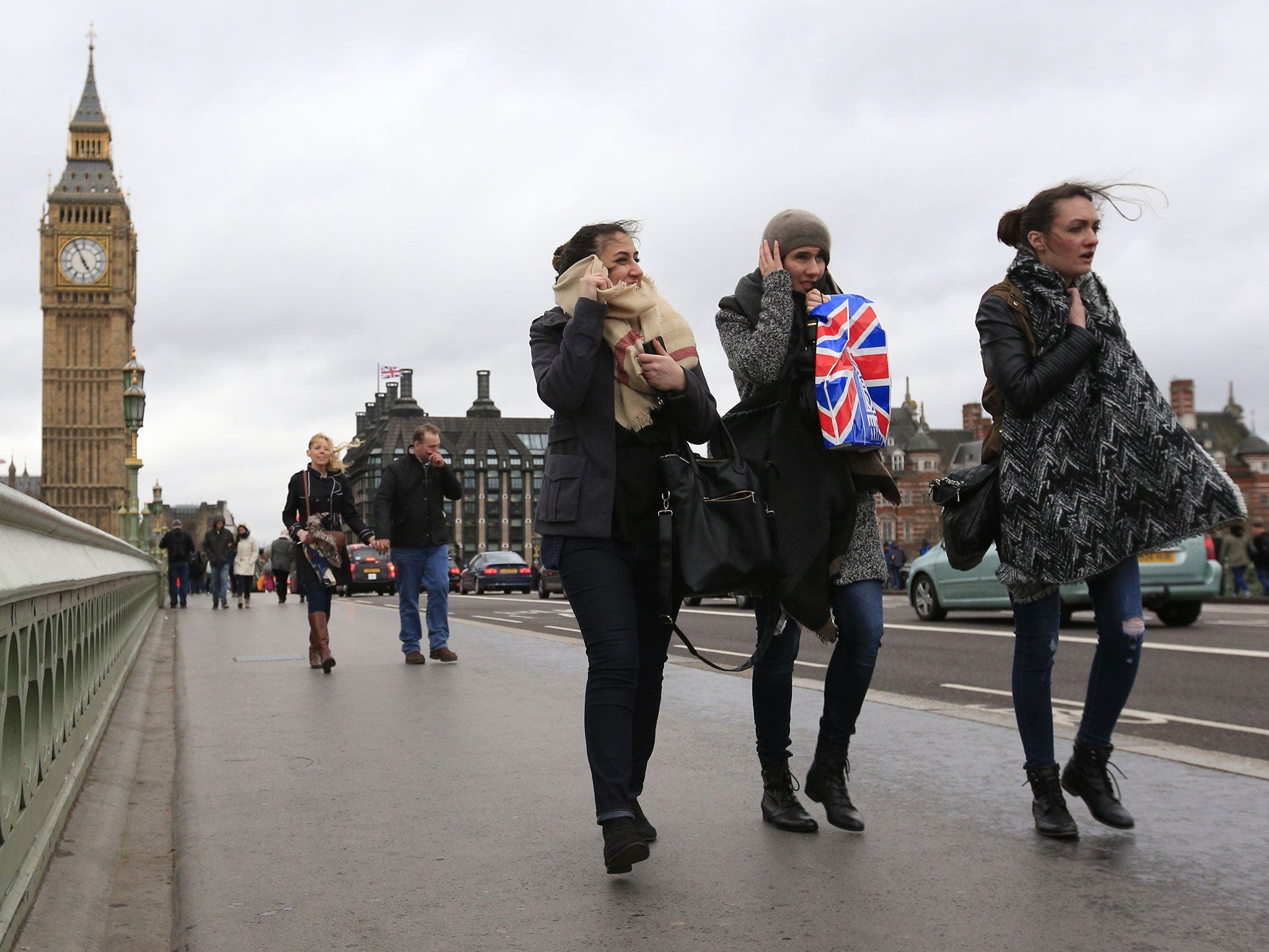
UK weather: Storm Katie to batter Britain with 70mph winds over Easter weekend
Met Office issues weather warnings for several areas across the UK

Your support helps us to tell the story
From reproductive rights to climate change to Big Tech, The Independent is on the ground when the story is developing. Whether it's investigating the financials of Elon Musk's pro-Trump PAC or producing our latest documentary, 'The A Word', which shines a light on the American women fighting for reproductive rights, we know how important it is to parse out the facts from the messaging.
At such a critical moment in US history, we need reporters on the ground. Your donation allows us to keep sending journalists to speak to both sides of the story.
The Independent is trusted by Americans across the entire political spectrum. And unlike many other quality news outlets, we choose not to lock Americans out of our reporting and analysis with paywalls. We believe quality journalism should be available to everyone, paid for by those who can afford it.
Your support makes all the difference.Storm Katie is set to bring high winds to coastal regions for the rest of the Easter weekend.
A nationwide weather warning for wind has been issued and drivers are being warned to watch out for strong gusts on roads and the possibility of fallen trees.
The Met Office has also issued yellow weather warnings for northern Scotland on Sunday.
Forecasters say that winds could reach up to 80mph in Orkney and Shetland, but should clear across most of mainland Scotland by mid-morning.
A weather warning for the South West, South East and the east of England is in place for Monday, advising wariness about winds of up to 70mph around the south coast.
Large waves are also expected, and some heavy rain.
Anyone travelling has been warned to watch out for low level disruption.
However the Met Office had previously said the warning would extend to south Wales and the Midlands until later in the day, and it has now been scaled back.
The chief forecaster's assessment for Monday said: “An area of low pressure is expected to rapidly deepen to the south west of the UK later on Sunday and then run northeastwards across England and Wales on Monday accompanied by some very strong winds, large coastal waves and heavy rain.
“There remains a fair amount of uncertainty over the track and timing of this system, and so where and when the peaks of strongest winds will occur.
“However, there is a continuing signal for a period of disruptive winds, perhaps now more focused towards south-eastern parts of England. This alert will be updated on Sunday in light of further information.”
Showers will continue through Tuesday with hail and thunder also possible.
PA
Join our commenting forum
Join thought-provoking conversations, follow other Independent readers and see their replies
Comments