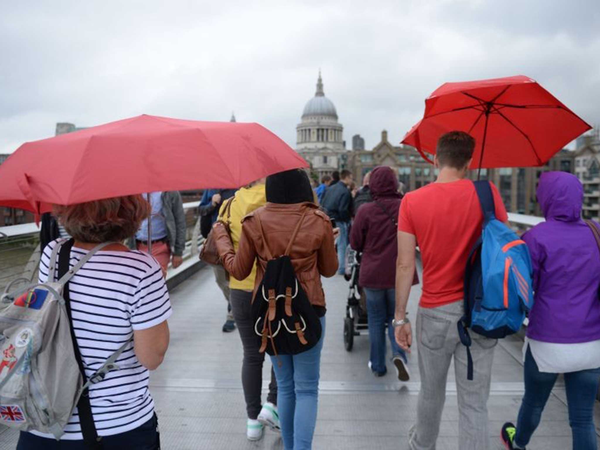
UK weather: Month's rainfall expected to hit England and Wales in two days
The Met Office has issued warnings over heavy downpours on Thursday and Friday

Your support helps us to tell the story
From reproductive rights to climate change to Big Tech, The Independent is on the ground when the story is developing. Whether it's investigating the financials of Elon Musk's pro-Trump PAC or producing our latest documentary, 'The A Word', which shines a light on the American women fighting for reproductive rights, we know how important it is to parse out the facts from the messaging.
At such a critical moment in US history, we need reporters on the ground. Your donation allows us to keep sending journalists to speak to both sides of the story.
The Independent is trusted by Americans across the entire political spectrum. And unlike many other quality news outlets, we choose not to lock Americans out of our reporting and analysis with paywalls. We believe quality journalism should be available to everyone, paid for by those who can afford it.
Your support makes all the difference.England and Wales will be deluged by a month’s worth of rainfall in two days as forecasters issue weather warnings for swathes of the country.
The worst-hit areas will include the Midlands and the Home Counties, with up to 50mm of rainfall expected on Thursday and as much as 70mm on Friday - more than the August average of 69mm.
South-eastern parts of the country are also at risk of thunder and flooding.
Nick Prebble, a forecaster for MeteoGroup, told The Independent that heavy rainfall was expected to hit overnight tonight and at dawn tomorrow.
Prebble said "local torrential downpours” were expected to affect the south east and east Anglia tomorrow, while western Scotland and northern Ireland would “escape most of the rain".
MeteoGroup’s senior forecaster Julian Mayes said: “A thundery area of low pressure is developing over the northern Spain and this will spread warm, humid air northwards over the next two days.”
“The rain may be most persistent and slow-moving in the south western half of England together with east Wales, but the risk of thunderstorms may be greatest in the eastern half of England with torrential downpours possible at times."
The Met Office has issued a yellow warning for rain in the south of England and Wales valid from 6am on Thursday morning to 11:50pm at night.
A second yellow warning for rain has been issued for the whole of England and Wales on Friday.
Mark Wilson, a meteorologist at the Met Office told The Independent: "Through the course of tonight and mainly through Thursday and into Friday, there is the risk of some heavy thundery rain and showers pushing north through much of the UK. Really only Ireland [will escape] the worst of the weather."
Warm air from the continent - which is expected to cause heavy showers, hale and torrential downpours - has prompted the weather warnings.
Thursday and Friday are also set to feel muggy and humid due to pressure weather, but by the weekend, the weather is likely to pick up.
Mr Wilson said: “The weekend looks like its going to improve, but I think it will start off quite showery in parts of the east. We’re going to see drier and brighter weather pushing in through the west."
Join our commenting forum
Join thought-provoking conversations, follow other Independent readers and see their replies
Comments