UK weather: Met Office issues wind warning as 'powerful jet stream' approaches
The 'unseasonably windy spell' was set to hit on Monday into Tuesday

Your support helps us to tell the story
From reproductive rights to climate change to Big Tech, The Independent is on the ground when the story is developing. Whether it's investigating the financials of Elon Musk's pro-Trump PAC or producing our latest documentary, 'The A Word', which shines a light on the American women fighting for reproductive rights, we know how important it is to parse out the facts from the messaging.
At such a critical moment in US history, we need reporters on the ground. Your donation allows us to keep sending journalists to speak to both sides of the story.
The Independent is trusted by Americans across the entire political spectrum. And unlike many other quality news outlets, we choose not to lock Americans out of our reporting and analysis with paywalls. We believe quality journalism should be available to everyone, paid for by those who can afford it.
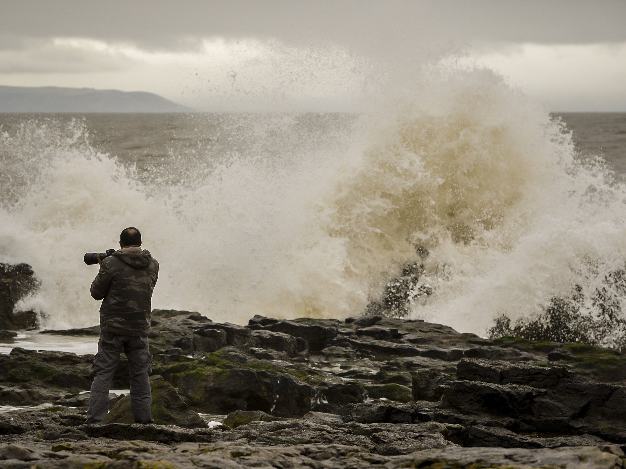
Your support makes all the difference.The Met Office has warned that Britain is about to be hit by an “unseasonable” blustery storm, bringing heavy rains, large waves and the potential for damaging 70mph winds.
Issuing a severe weather warning for Monday and Tuesday, meteorologists said that a “powerful jet stream” was pushing extreme weather systems across the UK that were decidedly unusual for the start of summer.
English Channel and Irish Sea coasts were warned to expect gusts of up to 70mph, while everywhere but the northern-most tip of Scotland was predicted to experience strong winds of up to 50mph.
The Met Office said the storm front could bring up to 40mm of rain to some northern and western areas on Monday night – around two-thirds of the entire June average for the UK.
It said the windy weather would persist well into Tuesday because of a further system crossing northern Scotland, but added that the developments remain uncertain.
“Given the unseasonable nature of the winds, the public should be aware of the potential for disruption to transport and outdoor activities,” a statement warned.
“Damage to some trees seems likely,” it added.
The bad weather is expected to clear from Wednesday, however, when temperatures will soar over 25C and could even hit 30C by Saturday in parts of the south and Midlands.
That forecast means some parts of Britain could experience temperatures 5C higher than the south of France and Monaco – while even the North and Scotland could see the mercury hit 25C.
Mark Wilson, a meteorologist at the Met Office, told The Independent: “It will be a marked change from cool to warmer weather across the UK.”
Join our commenting forum
Join thought-provoking conversations, follow other Independent readers and see their replies
Comments