UK weather: ‘Very warm’ bank holiday weekend forecast after post-heatwave cooldown
The south to enjoy warmth in mid-20s and possible humidity, with cooler temperatures in the north

Get the free Morning Headlines email for news from our reporters across the world
Sign up to our free Morning Headlines email
The bank holiday weekend will be warm and dry in most parts of the UK, according to weather forecasts.
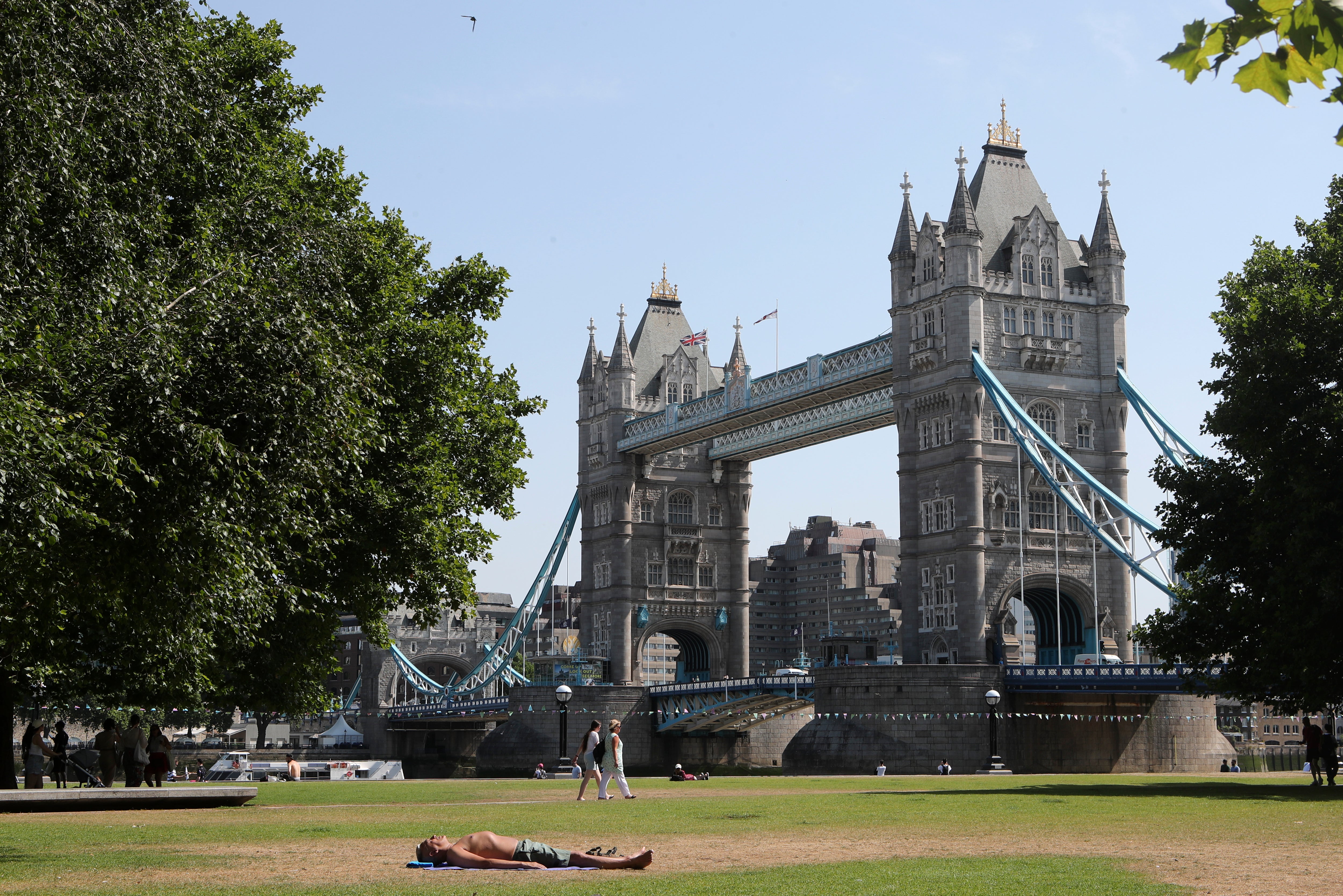
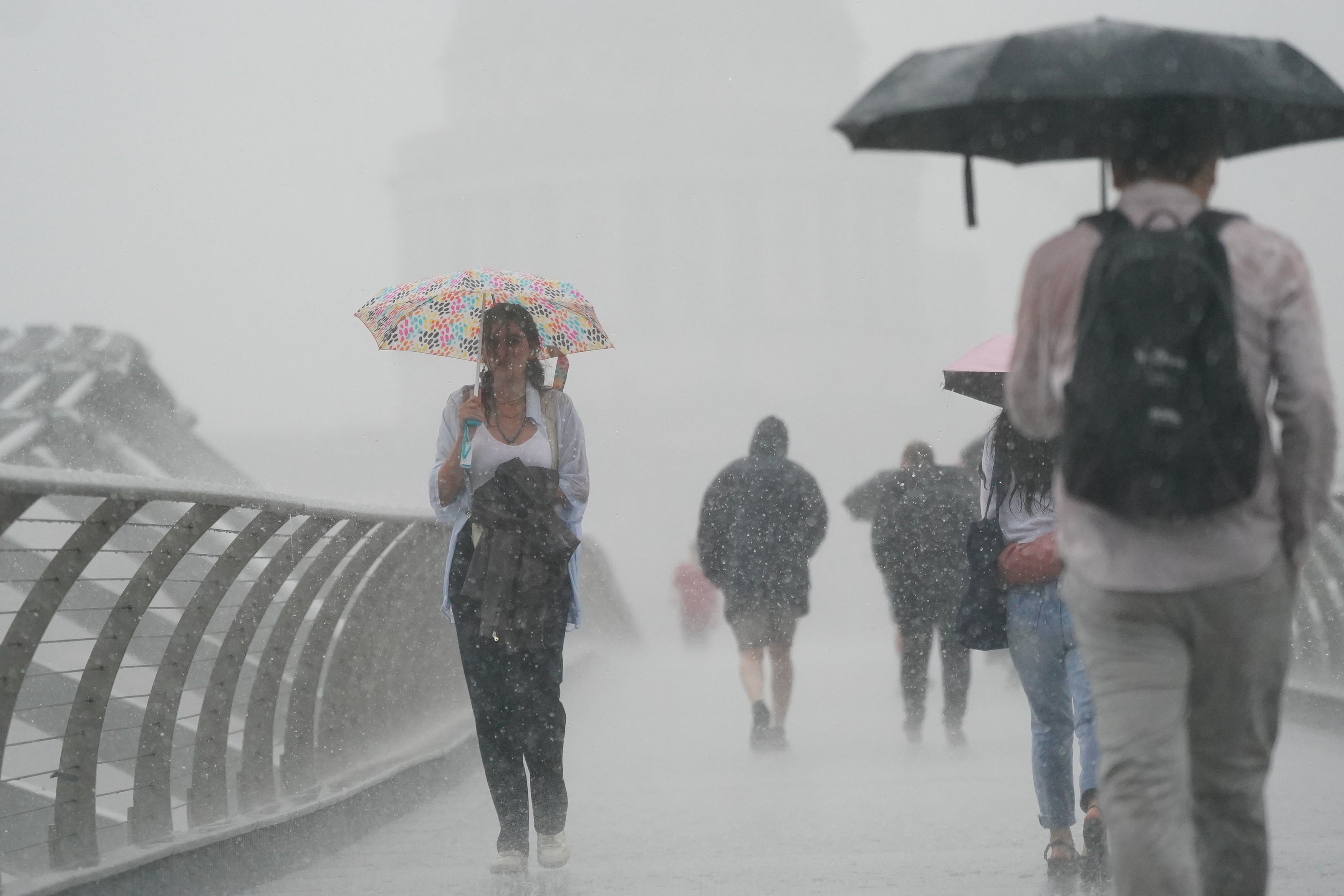
Over the past two months, the UK sweltered under record-breaking temperatures before this last week brought some cool relief with thunderstorms and heavy rain in many regions.
With the heatwave over, many people looking forward to the bank holiday – which is the last one before Christmas time – would be relieved to know that the weather is largely expected to remain “fine and dry”.
London will see highs of about 24C, according to the website Accuweather. Elsewhere, temperatures of up to 21C are expected in Birmingham, 23C in Cardiff, 19C in Edinburgh, 19C in Liverpool, 20C in Manchester, 18C in Newcastle, and 22C in Newquay.
Although the Met Office has not predicted temperatures in its long-range forecast for next weekend, it said that the weather will be “settled” with “very warm” temperatures and some possible humidity in the south.
It said in its forecast for Thursday 25 August to Saturday 3 September: “After an unsettled week, settled conditions are expected to spread over the UK during this period, bringing fine and dry weather to most places.
“Stronger winds and some showers are likely in the north and northwest, and further thundery showers are also possible across the south and southeast in the early part of the period.
“A northwest/southeast temperature split may also develop, where cooler air will characterise the north, with the south becoming very warm and perhaps feeling humid.
“By the end of this period fine and dry weather is likely to prevail for many, albeit with the odd shower again in the south and northwest.
“Light winds are likely with plenty of sunshine, and temperatures generally warm or locally very warm in the south.”
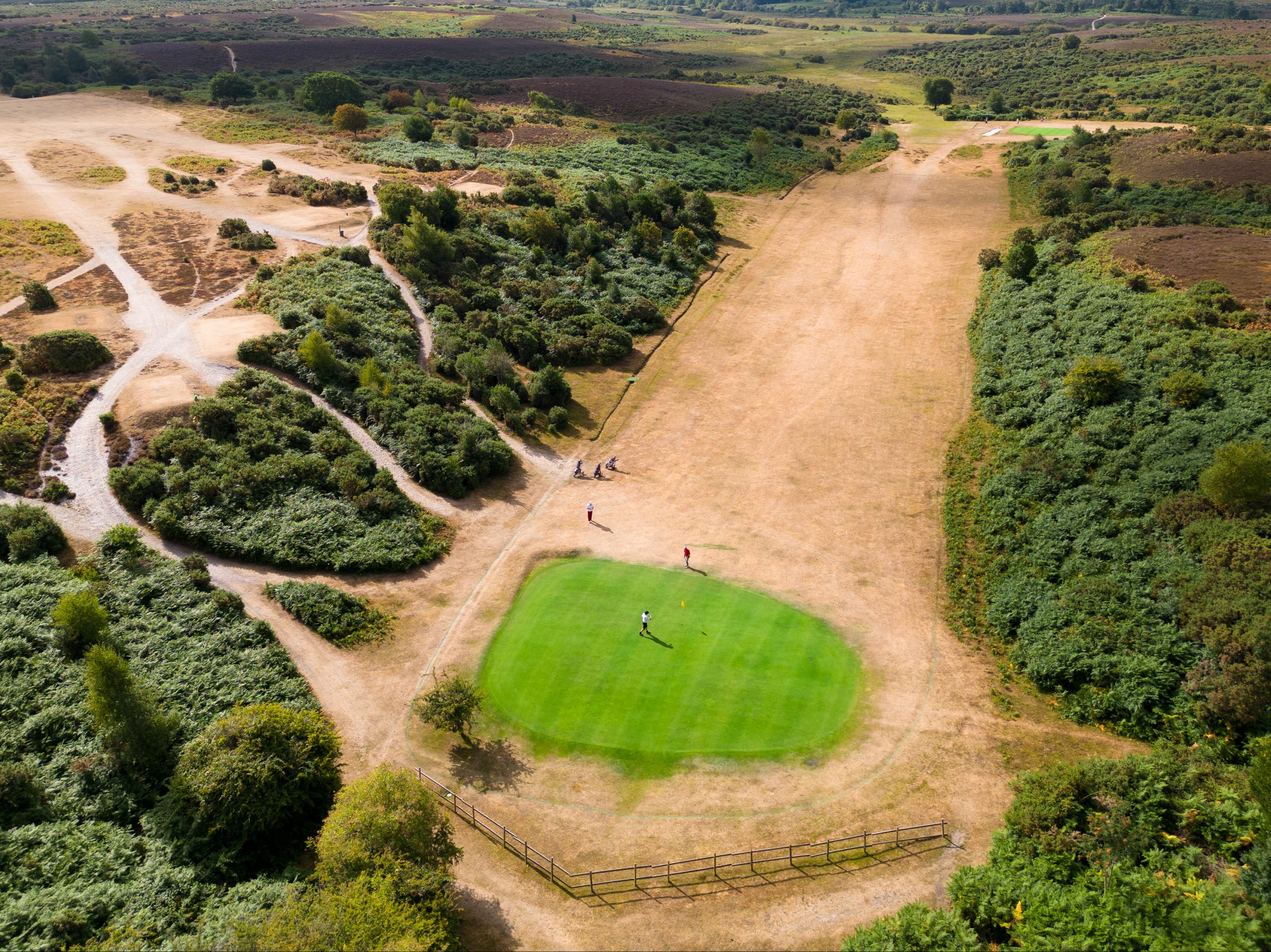
Meanwhile, more hosepipe bans will come into force over the coming week as a result of the prolonged hot and dry weather over the summer – that saw record highs of 40C in many parts of the UK.
Thames Water’s hosepipe ban starts on Wednesday (24 August) and Yorkshire Water’s on Friday (26 August), after many areas of the country declared droughts this month.
Martyn Hattersley, head of demand management at Yorkshire Water, said on Friday: “Yorkshire is officially in a drought... our reservoirs are low, at below 50% full.
“A sincere thank you to our customers for using water wisely. By reducing the amount of water used, we can help to keep as much water in reservoirs as possible.”


On Tuesday (23 August), a hosepipe ban announced by South West Water for the whole of Cornwall and a small area of northwest Devon will come into force for the first time in the region in 26 years.
Welsh Water’s hosepipe ban came into force on 19 August, South East Water’s ban for the Kent and Sussex area on 12 August, and Southern Water’s in Hampshire and on the Isle of Wight on 5 August.
Subscribe to Independent Premium to bookmark this article
Want to bookmark your favourite articles and stories to read or reference later? Start your Independent Premium subscription today.
Join our commenting forum
Join thought-provoking conversations, follow other Independent readers and see their replies
Comments