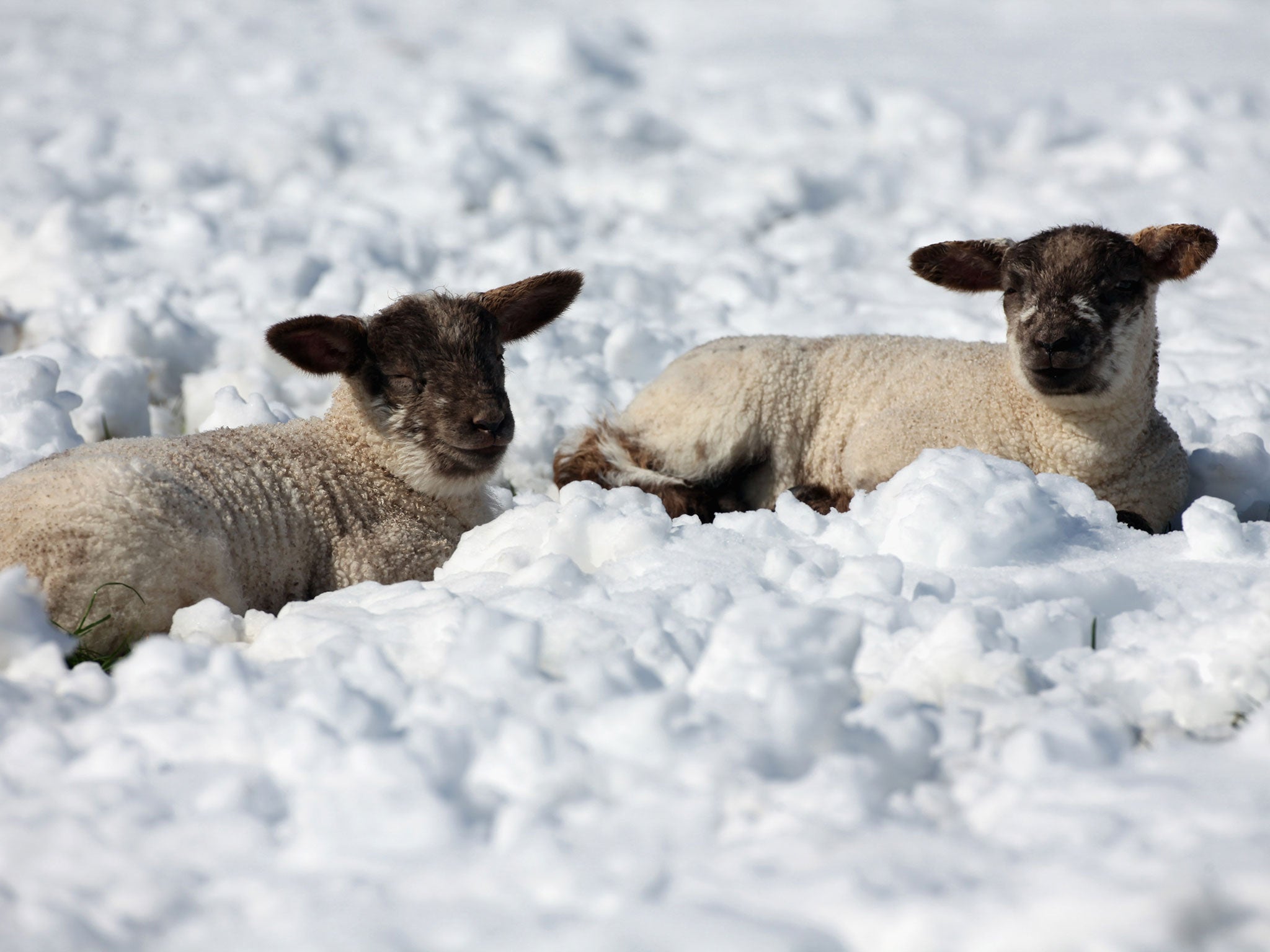
UK weather: Arctic blast bringing snow, sleet and gale force winds likely to linger over May Bank Holiday weekend
Temperatures in parts of Northern Ireland have fallen as low as -8C

Your support helps us to tell the story
From reproductive rights to climate change to Big Tech, The Independent is on the ground when the story is developing. Whether it's investigating the financials of Elon Musk's pro-Trump PAC or producing our latest documentary, 'The A Word', which shines a light on the American women fighting for reproductive rights, we know how important it is to parse out the facts from the messaging.
At such a critical moment in US history, we need reporters on the ground. Your donation allows us to keep sending journalists to speak to both sides of the story.
The Independent is trusted by Americans across the entire political spectrum. And unlike many other quality news outlets, we choose not to lock Americans out of our reporting and analysis with paywalls. We believe quality journalism should be available to everyone, paid for by those who can afford it.
Your support makes all the difference.The glorious spring sunshine has come to an abrupt end in some parts of the country, due to an Arctic blast which could make for a wintry May bank holiday weekend for some.
The drop in temperature has ushered in snow and sleet, across swathes of the UK. Northern Ireland was forced to endure one of the coldest April nights on record on Sunday night, as the mercury fell to a wintry -8C.
Drivers are being warned to take care on potentially hazardous roads, as showers of sleet and snow hit Scotland and Northern Ireland, before gripping northern parts of England, Wales, and the east coast. To make matters worse, gale-force winds of 50mph are predicted to batter Northern Ireland.
The mercury will continue to linger in the low teens for the rest of the week in the south, and will struggle to rise above the double digits in northern parts.
Met Office spokeswoman Nicola Maxey, explained: "The weather has started to change and it is coming from the Arctic.
"We have had a long stretch of quite settled weather where high pressure has dominated, but that has moved out. This cold air has moved in from the Arctic and that is moving slowly south."
Ms Maxey added: "We are in colder air for this week which is coming down from the Arctic.
"Northern Ireland had one of its coldest April nights on record last night and in London temperatures will be around 13C, which is a big change from the low 20s we have had the last couple of weeks.
"It looks like we are staying fairly unsettled into the start of May with temperatures average or a bit below average."
As the snow fell, residents of affected areas took to Twitter to share their snowy photos.
Simon Williams, a spokesman for the motorist group the RAC advised motorists to prepare for adverse weather conditions.
"It's important to check essentials such as coolant and anti-freeze levels and give yourself time to ensure the engine starts, especially if the car has not been used for a few days as a cold snap can badly affect the battery.
"With the possibility of ice on the roads in parts of the UK, it is also important to leave more time for journeys and drive to the conditions to avoid the possibility of an accident," he said.
The cold snap comes just a fortnight after the UK basked in the hottest day of the year so far, with people in Kent enjoying temperatures as high as 25.1C.
Additional reporting by PA
Subscribe to Independent Premium to bookmark this article
Want to bookmark your favourite articles and stories to read or reference later? Start your Independent Premium subscription today.
Join our commenting forum
Join thought-provoking conversations, follow other Independent readers and see their replies
Comments