Uk weather: Britain hotter than the Med, as summer temperatures return next week
Although temperatures are forecast to drop to 10-16C by Thursday
Your support helps us to tell the story
From reproductive rights to climate change to Big Tech, The Independent is on the ground when the story is developing. Whether it's investigating the financials of Elon Musk's pro-Trump PAC or producing our latest documentary, 'The A Word', which shines a light on the American women fighting for reproductive rights, we know how important it is to parse out the facts from the messaging.
At such a critical moment in US history, we need reporters on the ground. Your donation allows us to keep sending journalists to speak to both sides of the story.
The Independent is trusted by Americans across the entire political spectrum. And unlike many other quality news outlets, we choose not to lock Americans out of our reporting and analysis with paywalls. We believe quality journalism should be available to everyone, paid for by those who can afford it.
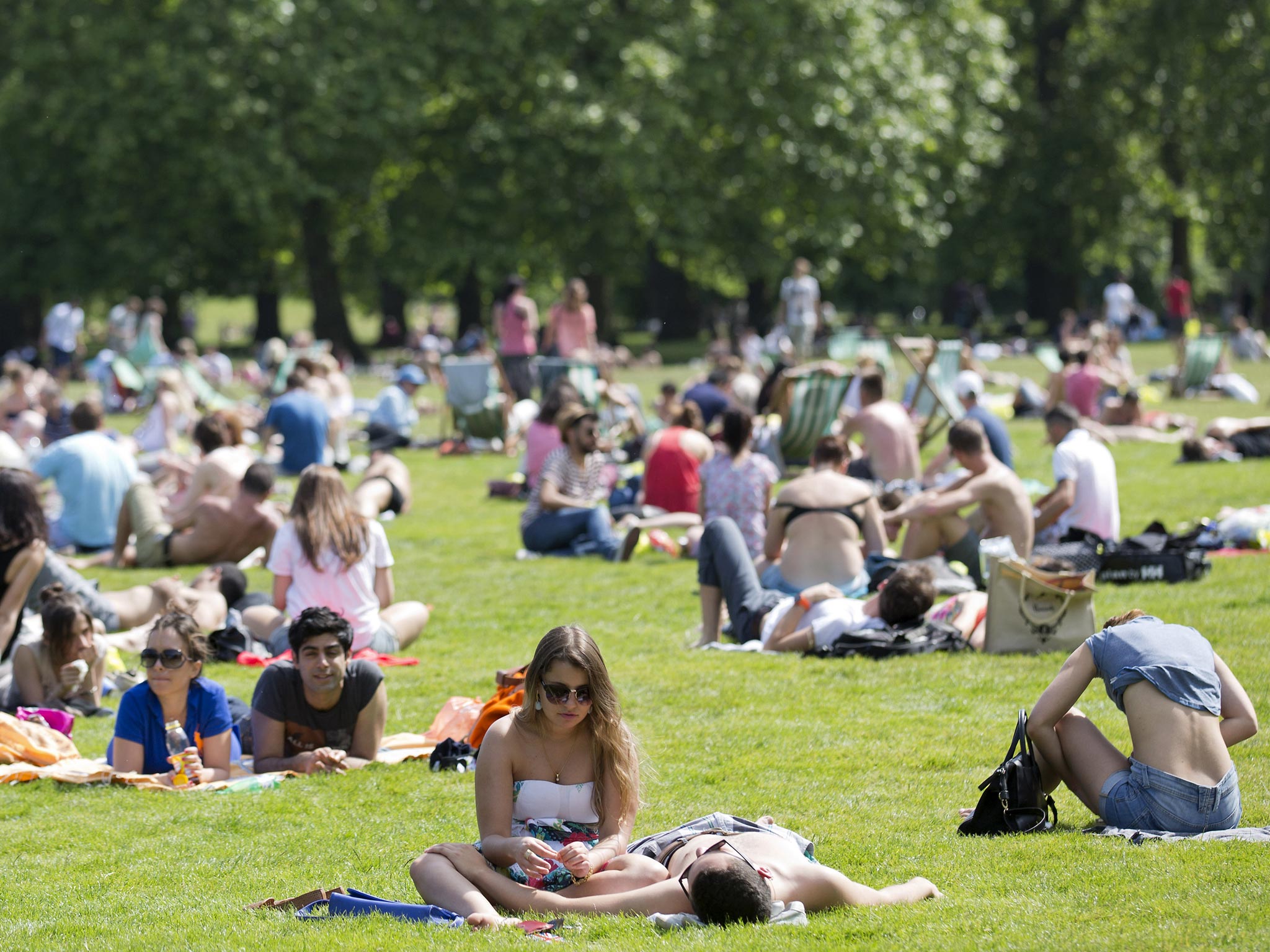
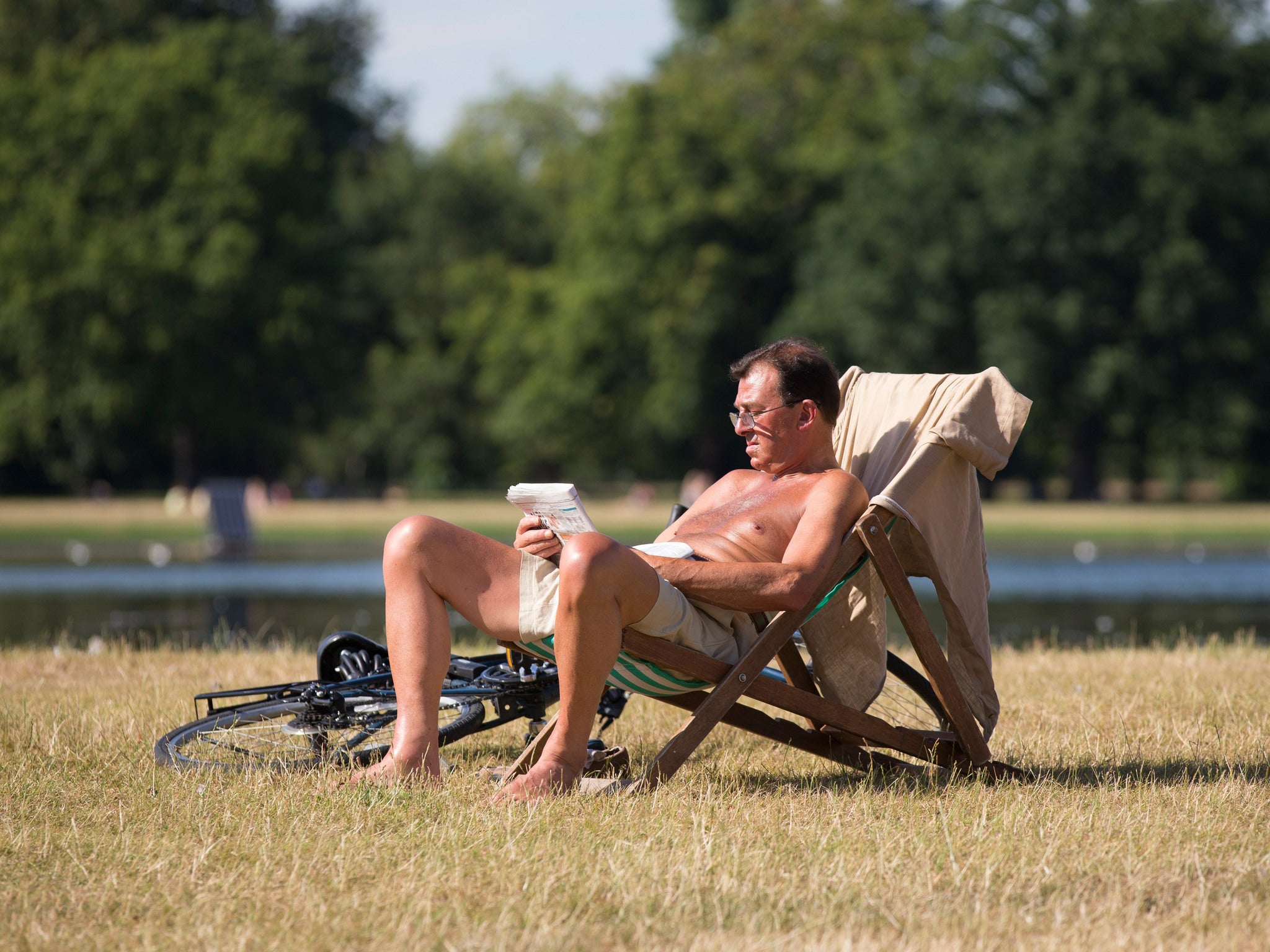
Your support makes all the difference.Warm summer temperatures will return next week, with the UK expecting highs of 24C – but the rain won't be far behind.
A 1,000 mile band of hot air, drifting over from Africa, is reported to be responsible for the 4-day long warm spell set to hit the UK from Monday.
However, gale-force winds and heavy rain will dominate the second half of the week.
According to the Met Office: "There’s a change to warmer weather due to a tropical continental air mass from north Africa."
Met Office forecaster Craig Snell confirmed: "Warm tropical air is arriving, with a fine start to the week and feeling pleasant with highs in the low 20s."
The Met Office has forecast 21C highs from tomorrow with some forecasters predicting up to 24C from Mon.
The Met Office has also confirmed that Atlantic fronts would hit the West on Wednesday, moving East across the country and delivering deluges of rain as well as high winds across the country.
Temperatures are forecast to drop to 10-16C by Thursday.
The Met Office’s Mr Snell told the Mirror: "Cooler Atlantic air will push back quicker than expected.
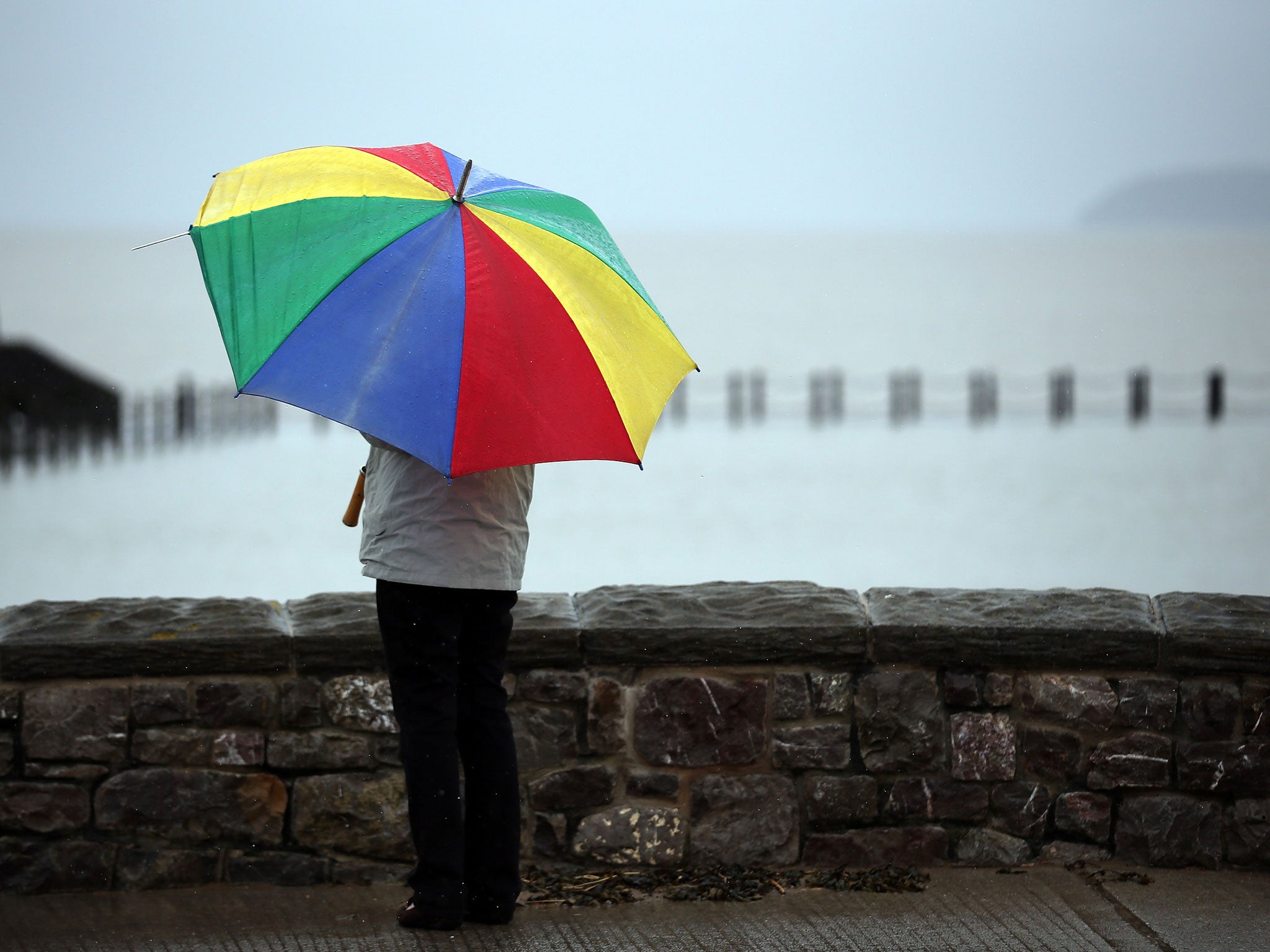
"A breakdown from the west will see wet and windy conditions spread to all areas on Thursday and Friday, with a risk of gales in the West.
"The weekend looks unsettled and dominated by low pressure, with cool temperatures and the strongest winds moving to the North."
Join our commenting forum
Join thought-provoking conversations, follow other Independent readers and see their replies
0Comments