The Independent's journalism is supported by our readers. When you purchase through links on our site, we may earn commission.
Predicting future tsunamis using historical records alone may lead to miscalculations, warn scientists
Past instances of tsunamis may be improperly recorded in history due to circumstances such as social unrest, say scientists

Sign up for a full digest of all the best opinions of the week in our Voices Dispatches email
Sign up to our free weekly Voices newsletter
A large earthquake off the coast of south-central Chile in 1737 may have caused a “substantial”, previously unrecorded tsunami, according to a new study that calls for geological and historical records to be considered in tandem when predicting future tsunami risk for a region.
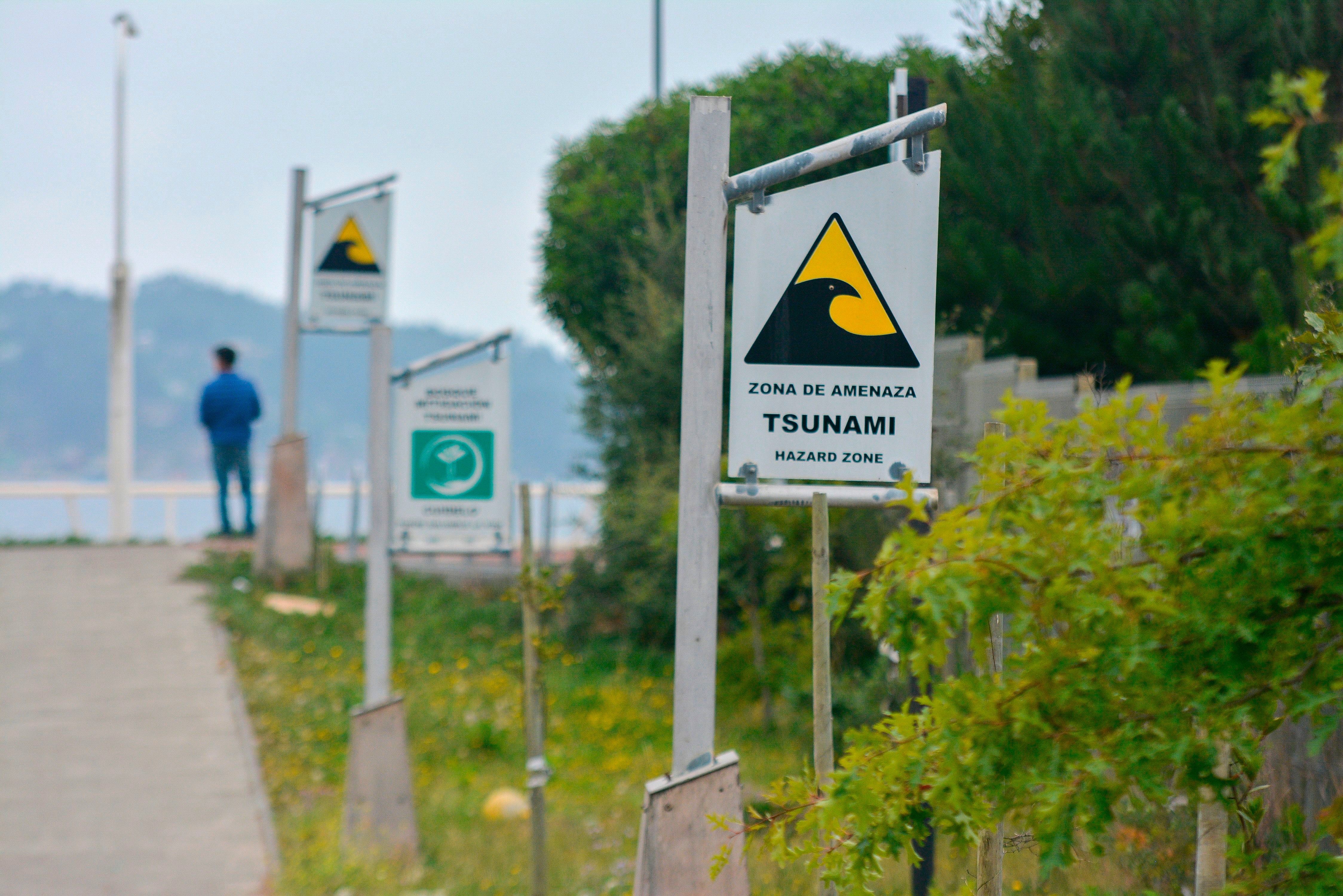
Usually, tsunami hazard assessment in several parts of the world is calculated based on historic records of flooding along particular coastlines, with the frequency of past tsunami occurrence used to predict the potential future risk, explains Emma Hocking, a co-author of the new study, from Northumbria University in the UK.
The research, published in the journal Communications Earth and Environment on Friday, suggests that such historical instances may be improperly recorded due to circumstances such as social unrest or other crises during the time.
“Assessing tsunami hazards commonly relies on historical accounts of past inundations, but such chronicles may be biased by temporal gaps due to historical circumstances,” the scientists wrote in the study.
While historical records have indicated that there was an earthquake in this part of Chile in 1737, there was no evidence until now that it generated a tsunami.
In the research, scientists assessed 130 sediment cores dating to this time and found widespread sandy layers that closely resemble deposits made by tsunami waves.
The scientists also found a mixture of marine and freshwater algae species in the sediment cores, as well as evidence of land subsidence, meaning they could rule out storms, river flooding, or a distantly generated tsunami as the cause of these sand deposits.
Until now, researchers believed tsunami-causing earthquakes had occurred in this part of Chile three times since the 1570s, including after the magnitude 9.5 earthquake of 1960.
But the new discovery suggests that tsunamis may have struck the Chilean coast more frequently than previously believed.
Researchers said the average time between historical tsunami occurrences in the region could be reduced, to an average of 130 years, instead of the large tidal waves recurring once every 280 years.
They argued that geological and historical records should be considered in tandem when predicting future tsunami risk, adding that past records alone may not provide a complete picture of their occurrence pattern.
“The implication of this is that tsunamis have occurred more often than we previously believed, and we therefore suggest that the use of historic records alone may give miscalculations,” Dr Hocking said.
“Geological evidence is essential for verifying and supplementing historical records to obtain robust long-term patterns to inform seismic and tsunami hazard assessment,” she added.
Subscribe to Independent Premium to bookmark this article
Want to bookmark your favourite articles and stories to read or reference later? Start your Independent Premium subscription today.
Join our commenting forum
Join thought-provoking conversations, follow other Independent readers and see their replies