Hillforts in Britain and Ireland reveal clues as to how our Iron Age ancestors lived
The Iron Age is still largely uncharted territory but, David Barnett learns, the remnants of the settlements our ancestors created could provide a gateway to the past
Your support helps us to tell the story
From reproductive rights to climate change to Big Tech, The Independent is on the ground when the story is developing. Whether it's investigating the financials of Elon Musk's pro-Trump PAC or producing our latest documentary, 'The A Word', which shines a light on the American women fighting for reproductive rights, we know how important it is to parse out the facts from the messaging.
At such a critical moment in US history, we need reporters on the ground. Your donation allows us to keep sending journalists to speak to both sides of the story.
The Independent is trusted by Americans across the entire political spectrum. And unlike many other quality news outlets, we choose not to lock Americans out of our reporting and analysis with paywalls. We believe quality journalism should be available to everyone, paid for by those who can afford it.
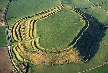
Your support makes all the difference.The many hundreds of hillforts dotted across the UK and Ireland offer a connection to our long-distant past and some clues as to how our Iron Age ancestors lived. Hillforts is something of a misnomer, though; they aren’t always on hills, and they probably weren’t “forts” in the sense of the word we think of today. “Otherwise, it’s a perfectly good name for them!” says Professor Gary Lock of the University of Oxford.
Professor Lock is one of the co-leaders of a project that reaches its fruition today to document, map and make accessible – at least online – these fascinating glimpses into how we lived in prehistoric times. The initiative is a joint one between Oxford, the University of Edinburgh and University College Cork, and an army of “citizen scientists” who have helped bring together the hitherto diverse documentation on these long-lost settlements.
A word on that terminology, though. Professor Lock says: “The name was coined in the early 20th century, and perhaps archaeologists at the time had a more military frame of mind, which was why they assumed these buildings were intended to defend against invaders.”
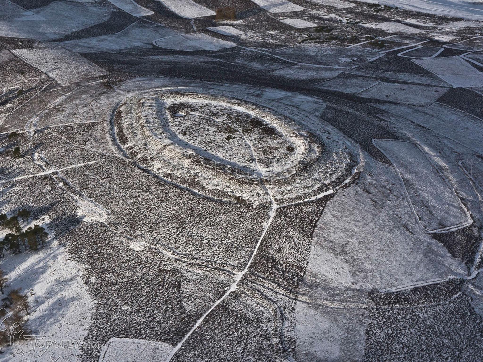
What is believed now is that hillforts were more like Iron Age community gathering places. Professor Lock says: “We’re dealing with prehistoric architecture so we can never say for certain what the true purpose of every one of them was, but we think that most of them were communal meeting places. Most people would have been farmers at the time and spread out across the countryside, to these were places for them to meet up and have social gatherings. They would probably have shared the building and maintenance of them.”
All that remains of these settlements today are earthworks and banked ditches, though there are some, notably in Scotland, where stone walls are still standing. But why is this new atlas necessary at all?
Edinburgh’s Professor Ian Ralston, waxes poetic about it. “Standing on a windswept hillfort with dramatic views across the countryside, you really feel like you’re fully immersed in history,” he says. “This research project is all about sharing the stories of the thousands of hillforts across Britain and Ireland in one place that is accessible to the public and researchers.”
According to Professor Lock, although the vast majority of British and Irish hillforts have been detected or uncovered, up to now their locations and details were recorded in a wide variety of locations, from the national monuments register to local historic environment records.
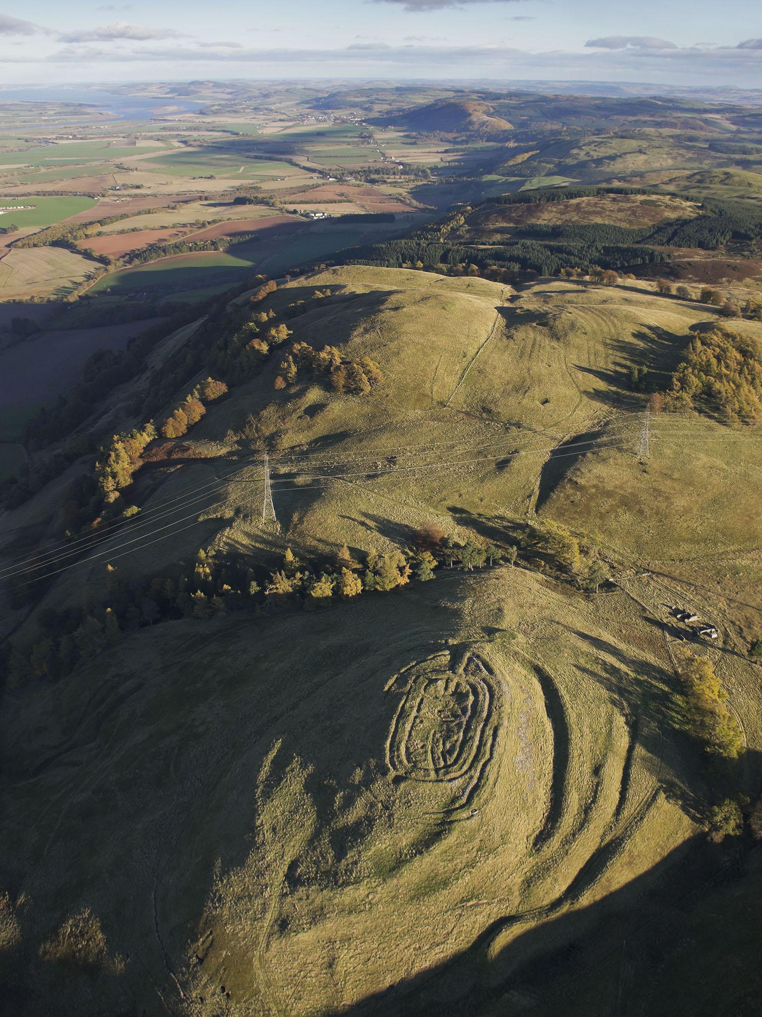
“This is the first time all this information has been pulled together and made available as a single resource,” he says, and information has also been provided by around 100 members of the public who were recruited as “citizen scientists” to provide information about hillforts they visited.
Professor Lock adds, “For the most part, we were fairly desk bound when it came to gathering the information, with occasional trips out to some sites. One of the biggest jobs we had was deciding what exactly constituted a hillfort for the purposes of this project, and where we drew the line.”
When they had drawn up the criteria, the team then set about collating the data and eventually drew up a list of no fewer than 4,147 hillforts. Most are British Iron Age, dating to around 1000BC, with the most recent example being from around 700AD.
Also on board is Professor Alice Roberts of the University of Birmingham, presenter of the BBC archaeology show Digging for Britain, and professor for Public Engagement with Science. She says: “Hillforts are an astonishing reminder of the ancient past; monumental impressions left by our ancestors on the landscape. But some of them are more obvious, and more well-known than others. This new atlas draws on the latest research and maps more than 4,000 hill forts – it makes this facet of our ancient heritage accessible to everybody.”
And public engagement is the key. Professor Lock says that he hopes the atlas will “encourage people to visit some incredible hillforts that they may never have known were right under their feet”, and through raised awareness these ancient sites can hopefully be protected and preserved. The atlas is a constantly-evolving thing as well; it can be updated by the public via a wiki-style database, adding to the store of knowledge on these prehistoric sites of which, for some, only cropmarks and the barest remnants show where they stood.
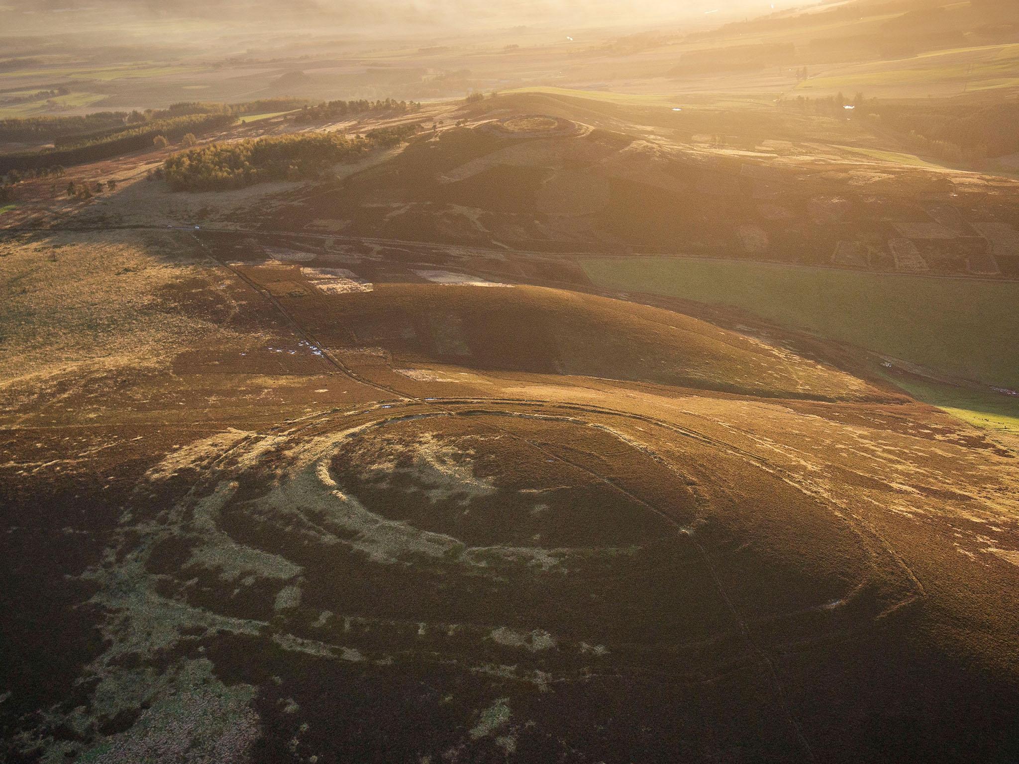
Dr Martin Poulter, Wikimedian-in-residence for the Bodleian Library at the University of Oxford, says: “We have thousands of images from the public on the database. These freely reusable data and images will help to and create content about hillforts on Wikipedia, and will direct readers to links for the main atlas website. The database also allows users to search for customised maps focused on a particular type of fort or region of the British Isles, whilst also combining hillfort locations with other data.”
The new data will be made available to the national monuments records of Britain and Ireland and will also help heritage managers, naturalists, archaeologists and policy makers to consider how we look after the hillforts, as well as raising the profile of hillforts that many of us might not know are right on our doorstep.
For example, Chanctonbury Ring, in West Sussex, is a popular tourist attraction for walkers and those who attend its regular Morris Dancing events, but perhaps few of those who go there realise that its the site of one such hillfort. Many hillforts are on easily accessible land, quite a few of them on National Trust areas, but there are some on private land, so if you’re going to go on a hillfort jaunt near you, be sure to double-check access arrangements first.
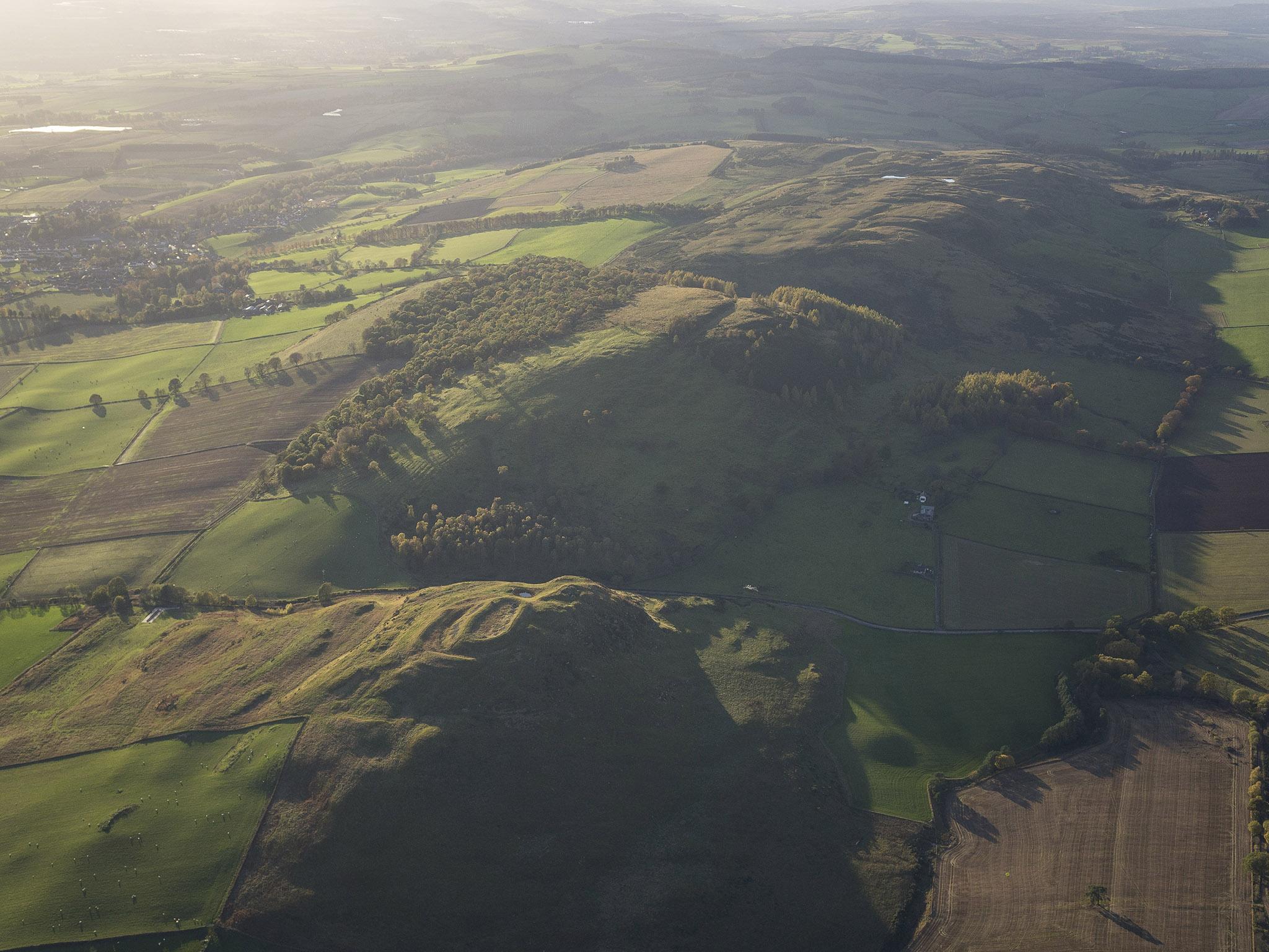
Don’t be disappointed at the misnomer of “hillforts” though… many did see vicious fighting, especially when the Iron Age gave way to Roman occupation. But the feeling is still that they were not primarily military installations. Professor Lock says: “Some of these sites are massive… they would have taken a lot of people to defend, and looking at the number of sites we’ve found and the population levels at the time, it’s unlikely that they would have been defensive structures.”
The lack of historical record means that we don’t know too much about life in Iron Age Britain, excavation of some sights has given some clues. Danebury, in Hampshire, for example, is one of the few that has been extensively excavated, and the fruits of the 1970s archaeological investigations can be seen at the nearby Andover Museum of the Iron Age.
But by and large, that period of history is still uncharted territory. Although it utilises the latest technology, this brand new atlas of hillforts (don’t worry, technophiles; there’ll be an old-fashioned paper version out next year) does serve to highlight that all around us are the remains of the society that predated ours and which remains something of a delicious mystery.
The new atlas is available online from today at www.ahrc.ac.uk, the website of the Arts and Humanities Research Council (AHRC), which has funded the research
Join our commenting forum
Join thought-provoking conversations, follow other Independent readers and see their replies
Comments