UK weather: Hottest day of year so far as temperature hits 20C — nearly double normal average
‘Wall-to-wall sunshine’ is forecast for large parts of the country - and there’s more to come

Sign up to the Independent Climate email for the latest advice on saving the planet
Get our free Climate email
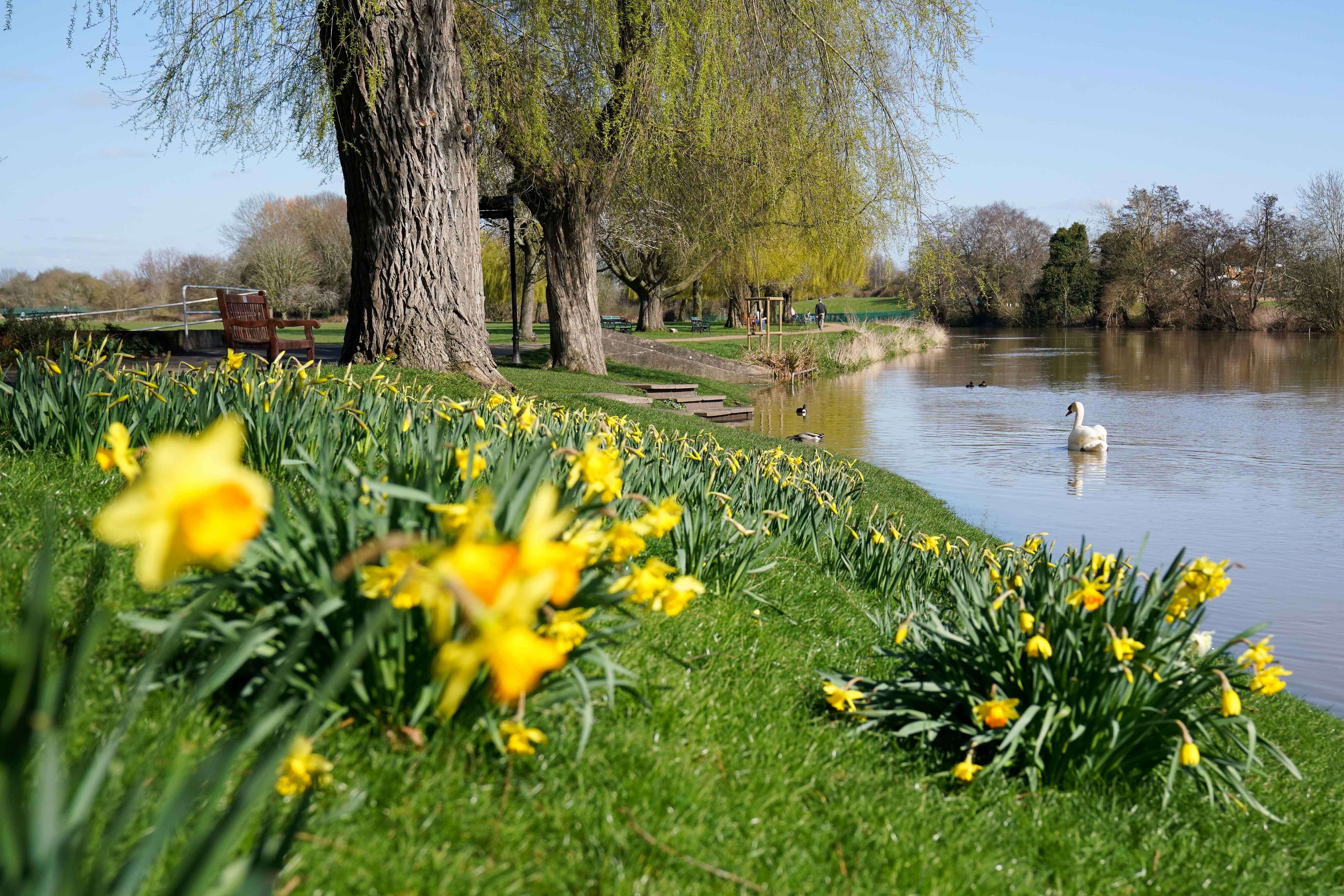
Britain has enjoyed its warmest day of the year so far with temperatures nearly double the seasonal average.
The Met Office said the mercury hit 20C in Kinlochewe, north-west Scotland, beating Friday’s high of 17.5C recorded in the West Sussex village of Wiggonholt.
Across the north west of Scotland, temperatures are expected to be 19C in Oban, and as high as 20C in Achnagart.
England is expected to see highs of 16C in Birmingham and 15C in Manchester, Southampton and the capital.
Cardiff is also set to enjoy temperatures of up to 16C whilst the rest of the UK remains in the low teens.
The warm weather and virtually cloudless skies has been spurred by areas of high pressure over Scandinavia, with the northwest enjoying the temperatures due a strong breeze across the southeast.
The area of high pressure is centred over Denmark, which could see its highest pressure record ever.
It comes after a cold snap and a series of four storms last month that battered large parts of the UK.
Temperatures are expected to drop on Sunday and Monday becoming much cooler across the UK but most areas will remain dry with some clear skies.
Whilst clouds are expected over East Anglia and far southeast of England along with a little rain, spells of sunshine should prevail elsewhere.
Met Office meteorologist Annie Shuttleworth said: “Today lots of areas will be seeing a very warm day for March, especially in north-west Scotland and parts of the Moray coast. We could see temperatures up to 20C in that area this afternoon.
“Away from that we’re likely to see temperatures of the mid to high teens, so highs of about 15C in London, and then in more western areas, so the north coast of Devon and Cornwall and the north coast of Wales, we can see more like 16C or 17C in those areas.
“It’s because we’ve got high pressure bringing wall-to-wall sunshine for much of the UK today.
“Having said that, for some southern and eastern areas of the UK it is feeling a little bit cooler than it did yesterday because of a stronger breeze, and sea temperatures aren’t that warm at the moment.”
Sunday and Monday will see slightly cooler and cloudier conditions and some showers possible in south-east England.
But dry weather should prevail everywhere else, with sunshine particularly in western areas.
Temperatures are predicted to pick up again into Tuesday and Wednesday, reaching the mid to high teens along with more sunshine and dry conditions.
Ms Shuttleworth said: “Sunday will be a bit of a cooler day across the UK and a bit more cloud around on Monday and Sunday. But as we head into Tuesday and Wednesday we are keeping with high pressure so things staying dry and temperatures will increase again up to the mid to high teens.
“There will certainly be some long-lived sunshine but it might not be wall-to-wall sunshine like on a day like today when there’s hardly a cloud in the sky.”
MET OFFICE OUTLOOK
Today:
Fine, dry and bright with plenty of sunshine. Windy though, especially in the south and west. Feeling pleasantly warm in the sunshine and out of the wind in many areas, though perhaps quite chilly in some North Sea coastal areas.
Tonight:
Turning chilly this evening and then dry but quite windy with mostly clear skies overnight. Colder than last night with a touch of frost in some rural and upland areas.
Sunday:
Most parts dry with good spells of sunshine. Cloudier at times over East Anglia and far southeast England where a little showery rain is possible. Breezy and colder than today.
Outlook for Monday to Wednesday:
Chance of early showers in the east on Monday. Otherwise, widely fine and dry with plenty of sunshine for most. A cold start for most on Monday before turning warmer.
Subscribe to Independent Premium to bookmark this article
Want to bookmark your favourite articles and stories to read or reference later? Start your Independent Premium subscription today.
Join our commenting forum
Join thought-provoking conversations, follow other Independent readers and see their replies