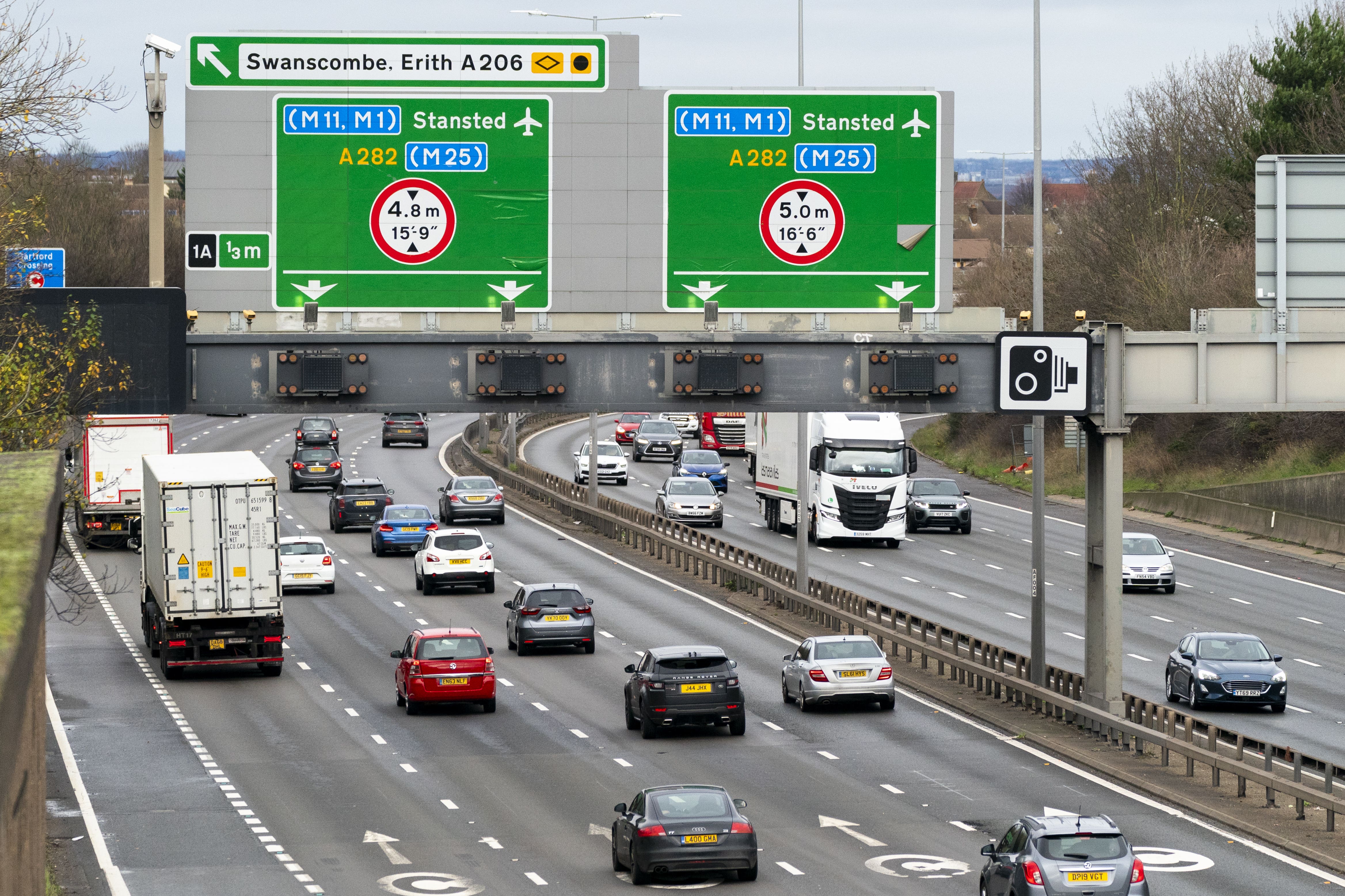
Wet and windy weather warning for drivers as UK braces for Storm Gerrit
Met Office meteorologist Simon Partridge said the storm was named as a warning to people coming home from the Christmas holidays.

Your support helps us to tell the story
From reproductive rights to climate change to Big Tech, The Independent is on the ground when the story is developing. Whether it's investigating the financials of Elon Musk's pro-Trump PAC or producing our latest documentary, 'The A Word', which shines a light on the American women fighting for reproductive rights, we know how important it is to parse out the facts from the messaging.
At such a critical moment in US history, we need reporters on the ground. Your donation allows us to keep sending journalists to speak to both sides of the story.
The Independent is trusted by Americans across the entire political spectrum. And unlike many other quality news outlets, we choose not to lock Americans out of our reporting and analysis with paywalls. We believe quality journalism should be available to everyone, paid for by those who can afford it.
Your support makes all the difference.Travellers have been warned of delays and potentially hazardous conditions on their way home from the Christmas holidays as the UK braces for Storm Gerrit.
The storm will bring strong winds and heavy rain to many parts of the UK on Wednesday, with wintry hazards also likely, forecasters warned.
Yellow wind and rain warnings are in place across much of the UK.
Network Rail Scotland warned passengers speed restrictions would be in place on Wednesday and to check for cancellations.
ScotRail customer operations director Phil Campbell said: “Unfortunately, we expect disruption to our services due to the adverse weather, and customers can expect some changes to their journeys.
“We will be working closely with our colleagues at Network Rail Scotland to ensure we are able to keep people moving as much as possible, but customers should also expect that their journeys will take longer than usual, and there could be some cancellations. ”
Met Office meteorologist Simon Partridge said the storm was named as a warning to people coming home after the Christmas holidays.
He said: “Due to the extent of the warnings that are being issued, it was deemed that a named storm would be a good idea because it will highlight to the public the risk associated, particularly as tomorrow is likely to be quite a busy day on the roads with people travelling back home from Christmas and things like that.”
A storm is named when it is deemed to have the potential to cause medium or high impacts on the UK and/or Ireland.
The Met Office and Met Eireann launched the scheme in 2015 to name storms as part of efforts to raise awareness of extreme weather events.
Mr Partridge said wet and windy weather will cover “pretty much the whole of the UK”, with significant snowfall in parts of Scotland.
A yellow rain and snow warning is in place from 6am to 9pm across much of Scotland on Wednesday.
“There are wind warnings out for the south of England, across the English Channel coast,” Mr Partridge added.
“But we also have wind warnings in force for parts of western Wales, north-west England, Northern Ireland, northern Scotland and the Northern Isles.”
He said only the central section of the UK does not have a wind warning.
Wind warning areas can expect gusts of 50-60mph, with up to 70mph on high ground and exposed coasts.
Some delays to road, rail, air and ferry transport are likely.
“In terms of rain, we have rain warnings out for the whole of Northern Ireland, western Wales, north-west England, and then there’s a combined sort of rain and snow warning for Scotland,” Mr Partridge said.
Rain in the warning areas is forecast to be between 40-60mm, with the potential for 70-90mm in the western hills of Wales and the western side of the Pennines.
There is a chance of power cuts, as well as a small chance that homes and businesses could be flooded.
Anywhere above 200 metres in Scotland and the Northern Isles is likely to see some snow, he added.