Storm Gladys could hit UK as Met Office issues weather warnings
Warnings issued as latest extreme weather has potential to be named Storm Gladys
Your support helps us to tell the story
From reproductive rights to climate change to Big Tech, The Independent is on the ground when the story is developing. Whether it's investigating the financials of Elon Musk's pro-Trump PAC or producing our latest documentary, 'The A Word', which shines a light on the American women fighting for reproductive rights, we know how important it is to parse out the facts from the messaging.
At such a critical moment in US history, we need reporters on the ground. Your donation allows us to keep sending journalists to speak to both sides of the story.
The Independent is trusted by Americans across the entire political spectrum. And unlike many other quality news outlets, we choose not to lock Americans out of our reporting and analysis with paywalls. We believe quality journalism should be available to everyone, paid for by those who can afford it.
Your support makes all the difference.Gale-force winds and heavy snow are expected to hit parts of the UK as hundreds of homes remain flooded following three storms in just four days.
Weather warnings for wind and snow are in place across northern England, Scotland and Northern Ireland – while two rare severe flood warnings have been issued in the West Midlands.
The latest bout of extreme weather has the potential to be named Storm Gladys as Britain is still recovering from Storms Dudley, Eunice and Franklin.
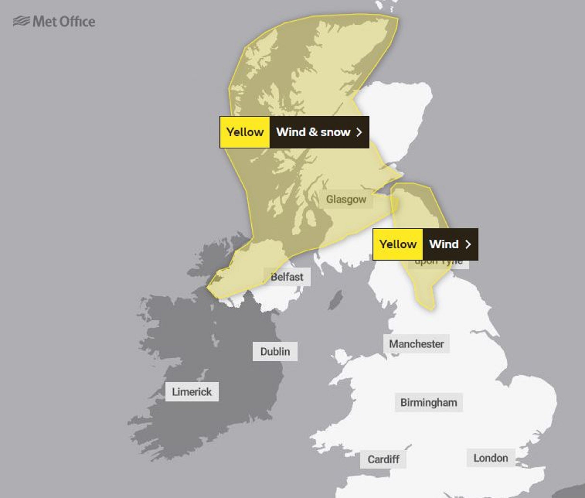
The Met Office has issued a yellow warning for wind across northeast England, Cumbria, North Yorkshire and parts of Scotland from 6am to 3pm on Wednesday.
A second yellow warning for wind and snow covers much of Scotland and Northern Ireland from 1pm on Wednesday until 3pm on Thursday – with up to 10cm of snow likely at even low levels and the possibility of 70mph gusts on coasts.
Forecasters said frequent heavy snow showers are expected, along with very gusty winds and a small chance of frequent lightning affecting some places.
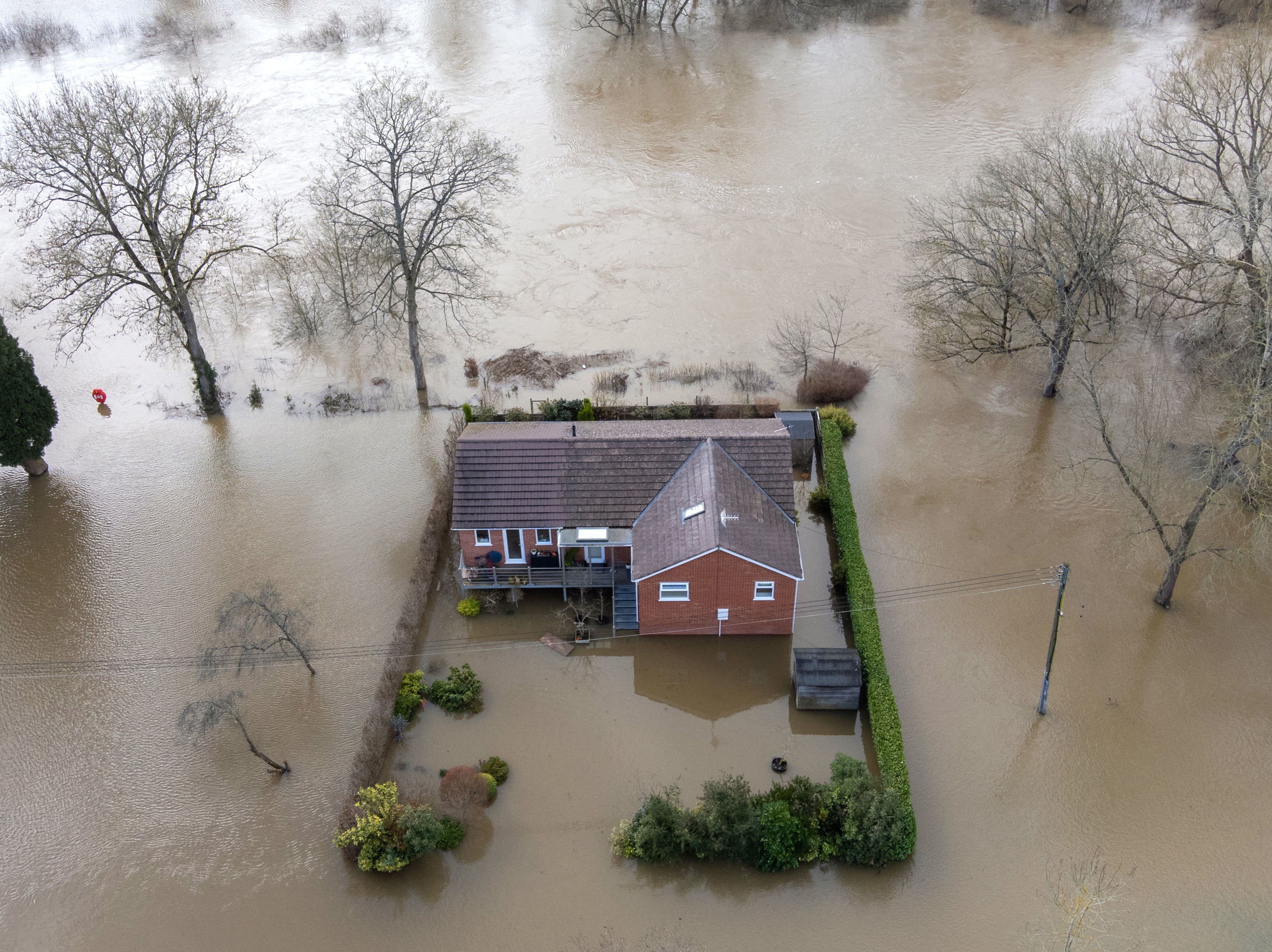
Meanwhile, the Environment Agency is urging communities in parts of the West Midlands and Yorkshire, especially those along the Rivers Severn and Ouse, to be prepared for significant flooding following high rainfall from Storm Franklin.
It has taken the rare step of issuing severe flood warnings, meaning there is a danger to life, for the River Severn at the Wharfage in Ironbridge and in Wribbenhall, Bewdley, where it is feared levels could overtop the defences.
There were also 63 other flood warnings and 55 flood alerts in place across England as of 8am on Wednesday.

About 400 properties have flooded across different parts of the country as a result of the heavy rain.
Four people also died as Storm Eunice ripped through the UK and Ireland on Friday.
The worst storm in decades saw a wind speed of 122mph recorded in the Needles on the Isle of Wight, setting a new provisional record for England.
Dudley, Eunice and Franklin also left 1.4 million households without electricity, some for up to 72 hours.
Environment secretary George Eustice said 40,000 homes had been protected by flood defences, as he was quizzed on flooding and the lack of permanent defences on the River Severn at the National Farmers’ Union conference.

He said: “The Severn has had some issues particularly around Bewdley and Ironbridge and also some issues as well around Shrewsbury, but actually the defences that we have put in place have been very successful, as they were two years ago, protecting those communities.
“We know there are around 40,000 homes that have been protected by the flood defences put in place and on the Severn in particular we have these rather innovative demountable barriers that enable you to use the river normally most of the year.
“And then when the flood risk arises, we put up temporary barriers alongside the river, and those have been remarkably successful at reducing the flood risk particularly along the Severn, and have been again this time.”
While there had been some flooding it remained relatively low, he said.
“It obviously is a tragedy for those who do get flooded, but in the context of the 40,000 homes that we’ve protected through the flood defences we’ve got in place, you always have to keep that in mind,” Mr Eustice added.

Katharine Smith, flood duty manager at the Environment Agency, said significant river flooding is expected in the coming days as she advised people to stay away from swollen rivers.
She said: “We are still facing a significant flooding risk, and we are urging people to remain vigilant and take extreme care.
“Heavy rain, affecting already wet areas, is likely to cause significant river flooding along the River Severn over the next few days.
“So far we have received reports of around 400 properties having flooded over the past few days. Our thoughts go out to all those affected - flooding can and does have a devastating impact on people’s lives.
“We have teams out on the ground taking preventative action, closing flood gates, deploying temporary barriers and moving pumps and other response equipment to areas of highest risk.
“Environment Agency defences have protected more than 40,000 properties despite record river levels.
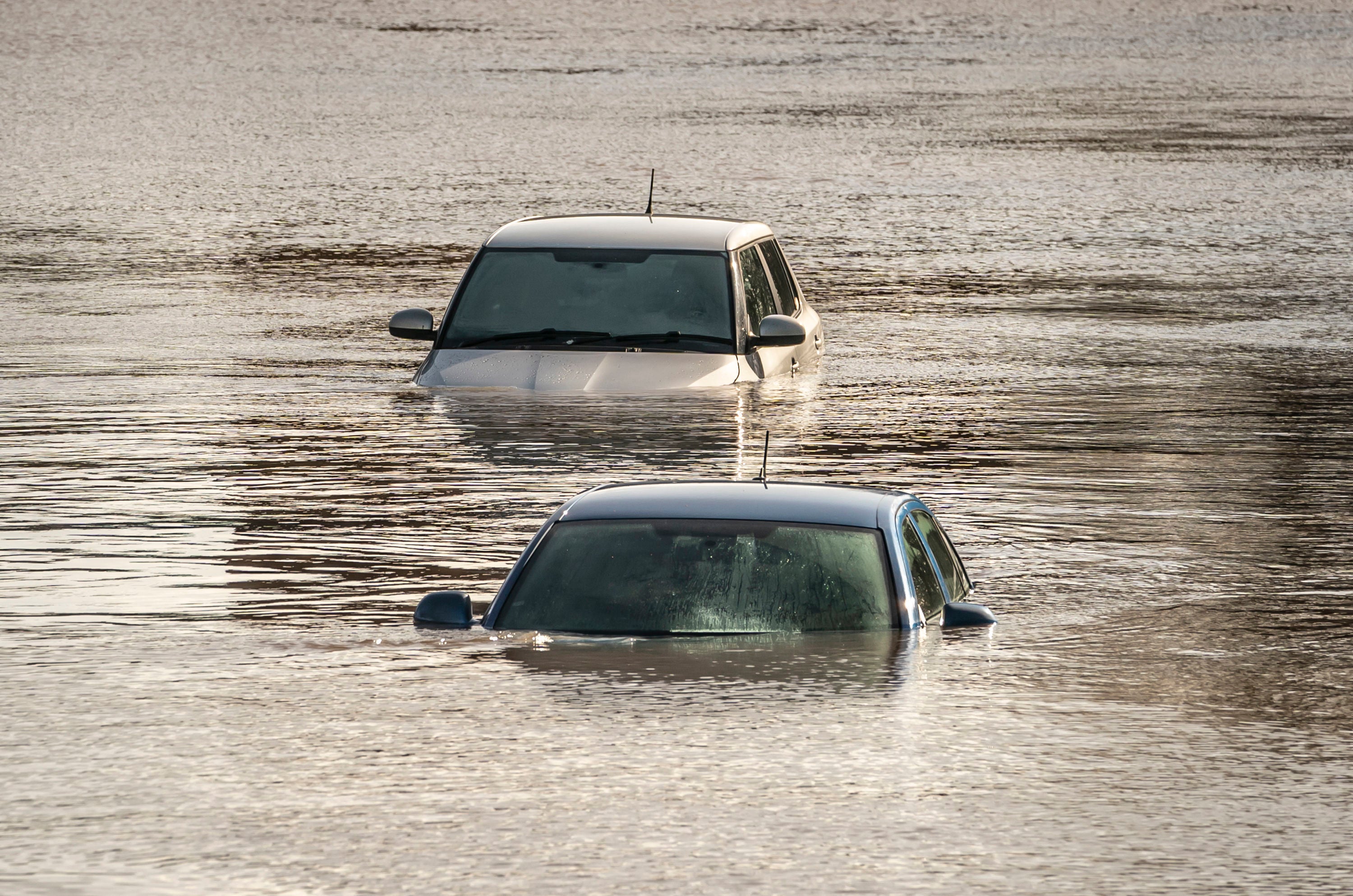
“We advise people to stay away from swollen rivers and not to drive through flood water as just 30cm of flowing water is enough to move your car.”
Additional reporting by Press Association


Join our commenting forum
Join thought-provoking conversations, follow other Independent readers and see their replies
Comments