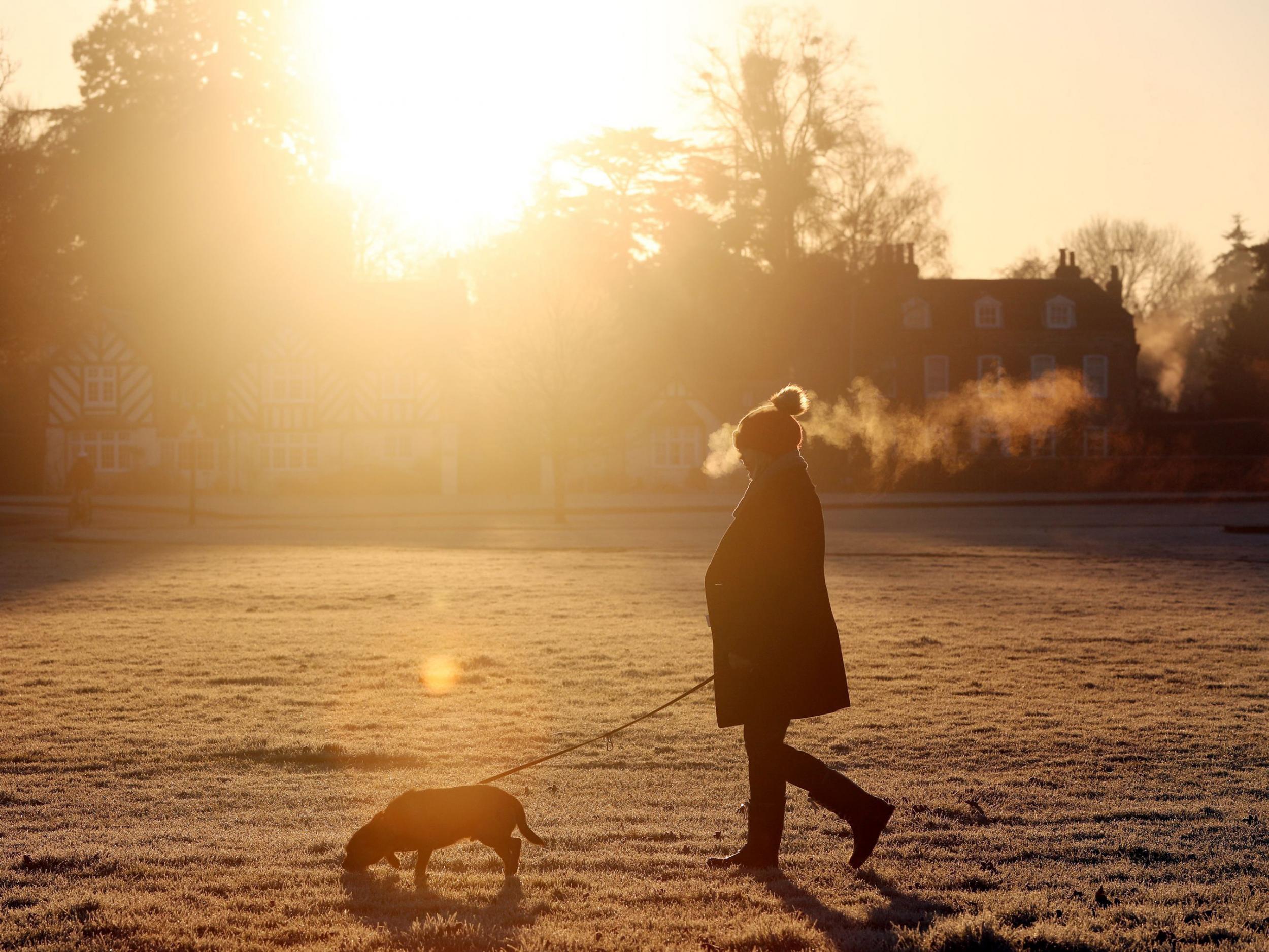
UK weather: Arctic blast to bring flurry of snow to Britain
Wintry showers that brought snow to Scotland sweeping south

Your support helps us to tell the story
From reproductive rights to climate change to Big Tech, The Independent is on the ground when the story is developing. Whether it's investigating the financials of Elon Musk's pro-Trump PAC or producing our latest documentary, 'The A Word', which shines a light on the American women fighting for reproductive rights, we know how important it is to parse out the facts from the messaging.
At such a critical moment in US history, we need reporters on the ground. Your donation allows us to keep sending journalists to speak to both sides of the story.
The Independent is trusted by Americans across the entire political spectrum. And unlike many other quality news outlets, we choose not to lock Americans out of our reporting and analysis with paywalls. We believe quality journalism should be available to everyone, paid for by those who can afford it.
Your support makes all the difference.Wintry showers could hit just about anywhere in Britain as the blast of Arctic weather that has brought snow to northern Scotland begins to move south.
Met Office forecasters say the northern hills are most likely to see snow as the cold weather moves into England over the next 36 hours.
But wintry showers could develop anywhere across the country, although any snow is unlikely to settle on lower ground.
The Met Office issued a warning for northern Scotland before the snow arrived on Monday morning and began to edge south.
Met Office spokesman Grahame Madge said the air moving over Britain from the Arctic will bring large thunder clouds which could result in hailstorms, thunder and lightning as well as the possibility of sleet and snow flurries.
He said: "As we go over the next 36 hours those wintry showers will become quite frequent.
"There's a possibility of wintry showers just about anywhere in the UK tomorrow but more likely is that people anywhere, really, could see hail."
Mr Madge said: "In the south, it's possible the people could see sleety rain or hail for some time but we're not likely to see any accumulation or settling.
"The more at risk areas for seeing snow are obviously the northern hills and we could possibly see some settling as far south as places like the the higher tops on the North Yorks Moors.
"But, generally, what we'll see in those very showery conditions is that when it starts to rain, it'll drop the temperature maybe enough to trigger the development of sleet or even the odd snow shower for a time."
Mr Madge said the colder weather will also bring plummeting temperatures at night.
He said: "By day, the temperatures won't be too bad. Really, it's the night time temperatures that are going to be quite cold. We will see widespread frosts, possibly anywhere, particularly in inland areas.
"These could be quite sharp in places so, obviously, there's an additional warning to gardeners and horticulturalists."
Mr Madge said late April snow was not unusual. He said: "It's possibly created a bit of a surprise for people because we've had such a mild March.
"I think it was the 5th mildest March in the record going back to 1910.
"So, I think the fact we've got cold weather in combination with a warm March is probably a bit of a shock for people.
"This is a sudden, brief interlude but it's not unusual."
The Met Office is expecting the weather to warm-up towards the end of the week.
Press Association
Join our commenting forum
Join thought-provoking conversations, follow other Independent readers and see their replies
Comments